Siskiyou National Forest to Hwy 199
Linked via: Proximity 81% confidence Synced 6mo ago
Gauge Conditions
Runnable: ? – ? CFS
Approximate reading: This gauge is 10.5 miles away on Rough and Ready Creek. Use as a general reference only.
Data from American Whitewater & USGS
Run Map
Run Time Estimate
Select put-in and take-out to estimate time.
Unlock Advanced Trip Planning
See wind-adjusted speed maps, forecast planning, and detailed time estimates.
Sign in to generate an AI timing estimate for this run.
Whitewater timing varies with scouting, portages, and group pace. Use as a planning baseline.
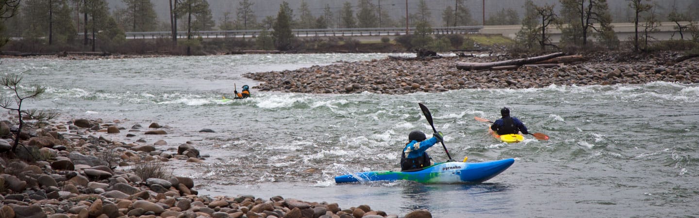
Description
Tributary of the Illinois that flows thru the same geologic feature of the North Fork Smith (Josephine Ophiolite) with a lot of the same features--long shallow boulder gardens and bedrock ledge drops with amazingly clear water and some good surf waves at higher flows.
Hazards: Be aware of the low head dam towards the end of the run which has been the site of a boating fatality. The dam's location is easy to spot by the pool backed up behind it. Eddy out and portage/scout left. A far left or right line is possible but stay out of the center.
Video of whitewater on Rough and Ready Creek: http://vimeo.com/18314475
Hazards & Portages (1)
Caution: The following locations may require scouting or portaging. Always check current conditions.
Difficulty
Class III+
Length
4.3 mi
Rapids
0
1 Hazard
Access Points
Difficulty Classes
I Easy
II Novice
III Intermediate
IV Advanced
V Expert/Extreme
VI Unrunnable
Current Conditions
5-Day Forecast
Whitewater data from
American Whitewater
American Whitewater