Slippery Rock Run
Linked via: Proximity 100% confidence Synced 6mo ago
Gauge Conditions
Runnable: 250.0 – 1,200.0 CFS
Data from American Whitewater & USGS
Run Map
Run Time Estimate
Select put-in and take-out to estimate time.
Unlock Advanced Trip Planning
See wind-adjusted speed maps, forecast planning, and detailed time estimates.
Sign in to generate an AI timing estimate for this run.
Whitewater timing varies with scouting, portages, and group pace. Use as a planning baseline.
Description
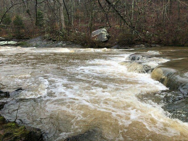
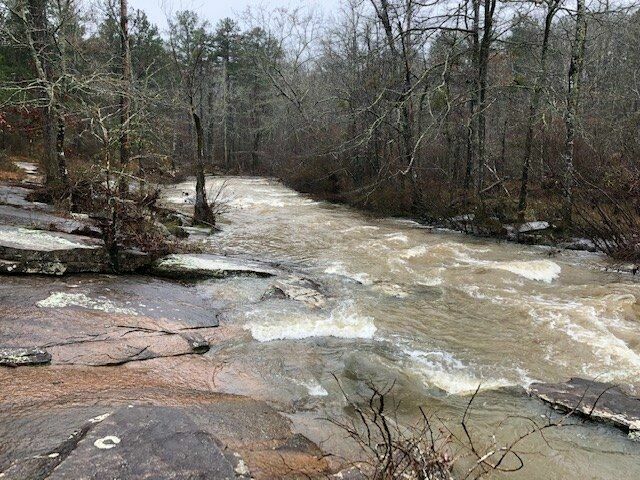
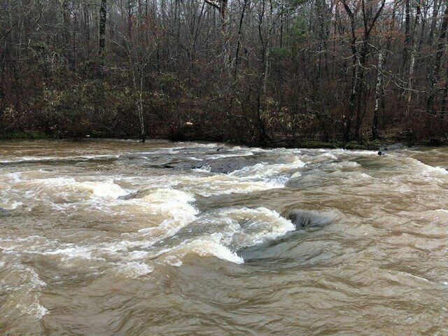
Parking available at Line Creek Nature Area. (previous info said to put in just above HWY 54 bridge, but this is now a dam). Shoulder boat into the nature area, turning right after the pond. Follow Mule Trail to the right and walk along the river to find a spot to put in. You can attain back up to the dam if you want to see it. . After putting in,there is flat water for about .3 miles. After those .3 miles, it gets fun with about .7 miles of II+ whitewater (one rapid is class II+/III- called Boof To Slides). Take out on the left after the last rapid and hike back up to the rapids or follow the trail up the rock slab trail to the right. Paddle across the lake and back for extra workout if wanted. Lots of birds and wildlife down there but private property on the right so don't get out on that bank
Difficulty
Class II+
Length
0.8 mi
Rapids
0
Access Points
Shuttle Info
Park at the Line Creek Nature Area. Shoulder boat into the nature area, turning right after the pond. Follow Mule Trail to the right and walk along the river to find a spot to put in. You can attain back up to the dam if you want to see it. Take out on the left after the last rapid and hike back up to the rapids or follow the trail up the rock slab trail to the right. Paddle across the lake and back for extra workout if wanted. Lots of birds and wildlife down there but private property on the right so don't get out on that bank.
Difficulty Classes
I Easy
II Novice
III Intermediate
IV Advanced
V Expert/Extreme
VI Unrunnable
Current Conditions
5-Day Forecast
Whitewater data from
American Whitewater
American Whitewater