Snoqualmie Falls to Fall City
Linked via: Proximity 98% confidence Synced 6mo ago
Gauge Conditions
Runnable: 300.0 – 4,000.0 CFS
Data from American Whitewater & USGS
Run Map
Run Time Estimate
Select put-in and take-out to estimate time.
Unlock Advanced Trip Planning
See wind-adjusted speed maps, forecast planning, and detailed time estimates.
Sign in to generate an AI timing estimate for this run.
Whitewater timing varies with scouting, portages, and group pace. Use as a planning baseline.
Description
The Snoqualmie River takes a spectacular plunge at Snoqualmie Falls where over 1 million tourists come each year to check out the view; paddlers come to enjoy some of the most convenient river segements for training and instruction. This is a great river for beginning paddlers learning the sport and a convenient spot for a quick boat demo. The river starts with a short 1 mile class II+ section of whitewater and then tapers off to class I downstream of Fall City. The river has dependable flow throughout most of the year.
The Snoqualmie River can be divided into different segments allowing paddlers to focus on a single segment or combination of segments best suited for the time available and skill of the group.
_Snoqualmie Falls Powerhouse to Plum's Landing, 1 mile, class II+_
The best rapid is on the river is on the upstream side of the powerhouse. A generous eddy here is well suited to group instruction, and otherwise known as the Training Pool. Once paddlers have had a few sessions on flatwater (availabe on the segments downstream of this one), this is a great place to begin learning in moving current. Paddlers start out on the eddy on river right and can then start practicing peel outs and ferry moves in one of a couple good jets. Over towards river left a fun surfing wave develops, the best on the river, that provides quick learners with a fun challenge. The nice thing about this section is that as long as the river is at medium flows or below it's fairly easy to collect up swimmers who miss their roll. Over the years Puget Sound Energy has made it more difficult to access the river upstream of the powerhouse in response to safety concerns from the Federal Energy Regulatory Commission that hikers were accessing the shoreline immediately below the emergency spillway at the base of Snoqualmie Falls.
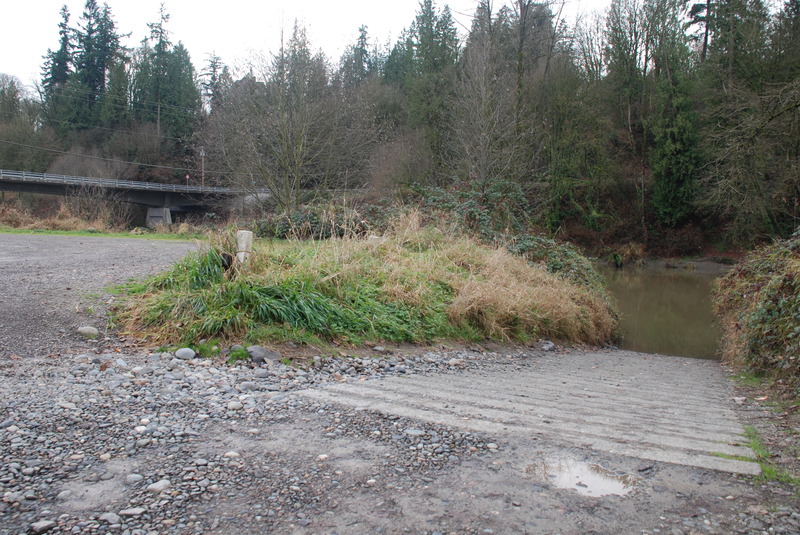
Continuing on downstream past the powerhouse the run enters a short section of more consistent gradient and sustained current. Pass by the powerhouse on the far side of the river on river left. When flows are low in the bypass reach upstream of the powerhouse many folks put in on the downstream side of the powerhouse which is the official public access. American Whitewater worked to design this access that is a series of rock steps (previously those wishing ot access the river had to climb over uneven and angular rip rap).
Between the powerhouse and the gaging station (the tower on river left), paddlers will find several good eddies that are particularly well suited to small group or individual instruction. Some of the best features here are over on river left. Continuing on downstream past the gaging station you can ferry over to river right and another big eddy with good beach access. Although this section doesn't have the power of the stronger jets upstream its still a good place to practice.
At the biggest drop on the run the river plunges over a sloping ledge that's fairly straightforward. A good eddy on river left provides a location where a group can gather. Next the river passes through a section of swift current before making a hard bend to the left at the confluence of Tokul Creek which enters from the right. Bedrock features at this corner create a couple of fun whirlpools and strong eddy lines.
_Plum Landing to Fall City, 3 miles, class II-_
From the Tokul Creek confluence the river transitions from whitewater to swift moving current with a few gravel bar riffles but nothing greater than class II-. This river segment is popular for tubing, canoeing, and paddle boarding, particularly in the summer. If you are using a paddleboard make sure not to use an ankle leash designed for flatwater which can be extremely difficult to release if it becomes snagged on a hazard in moving current; there have been fatalities and several close calls on this reach when paddleboarders have used an ankle leash inapprorpriate for moving water.
_Fall City to Neal Road, 3 miles, class I+_
This is a fantastic 3 mile section for new kayakers and stand up paddleboards. If you are using a paddleboard make sure not to use an ankle leash designed for flatwater which can be extremely difficult to release if it becomes snagged on a hazard in moving current. This river segment has been used over the past few years for Diversify Whitewater events to provide an opportunity for those who have minimal prior experience on moving water. Although 300 cfs is generally considered the low end for this segment it can be run lower.
_Neal Road to Snohomish River, 29 miles, class I_
You can continue on down to the Snohomish River confluence (40 miles from the Powerhouse) with several fishing access boat ramps along the way that provide public access (check the map for the run to see the locations).
Difficulty
Class II+
Length
7.2 mi
Gradient
15 ft/mi
Rapids
6
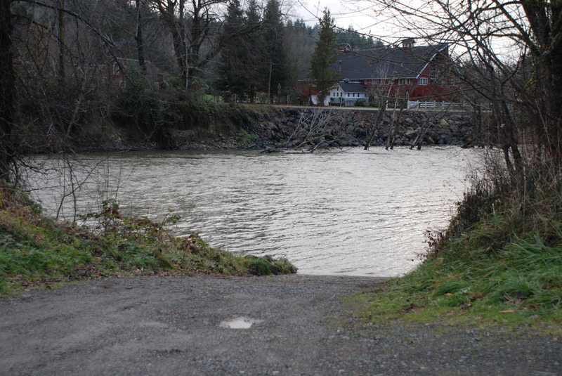
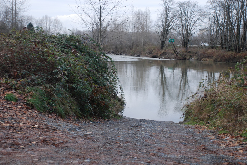
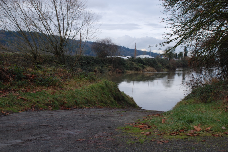
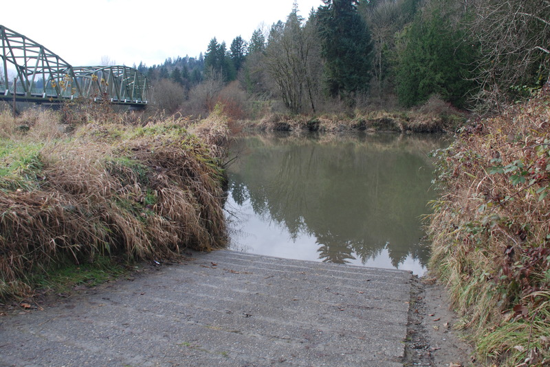
Access Points
Difficulty Classes
I Easy
II Novice
III Intermediate
IV Advanced
V Expert/Extreme
VI Unrunnable
Current Conditions
5-Day Forecast
Whitewater data from
American Whitewater
American Whitewater