Springfield Play Park (PnP or 5.1 miles)
Linked via: Nhdplus discovery 90% confidence Synced 6mo ago
Gauge Conditions
Runnable: ? – ? CFS
Approximate reading: This gauge is 0.1 miles away on Buck Creek. Use as a general reference only.
Data from American Whitewater & USGS
Run Map
Run Time Estimate
Select put-in and take-out to estimate time.
Unlock Advanced Trip Planning
See wind-adjusted speed maps, forecast planning, and detailed time estimates.
Sign in to generate an AI timing estimate for this run.
Whitewater timing varies with scouting, portages, and group pace. Use as a planning baseline.
Description
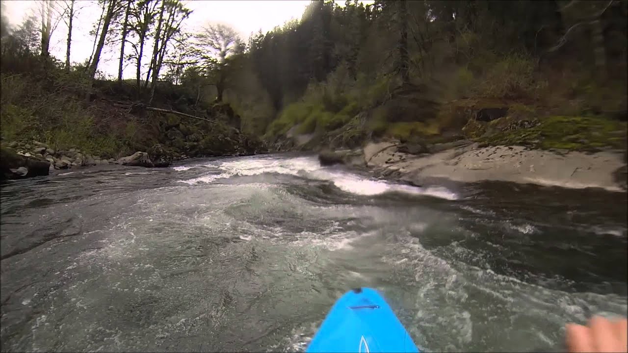
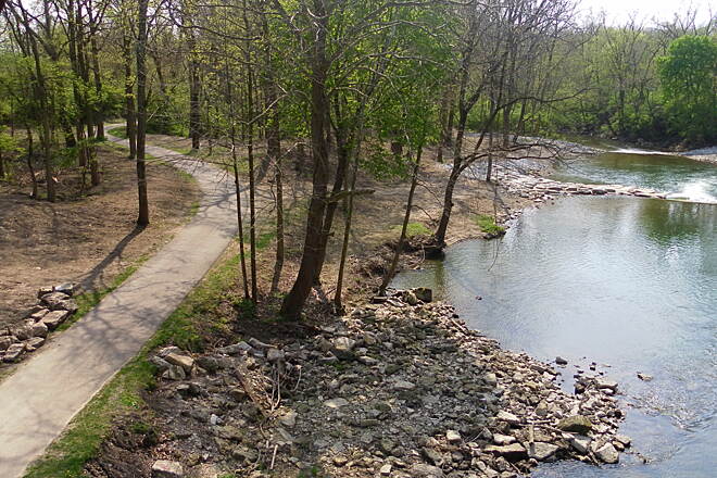
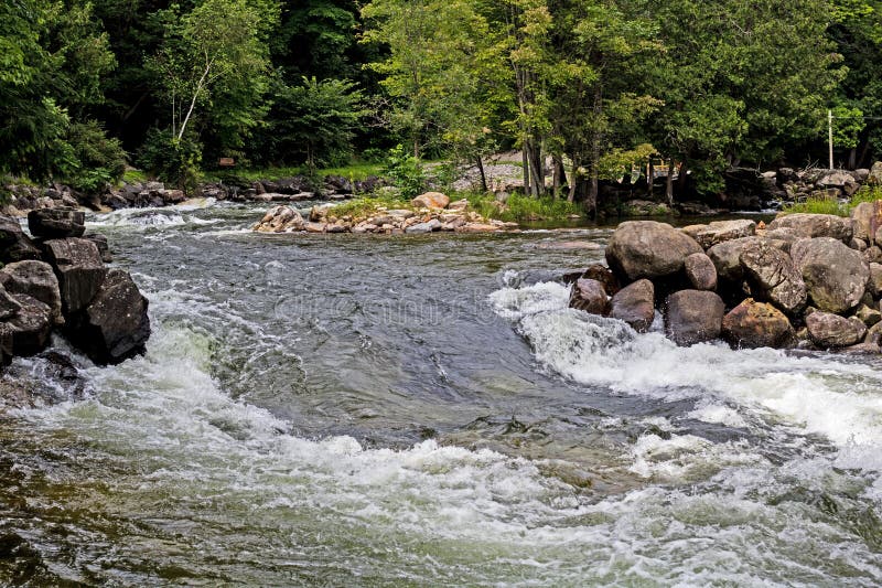
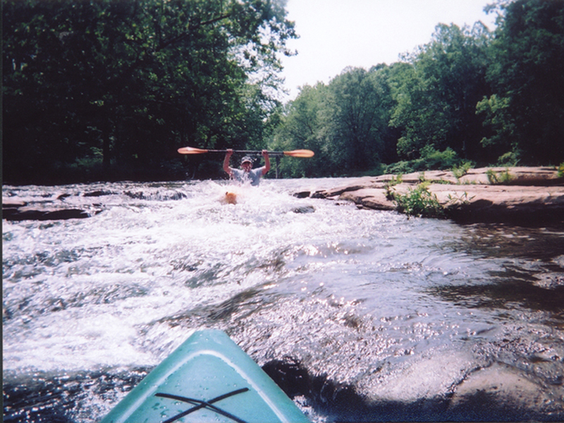
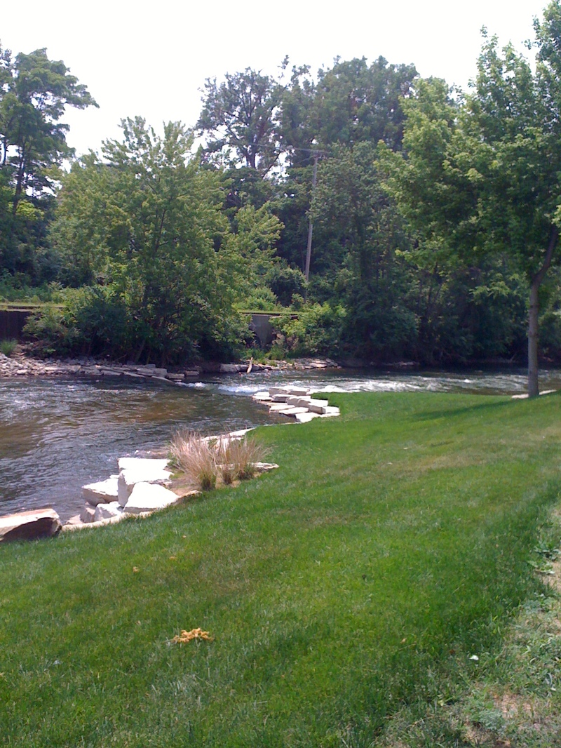
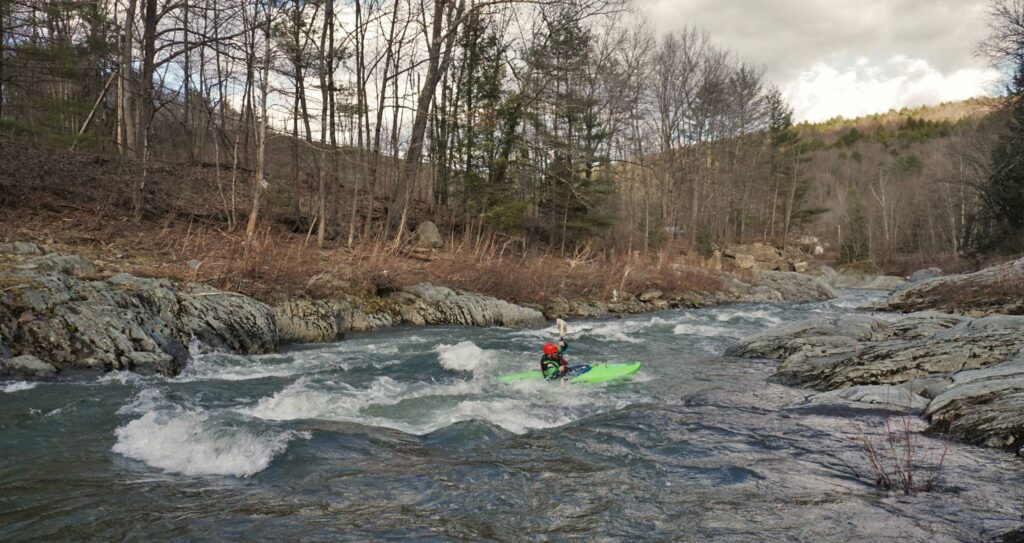
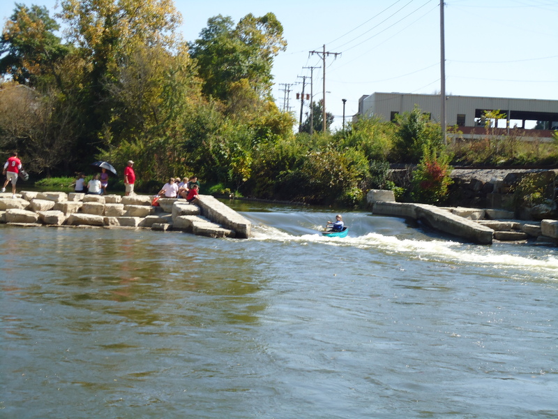
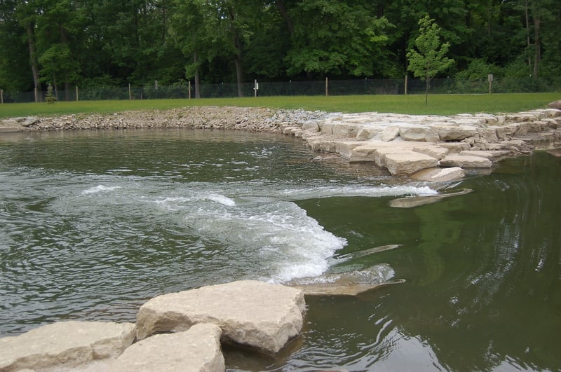
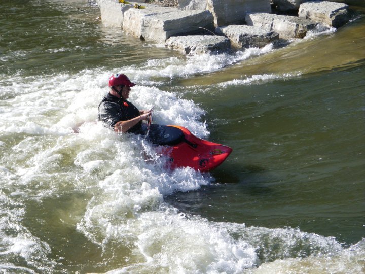
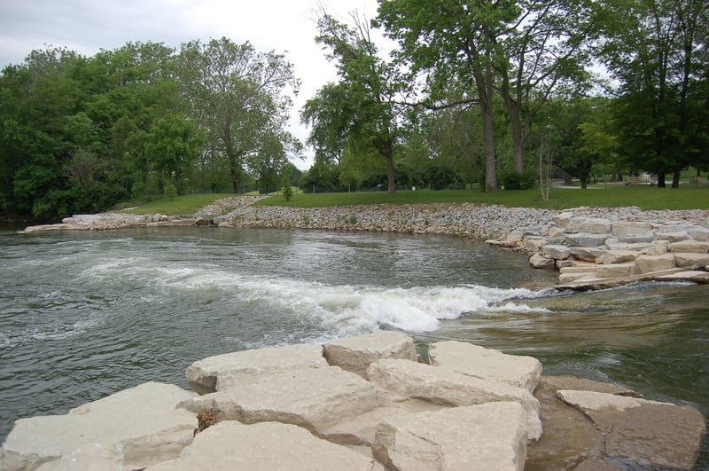
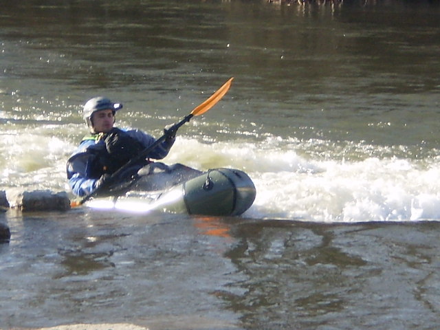
A fine just-over 5-mile run may be done from just downstream of the C.J.Brown Reservoir and dam. A few fine rapids are scattered along the run, with a fine finale as one gets to Snyder Park. The _Buck Creek White Water Project_ involved removal of a low-head dam directly behind the Springfield Museum of Art (in 2009) and removal of a second low-head dam on the east side of Snyder Park (in 2010). In their place, 'rock arch rapids' were engineered to create a whitewater park. Indeed, many boaters may prefer the convenience of skipping the need for a shuttle by just doing a PnP (park-and-play) at the park.
Nearby amenities:
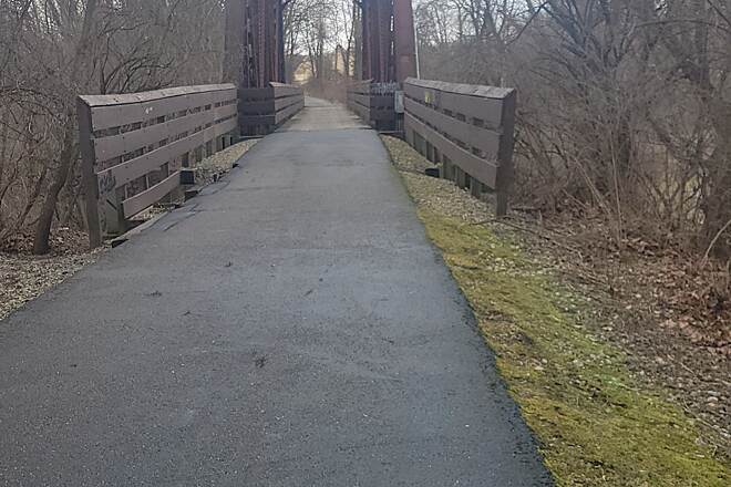
Buck Creek State Park
Buck Creek Trail
Rapids in this Run (10)
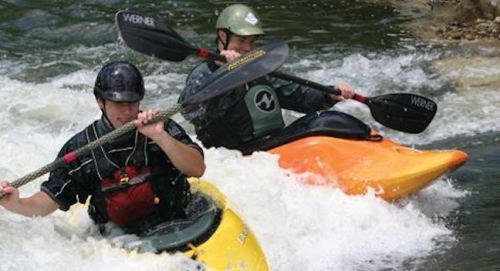
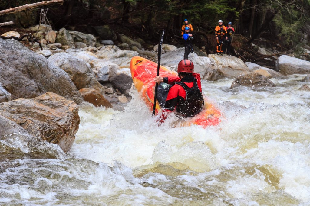

Difficulty
Class II(III)
Length
5.1 mi
Gradient
10 ft/mi
Rapids
10
Access Points
Shuttle Info
Many folks do this an in-town park-and-play, carrying to the river and carry back to their car within the park.
The directions below are for the full run. You can also use the text-entry box to input your home or other starting location to get drive time, distance, and directions to this location.
Difficulty Classes
I Easy
II Novice
III Intermediate
IV Advanced
V Expert/Extreme
VI Unrunnable
Current Conditions
5-Day Forecast
Whitewater data from
American Whitewater
American Whitewater