Sycolin Road Bridge to Kephart Bridge Landing (& the Potomac)
Linked via: Nhdplus discovery 90% confidence Synced 6mo ago
Gauge Conditions
Runnable: 2.0 – 4.0 FT
Data from American Whitewater & USGS
Run Map
Run Time Estimate
Select put-in and take-out to estimate time.
Unlock Advanced Trip Planning
See wind-adjusted speed maps, forecast planning, and detailed time estimates.
Sign in to generate an AI timing estimate for this run.
Whitewater timing varies with scouting, portages, and group pace. Use as a planning baseline.
Description
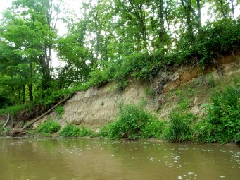
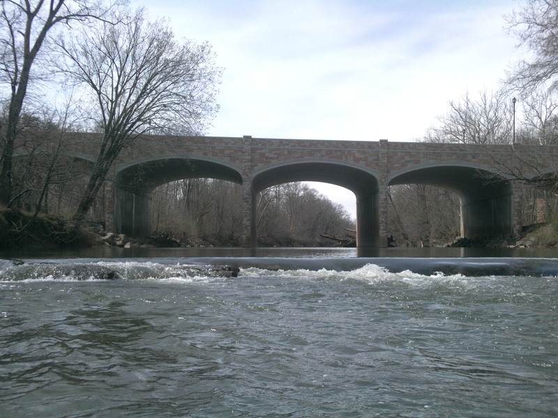
Overview: Since 2018, local paddlers put in at Sycolin Road (SR 643) Bridge and do a 5.3 mile run to Kephart Bridge Landing, itself 1 mile upstream of the Potomac.
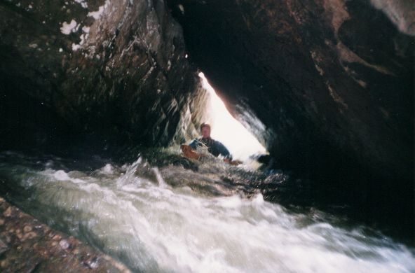
From Sycolin Road paddle 1.4 miles down the Fairfax Reservoir, portage right around the 20-foot dam and descend three easy Cl. 1+ rapids and rock-gardens for 1.2 miles to the Washington and Old Dominion bike trail bridge and Sycolin Creek put-in. From here it's 1.4 miles past Cookes Mill/Golfcourse Rapid (Cl. II+, III) to Keep Loudoun Beautiful Park (P.I./T.O.) just above Va Rte 7. Another 1.3 miles to Clapham Falls Rapid and the Kephart Bridge Landing take-out.
See Also:
_Classic Virginia Rivers,_ Ed Grove (1992 ed), p. 102.
_Virginia Whitewater_, Roger Corbett (2000 ed.), p. 45.
_Exploring Virginia's Waterways_, Ed Gertler (2022 ed.), p. 31.
Rapids in this Run (3)
Playspots (3)
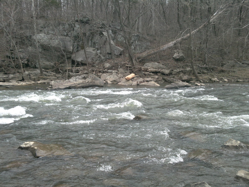
Hazards & Portages (1)
Caution: The following locations may require scouting or portaging. Always check current conditions.
Difficulty
Class I-II(III)
Length
5.3 mi
Gradient
9 ft/mi
Rapids
3
1 Portage
Access Points
Shuttle Info
[Click for Map and Directions](http://maps.google.com/maps?f=d&source=s_d&saddr=Belmont+Ridge+Rd+N%2FState+Route+659&daddr=Unknown+road&hl=en&geocode=FTQSVAIdfkdh-w%3BFXCYVAId_oZh-w&mra=ls&sll=39.0813,-77.501385&sspn=0.043041,0.104628&ie=UTF8&t=h&z=14)
Please note that the "put in" on the map that is automatically generated for American Whitewater is the parking lot on the W&OD trail at Belmont Ridge Road. The actual river put-in is clearly marked on the river map on Sycolin Creek.
Difficulty Classes
I Easy
II Novice
III Intermediate
IV Advanced
V Expert/Extreme
VI Unrunnable
Current Conditions
5-Day Forecast
Whitewater data from
American Whitewater
American Whitewater