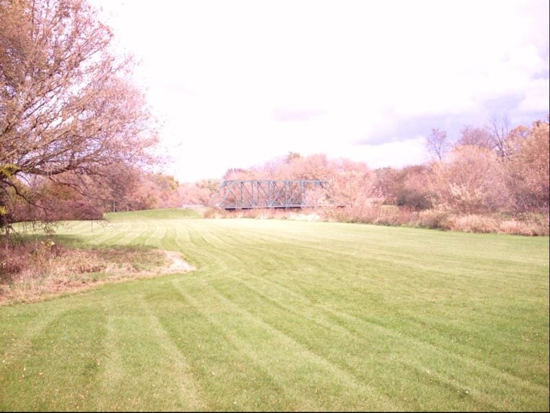
to Hwy.86
Linked via: Proximity 100% confidence Synced 6mo ago
Gauge Conditions
Runnable: ? – ? CFS
Approximate reading: This gauge is 2.7 miles away on Kellogg Creek. Use as a general reference only.
Data from American Whitewater & USGS
Run Map
Run Time Estimate
Select put-in and take-out to estimate time.
Unlock Advanced Trip Planning
See wind-adjusted speed maps, forecast planning, and detailed time estimates.
Sign in to generate an AI timing estimate for this run.
Whitewater timing varies with scouting, portages, and group pace. Use as a planning baseline.
Description
Grand River Tributary (flows into Paine Ck)
Latitude/longitude coordinates are approximate.
(The following is NOT from first-hand knowledge, but from online investigation.)
From the topo maps, it is hard to rationalize the IV rating. Best I can tell, at Morely Road (41.6865, -81.2593) the river is at 690' elevation. At Hwy.86 (Painesville Warren Road) it is at 610'. That spans more than the two miles claimed by the reach, and appears to be no more than 80' of drop in more than three miles of river. Again, best I can tell, there is no more than 50' of drop in the final 2 miles. Barring unusual circumstances, the apparent 25-30 feet per mile hardly seems likely to equate to a class IV run overall.
That notwithstanding, to the admittedly less-than-perfect analysis available via GoogleMaps (and it's level of detail and resolution coupled with a bit of imagination), there does appear to be some fairly decent rapids.
We would welcome a more detailed contribution from someone familiar with this run.
Rapids in this Run (1)
Difficulty
Class IV
Length
3.3 mi
Rapids
1
Access Points
Difficulty Classes
I Easy
II Novice
III Intermediate
IV Advanced
V Expert/Extreme
VI Unrunnable
Current Conditions
5-Day Forecast
Whitewater data from
American Whitewater
American Whitewater