Unnamed Road to Big Bay Road (5.62 miles)
Linked via: Proximity 96% confidence Synced 6mo ago
Gauge Conditions
Primary
Runnable: 180.0 – 600.0 CFS
Almost certainly too low for whitewater run.
Data from American Whitewater & USGS
Run Map
Run Time Estimate
Select put-in and take-out to estimate time.
Unlock Advanced Trip Planning
See wind-adjusted speed maps, forecast planning, and detailed time estimates.
Sign in to generate an AI timing estimate for this run.
Whitewater timing varies with scouting, portages, and group pace. Use as a planning baseline.
Description
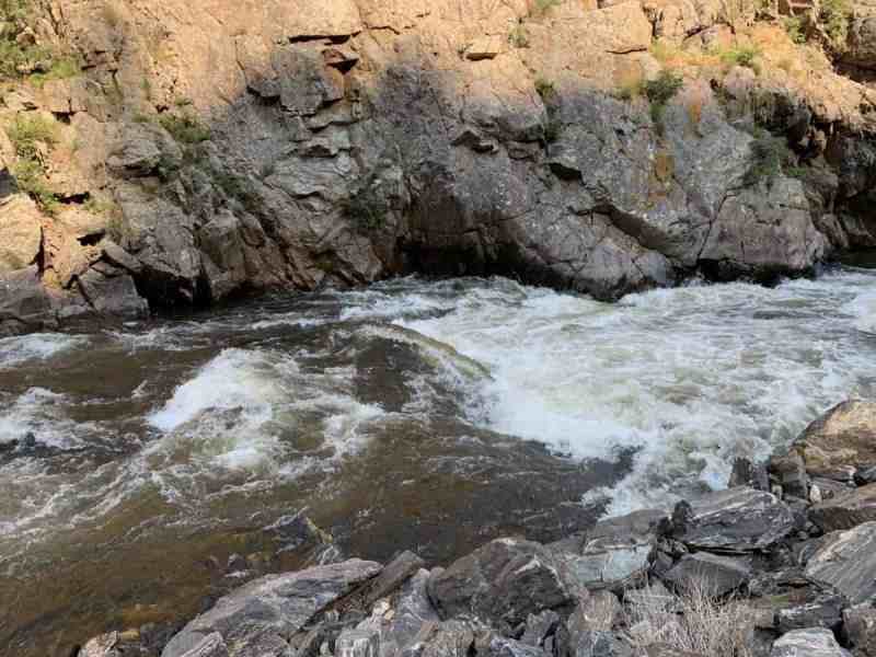
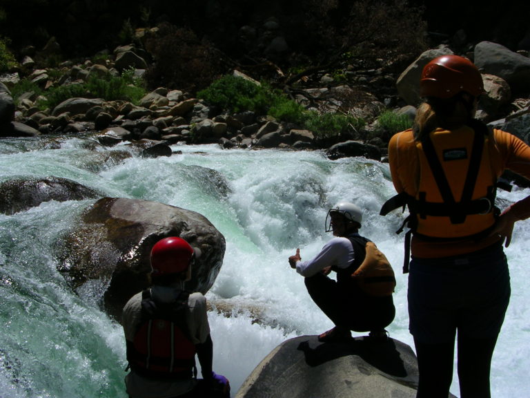
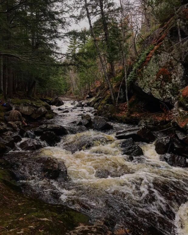
With its sister river, the _Big Garlic_, right nearby, one would expect the _Little Garlic_ might be substantially smaller. However, former USGS sampling locations for each show drainages to be (surprisingly) substantially the same! (Both are right aroung 15 square miles at or below Big Bay Road / 550.) The Big Garlic may have fewer branches, thus perhaps keeping more drainage area further up its watershed (to its listed put-in point), but photos of the falls on the Little Garlic look interesting! Still, we suspect this (like its sister run) is likely to be something folks may do once (to see and experience its falls), but say "Never again".
Have a look at Little Garlic Falls at Waterfalls of the Keweenaw.
Difficulty
Class II-IV
Length
4.8 mi
Gradient
52 ft/mi
max 90
Rapids
10
Access Points
Shuttle Info
At times of year when this river has adequater water, part (or all?) of this 'shuttle' will likely be on foot, carrying/dragging boat in to your chosen access point.
Difficulty Classes
I Easy
II Novice
III Intermediate
IV Advanced
V Expert/Extreme
VI Unrunnable
Current Conditions
5-Day Forecast
Whitewater data from
American Whitewater
American Whitewater