Upper Lamprey Recreational
Linked via: Proximity 96% confidence Synced 6mo ago
Gauge Conditions
Runnable: ? – ? CFS
Approximate reading: This gauge is 7.7 miles away on Lamprey. Use as a general reference only.
Data from American Whitewater & USGS
Run Map
Put-in
Take-out
Rapids/Hazards
Recreational
Run Time Estimate
Select put-in and take-out to estimate time.
Unlock Advanced Trip Planning
See wind-adjusted speed maps, forecast planning, and detailed time estimates.
Sign in to generate an AI timing estimate for this run.
Whitewater timing varies with scouting, portages, and group pace. Use as a planning baseline.
Description
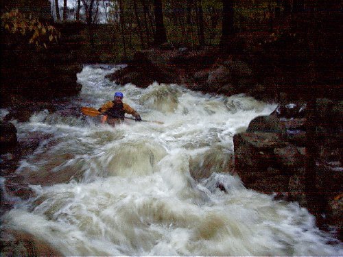
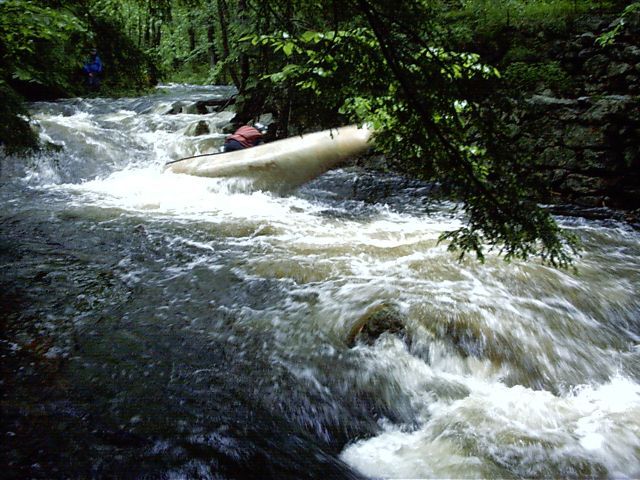
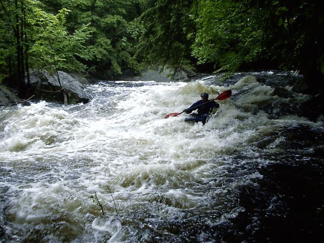
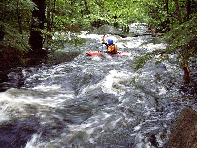
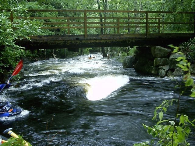
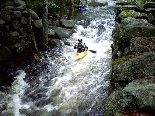
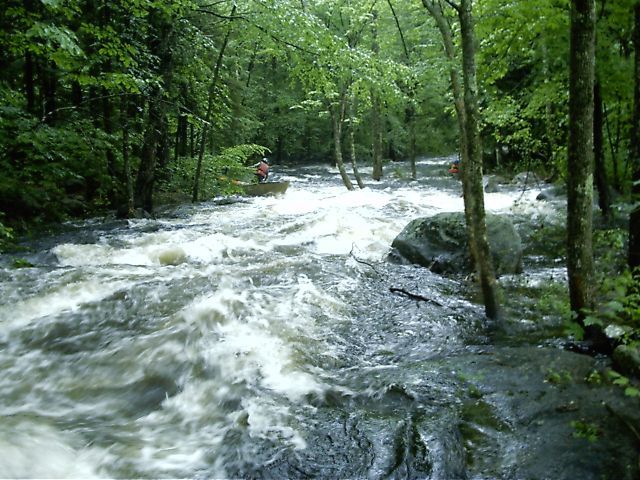
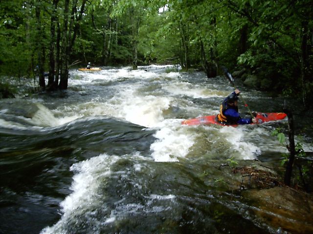
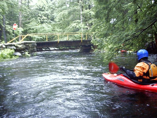
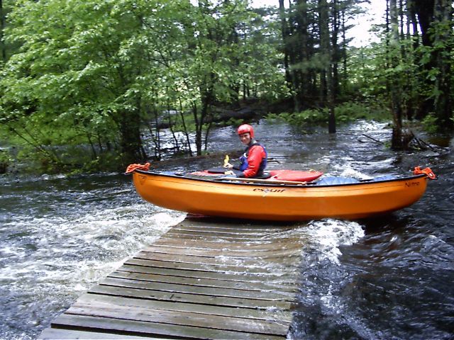
The Upper Section of the Lamprey River is a delightful class III/IV creek located in south-central New Hampshire. It's close location allows for short-notice paddling after work on weekdays. Be aware that the river rises and falls quickly with rain so one must act fast to catch it up. Additionally care
is required because of strainers which can be plentyful on narrow creeks thru
the woods like this.
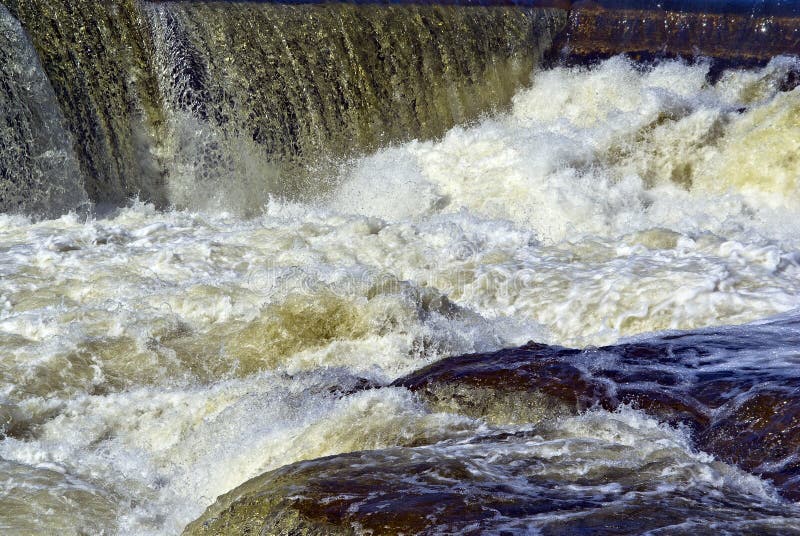
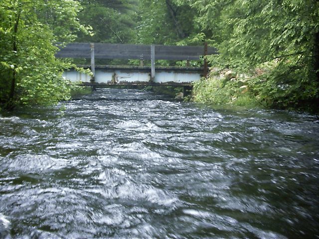
There are six major drops on this section of the Lamprey; the majority of them class IV. In between the river varies from quickwater to class II/III.
A typical run takes one and a half to two hours.
### Directions
The whitewater section of the Lamprey is located in Deerfield, NH (just northwest of Raymond, and about halfway between Manchester and Rochester). It's
about a 20-25 minute drive from Manchester.
From Manchester take route 101 east to exit 3. Follow route 43 north to the takeout at the southern juncture of routes 43 and 107.
From Portsmouth take Route 101 west to exit 5. Take route 102 north then route
107 west to the takeout at the juncture of routes 43 and 107.
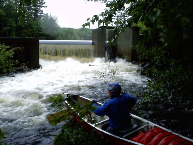
The put-in is about three-and-one-quarter miles north on 43/107 where the road
crosses over the river where Lamprey exits the dam on Freeses Pond.
A second put-in is at the first major drop; 0.6 miles south just off 43/107,
where James City Road (also called Nottingham Road) crosses over the river.
Rapids in this Run (9)
Hazards & Portages (5)
Caution: The following locations may require scouting or portaging. Always check current conditions.
Difficulty
Class IV
Length
3.9 mi
Gradient
49 ft/mi
max 86
Rapids
9
5 Hazards
Access Points
Difficulty Classes
I Easy
II Novice
III Intermediate
IV Advanced
V Expert/Extreme
VI Unrunnable
Current Conditions
5-Day Forecast
Whitewater data from
American Whitewater
American Whitewater