USFS Road 86B to Overflow Creek Road Bridge
Linked via: Nhdplus discovery 90% confidence Synced 6mo ago
Gauge Conditions
Runnable: 2.0 – 4.0 FT
A good correlation for Overflow is to take the Burrell's Ford Chatt. reading and subtract 1.0 ft to get the Overflow level in feet at the takeout.
Data from American Whitewater & USGS
Run Map
Description
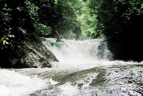
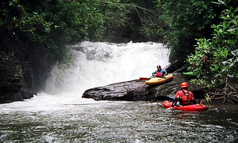
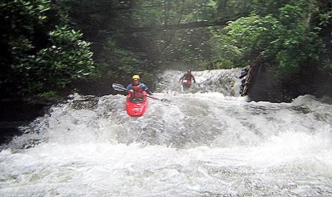
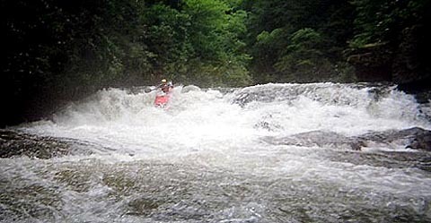
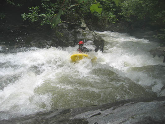
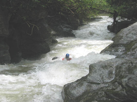
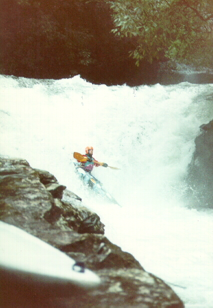
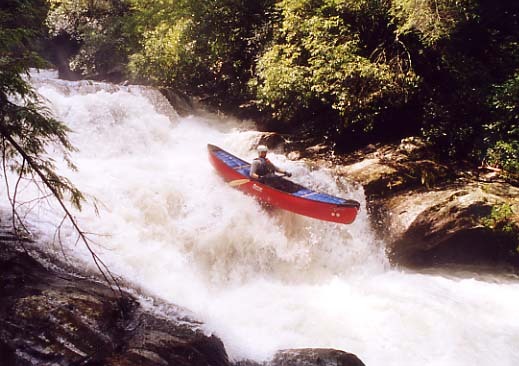
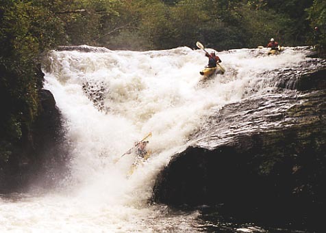
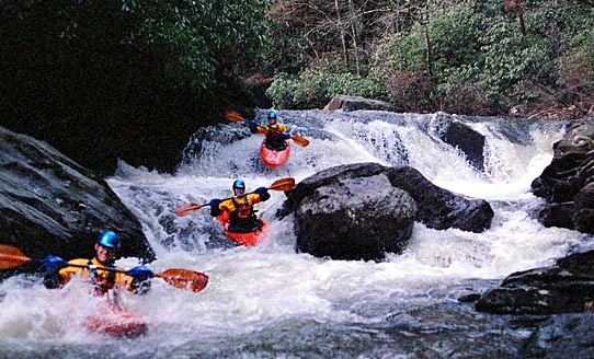
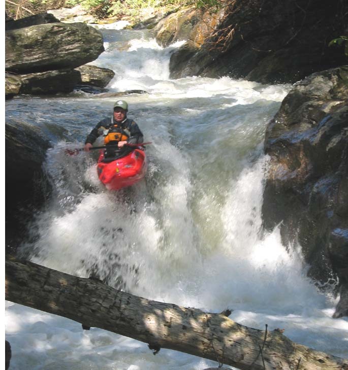
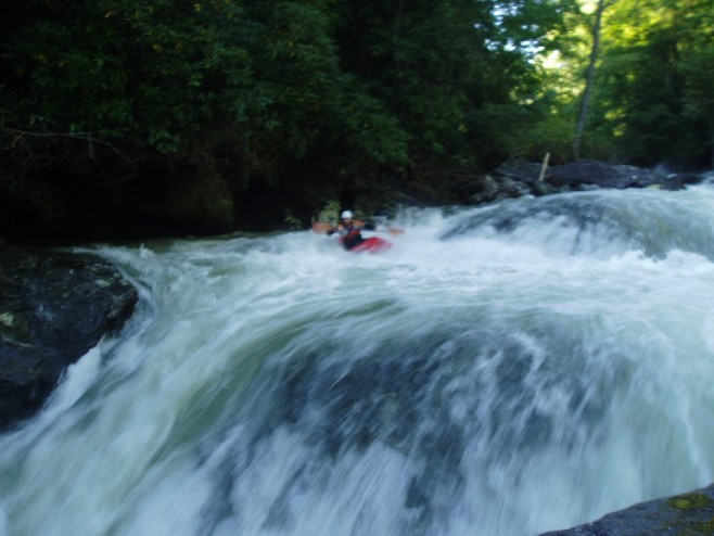
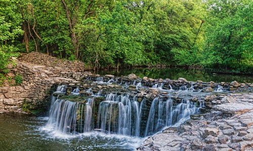
Overflow Creek is a beautiful stream in the upper West Fork of the Chattooga watershed, originating in the Osage Mtn. and Blue Valley Overlook areas seen from Hwy 106 near Highlands, N.C. It is a fairly difficult Class IV-V(V+) creek with some big drops and beautiful scenery. The difficulty level increases with higher water, becoming pushy with large holes.
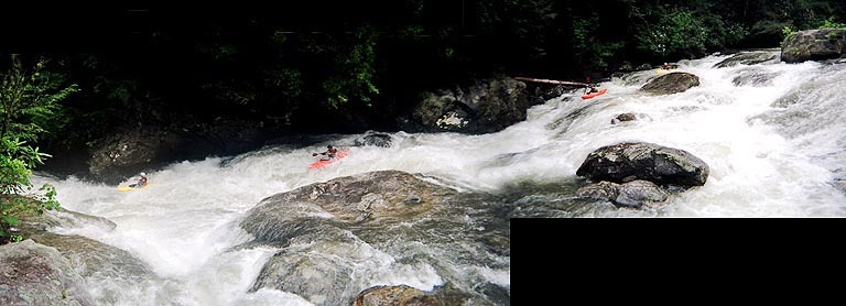
Overflow is narrow below the putin and there are often many trees and limbs in the river,so be vigilant after a major rain event for new wood. The first 1.5 miles are low-volume Class II-III before Clear Creek comes in on the left and adds flow and width. Volume picks up considerably again at Three Forks (where Holcomb, Big and Overflow Creeks converge and become the West Fork of the Chattooga) - this is an exceptionally beautiful area. There are many sizeable rapids, such as Hemlock Falls, First Fall or "Pee Wee", Roundabout, Blind Falls, Gravity Falls, Singley's Falls, Marginal Monster, Pinball and Swiss Cheese. The "Big Three" in difficulty are considered to be Gravity, Marginal and Pinball - though Singley's Falls has the greatest verticality (but not as demanding). Technically, the West Fork of the Chattooga begins at Three Forks, where Wild and Scenic protection is also extended 1/4 mile in all directions from the river. The Three-Forks trail begins about halfway up the shuttle road on the right, marked by a large engraved boulder - this trail will meet the river near Swiss Cheese, with a spur going off left to Holcomb Cr. It also continues West to Rabun Bald's summit.
Take-out and Put-In are easily accessed by Forest Service Rd. 86-B and 86 which is now signed as "Overflow Creek Road" off of Warwoman Rd which either ends or begins on Hwy 28 depending on where you're driving from. Warwoman Rd has it's other end in Clayton GA by the Burger King.
From the take-out bridge, drive up 7.0 miles bearing right twice along the way to the Put-In - just past a culvert, with a short trail descending after the berm. The gravel road will cross a sizeable creek about halfway up,this is not Overflow, it is Holcomb Creek - it's a popular camping spot, so slow down a bit here. The gauge is located on river right underneath the take-out bridge on a piling support; a little goat-path leads to it. Be sure to park at take-out and put-in with enough room for other vehicles to pass. I have never heard of any break-in problems here, though we once found the burnt-out shell of a stolen truck. The placid stretch below the takeout bridge occasionally sees trout-fishing activity, though in 14 years of paddling Overflow we have yet to ever encounter anyone fishing above it at boatable flows.
Overflow has a rich history in the evolution of steep creeking in the Southeast beginning with Alan Singley's solo first descent in 1978, and has been a touchstone of many a southern creekboater, so much so that Perception named a creekboat after this creek. Footage appears in many videos, most famously in Wayne Gentry's iconic debut effort "Southern Fried Creeking" and is well documented in video clips.. Use the Burrell's Ford level guide (subtract 1.0 ft from this reading to approximate Overflow's level) and the AFWS rain gauge for Highlands to determine if it's running, which can be an art as much as a science sometimes.
Overflow runs off faster than in the past, due to clearcutting in the watershed according to Clemson forestry students. Several Overflow veterans believe the gauge area was scoured by hurricane floods in 2004 and now reads about 0.1-0.2 lower than in the past.
The Highlands Biological Station used to be a reliable source of up-to-the-hour rain gauging, but they no longer give this info by phone.
Rapids in this Run (3)
Waterfalls (14)
 Waterfall
Put-In Rapid
 Waterfall
Hemlock Falls
 Waterfall
First Fall or "Pee Wee"
 Waterfall
Roundabout - Top
 Waterfall
Roundabout - Bottom
 Waterfall
Blind Falls
 Waterfall
Gravity
 Waterfall
Alan Singley's Falls
 Waterfall
Singley's Slot
 Waterfall
Twilight
 Waterfall
Marginal Monster
 Waterfall
Little 7-Foot
 Waterfall
Pinball
 Waterfall
Swiss Cheese
Hazards & Portages (9)
Caution: The following locations may require scouting or portaging. Always check current conditions.
Difficulty
Class IV-V(V+)
Length
4.9 mi
Gradient
124 ft/mi
max 320
Rapids
3
9 Hazards
Access Points
Difficulty Classes
I Easy
II Novice
III Intermediate
IV Advanced
V Expert/Extreme
VI Unrunnable
Current Conditions
5-Day Forecast
Whitewater data from
American Whitewater
American Whitewater