Wimer Road to Diamond Falls
Linked via: Nhdplus discovery 90% confidence Synced 3mo ago
Gauge Conditions
Runnable: ? – ? CFS
Approximate reading: This gauge is 15.5 miles away on Diamond Creek. Use as a general reference only.
Data from American Whitewater & USGS
Run Map
Description
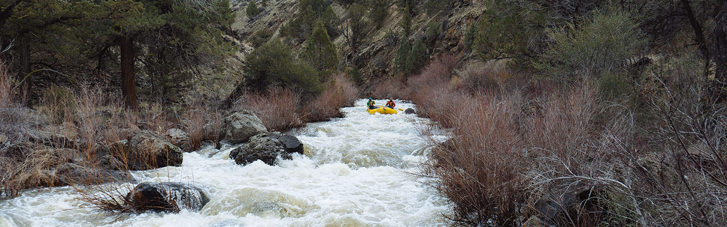
Starting in Oregon and flowing promptly into California, the North Fork of Diamond Creek offers a 2.5-mile upstream add-on to the Diamond Creek run (which itself is an add-on to the North Fork Smith run down to Gasquet). The run features bedrock slides and boulder drops and culminates at Diamond Falls. It's too much of an effort to get to the North Fork Diamond to simply end the run at Diamond Falls, so continue on through the 4.1 miles on Diamond Creek and the additional 13.5 miles on the North Fork Smith for a toal of 20 miles of boating to take out in Gasquet.
Rapids in this Run (1)
Difficulty
Class IV(V)
Length
2.5 mi
Rapids
1
Access Points
Difficulty Classes
I Easy
II Novice
III Intermediate
IV Advanced
V Expert/Extreme
VI Unrunnable
Current Conditions
5-Day Forecast
Whitewater data from
American Whitewater
American Whitewater