NOAA Tidal Stations in South Carolina
Real-time tide data, water levels, and predictions from coastal stations
247
Total Stations
1
States/Territories
216
With Tide Predictions
2
With Water Temp
Loading...
Captain Alex's Marina, Parsonage Creek
Tide Predictions
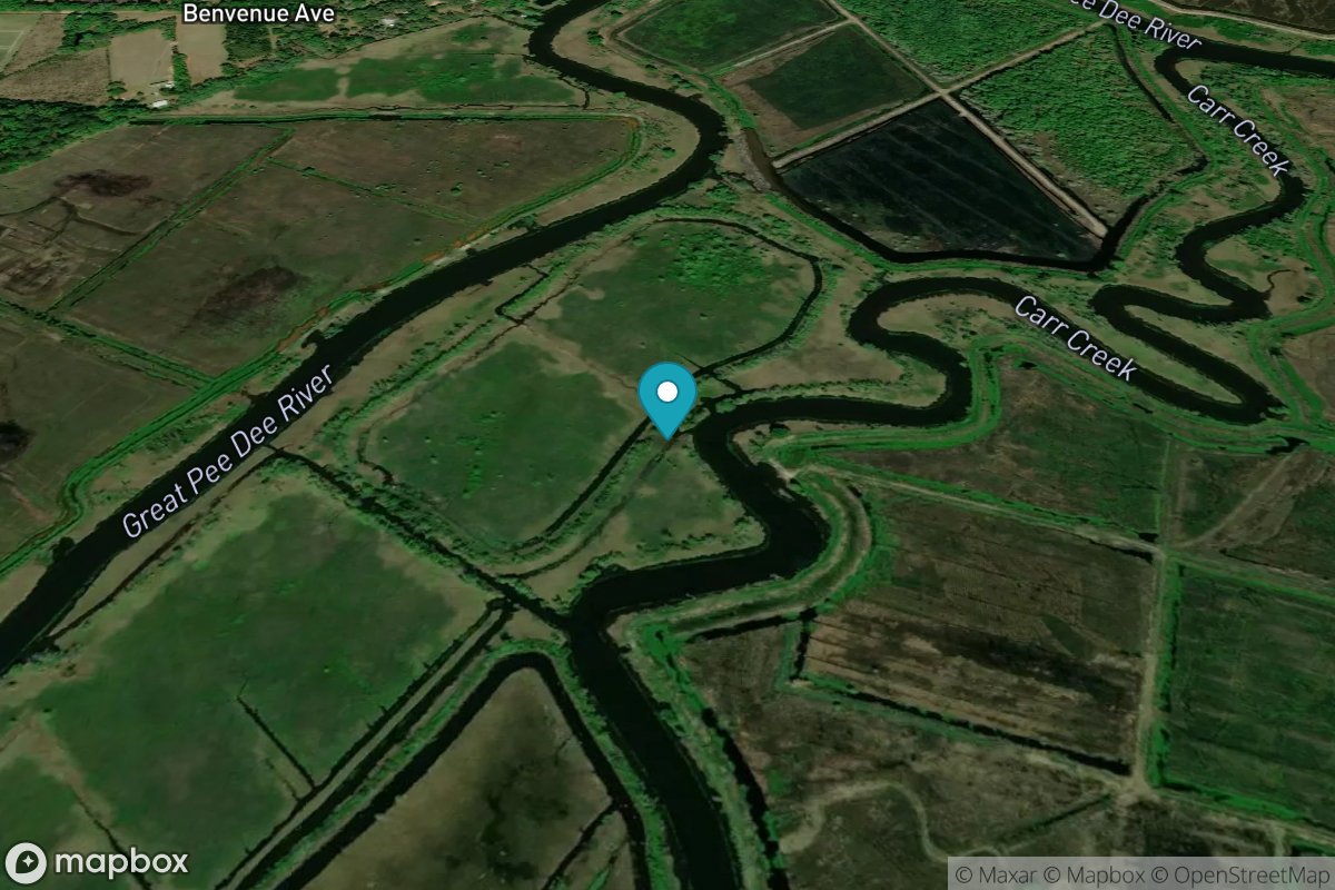
Carr Creek, 1 mile above entrance
Tide Predictions
Carters Dock, Big Bay Creek
Tide Predictions
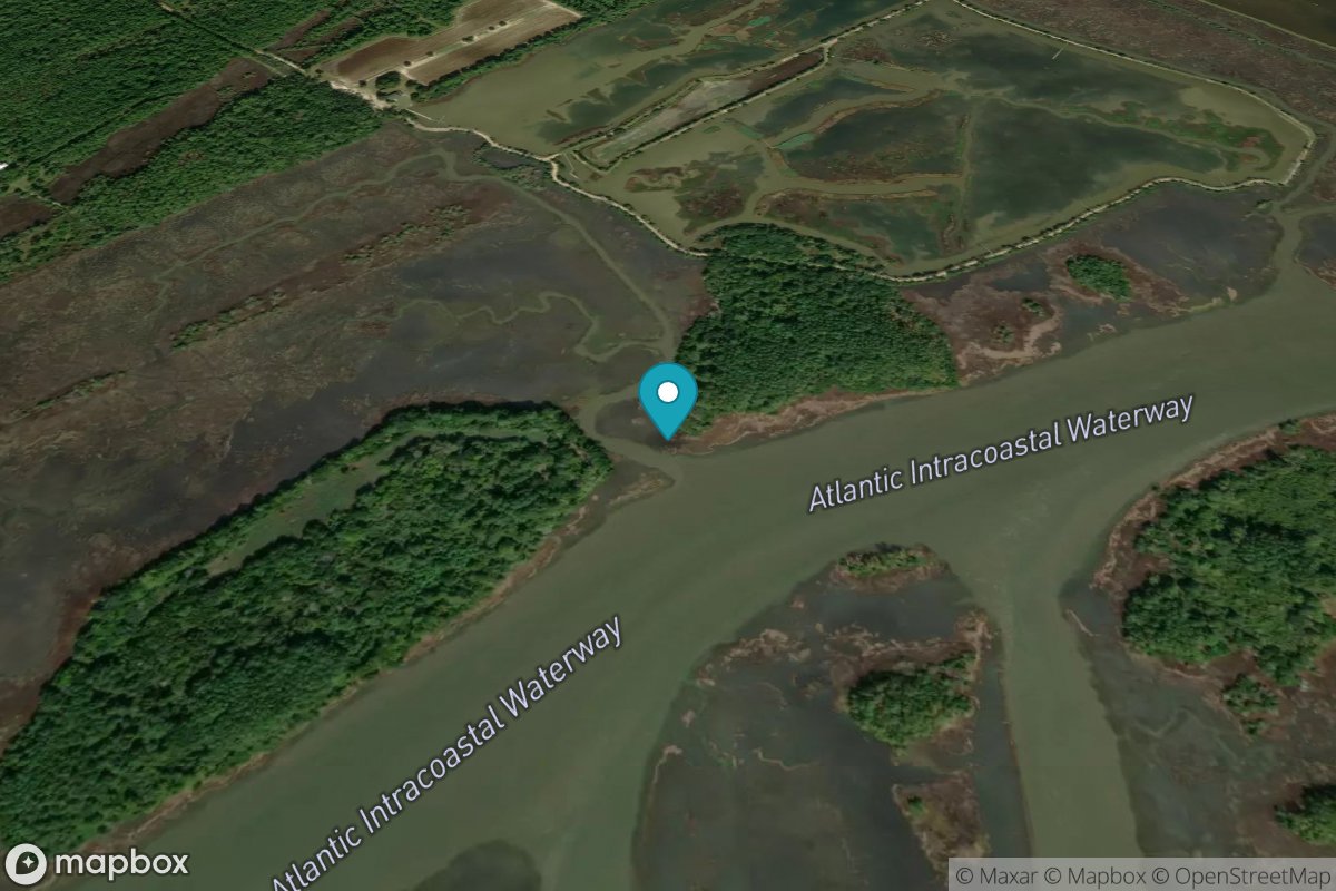
Casino Creek, ICWW
Tide Predictions
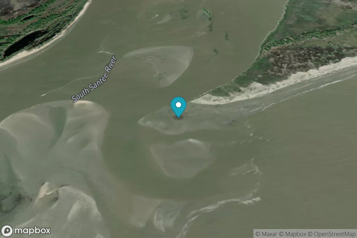
Cedar Island Point, South Santee River
Tide Predictions
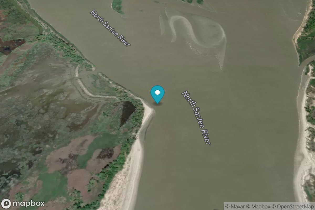
Cedar Island, North Santee Bay
Tide Predictions
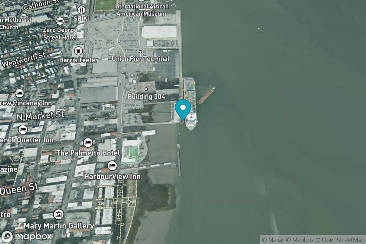
Charleston
Tide Predictions
Water Temp
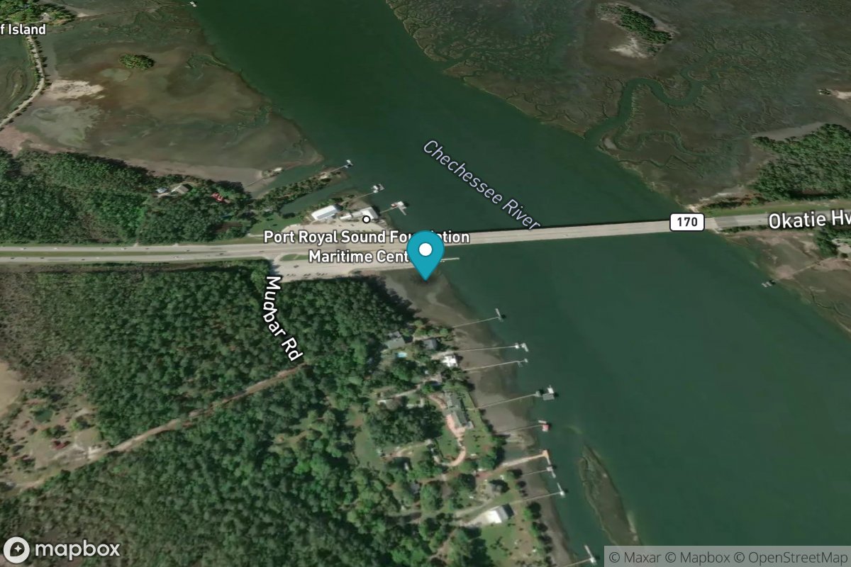
Chechessee Bluff, Chechessee River
Tide Predictions
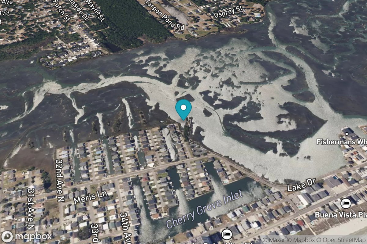
Cherry Grove (inside)
Tide Predictions
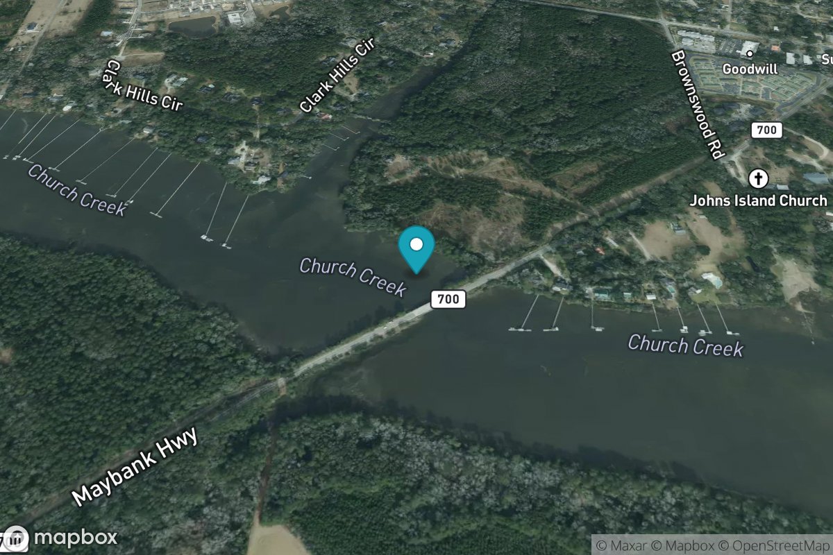
Church Creek bridge
Tide Predictions
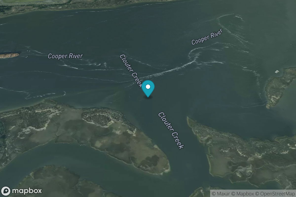
Clouter Creek, north entrance
Tide Predictions
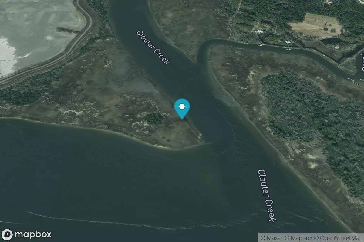
Clouter Creek, south entrance
Tide Predictions
Club Bridge Creek ent., Trenchards Inlet
Tide Predictions
Colleton River Entrance
Tide Predictions
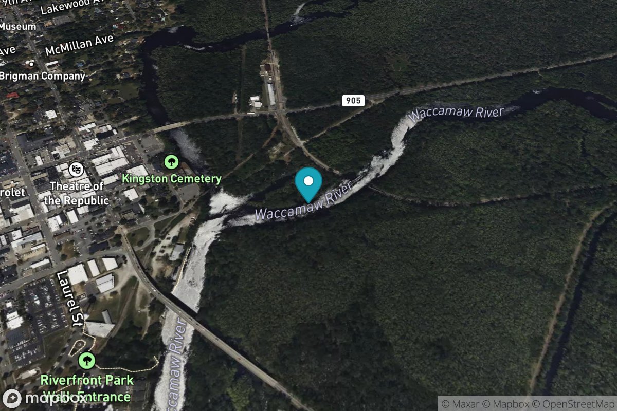
Conway, RR. bridge
Tide Predictions
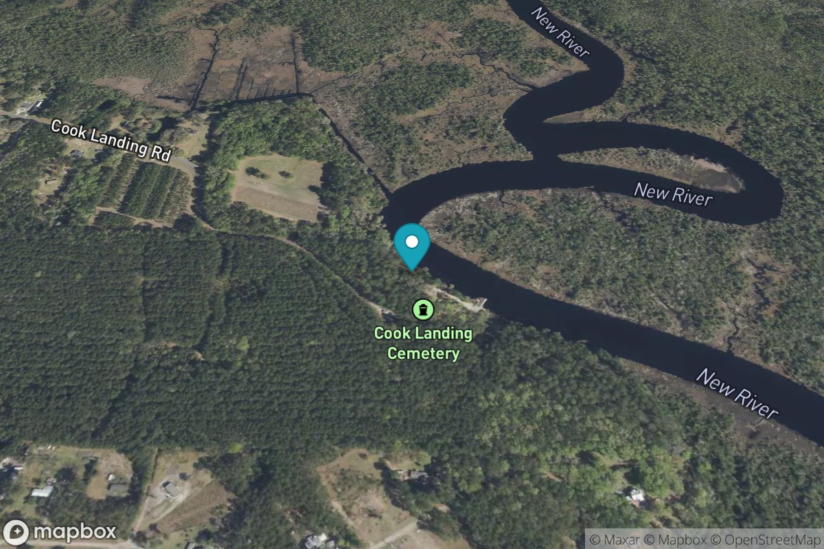
Cook Landing Cemetery
Tide Predictions
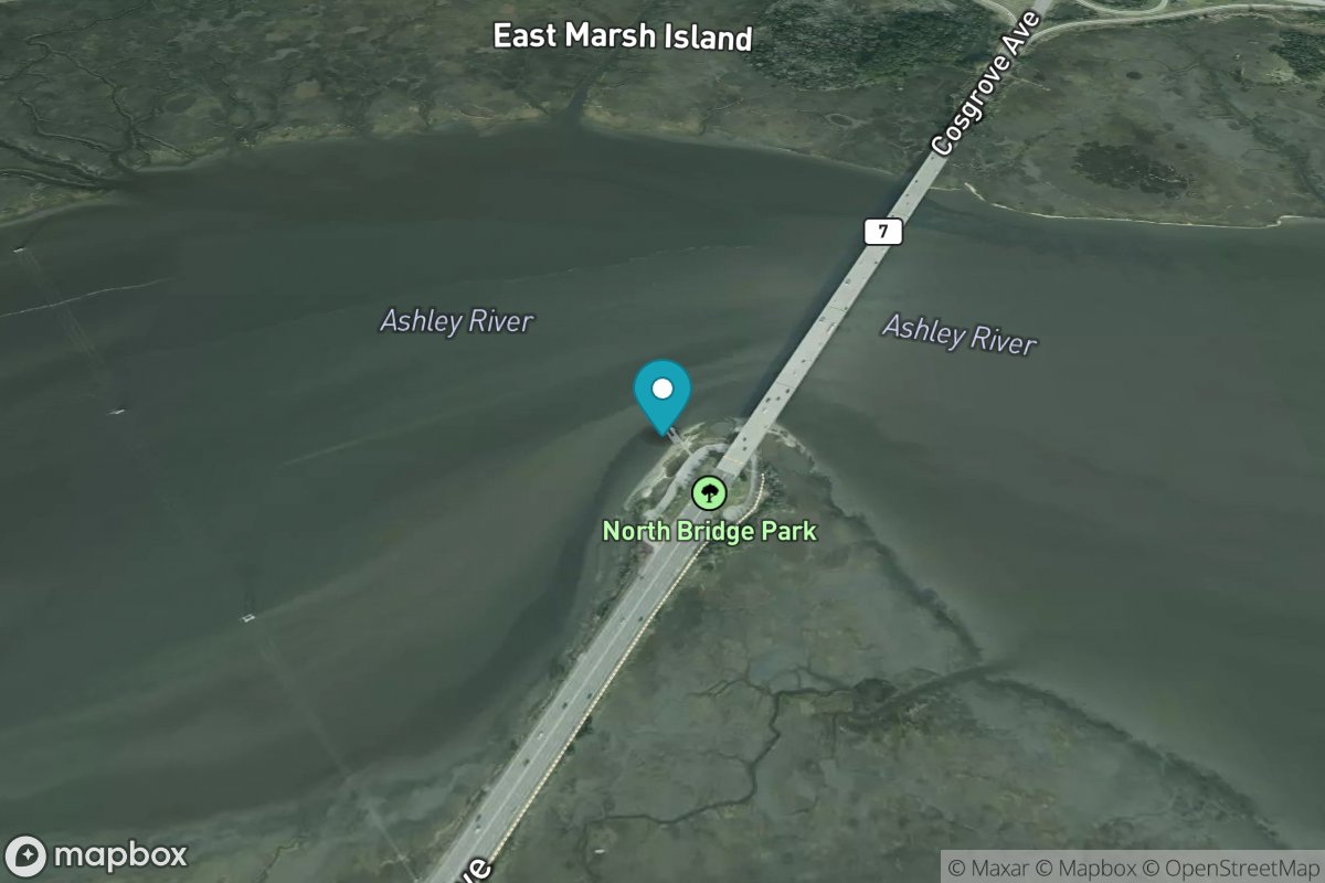
Cosgrove Bridge
Tide Predictions
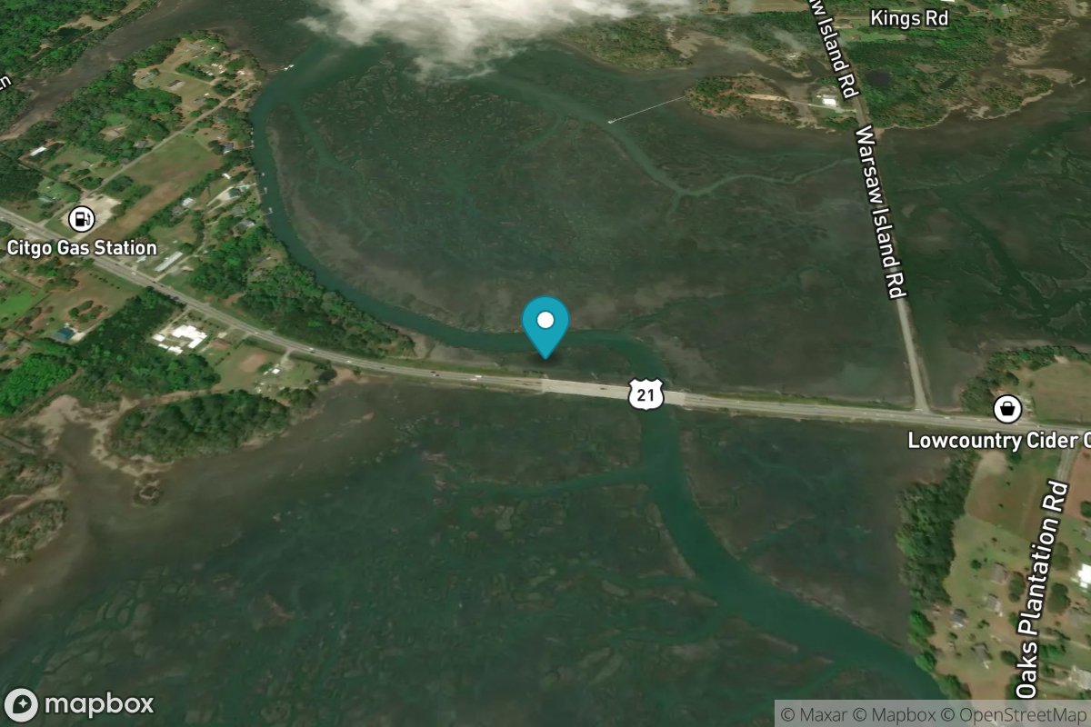
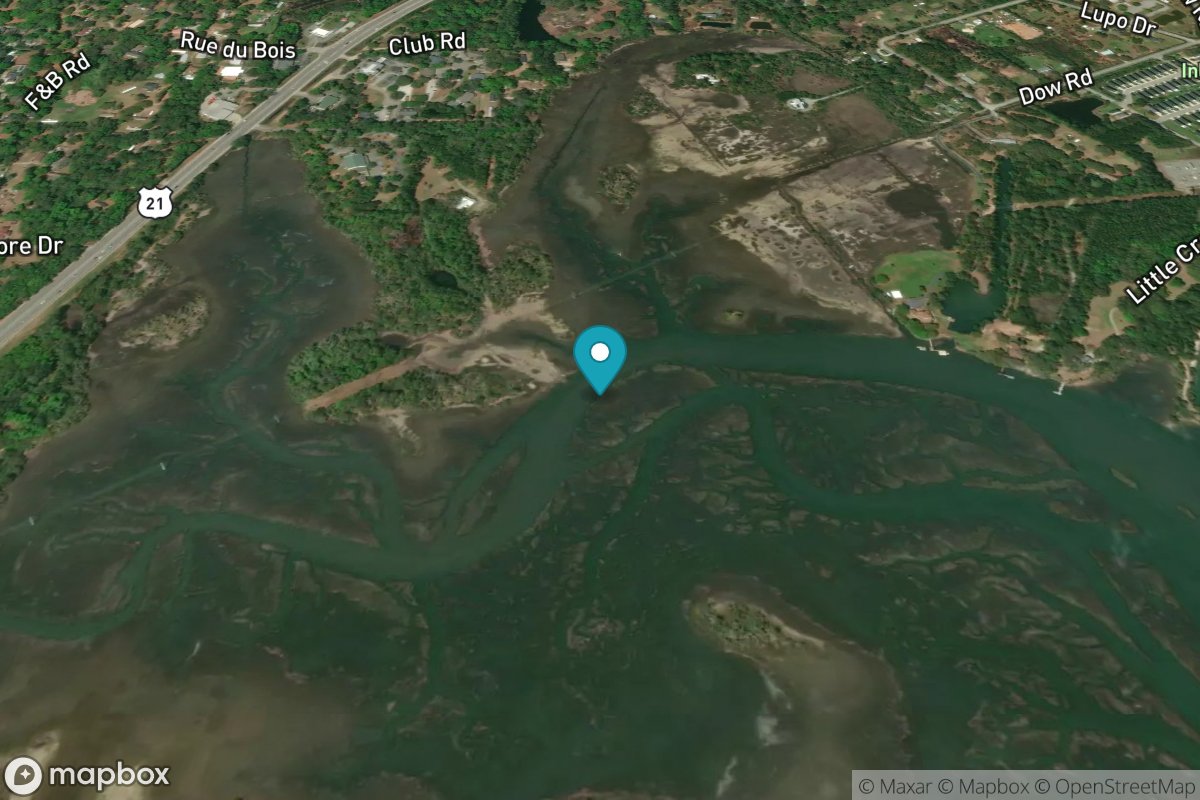
Cowen Creek, Rt. 21 bridge
Tide Predictions
Cuckolds Creek
Tide Predictions
Cumberland
Tide Predictions
Daufuskie Landing, Daufuskie Island
Tide Predictions
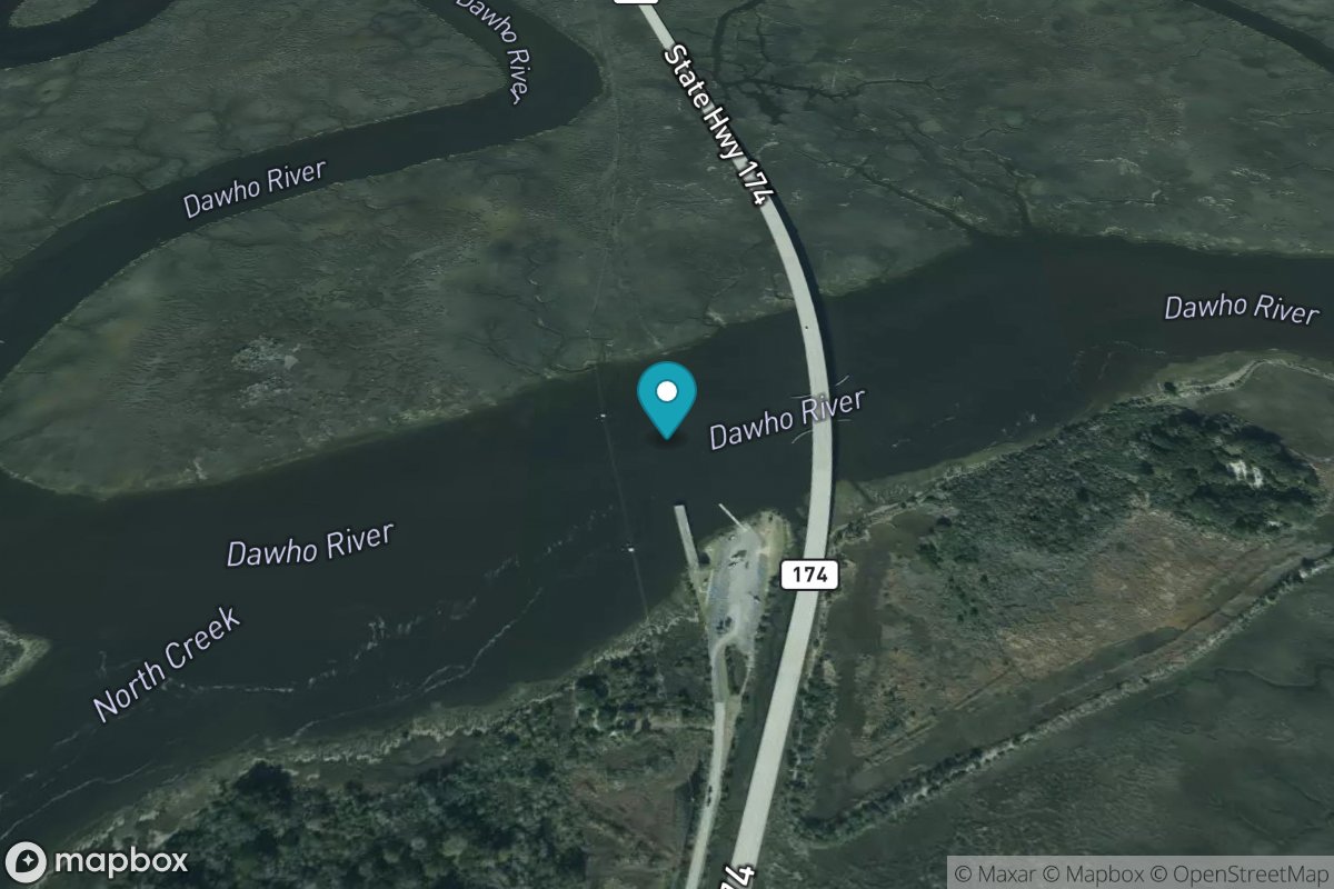
Dawho Bridge, Dawho River
Tide Predictions
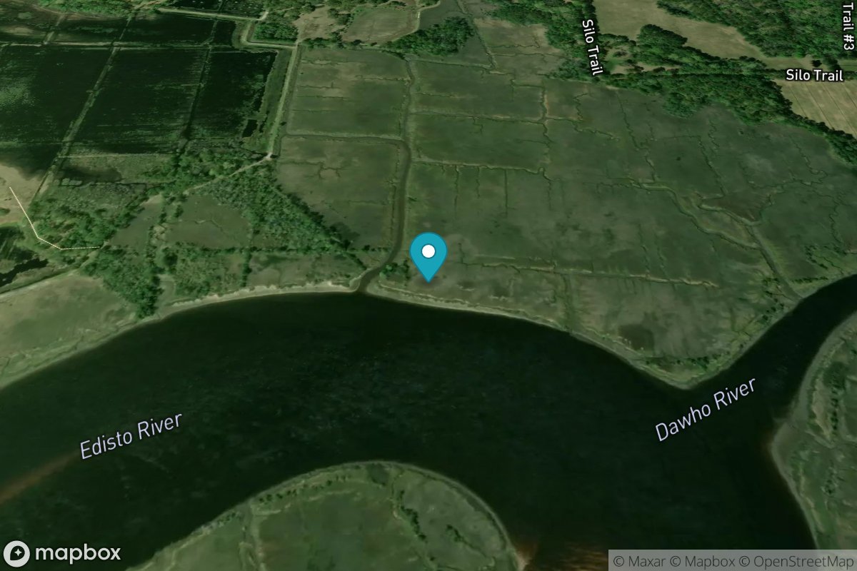
Dawho River
Tide Predictions
Distant Island Creek, upper end, Cowen Creek
Tide Predictions
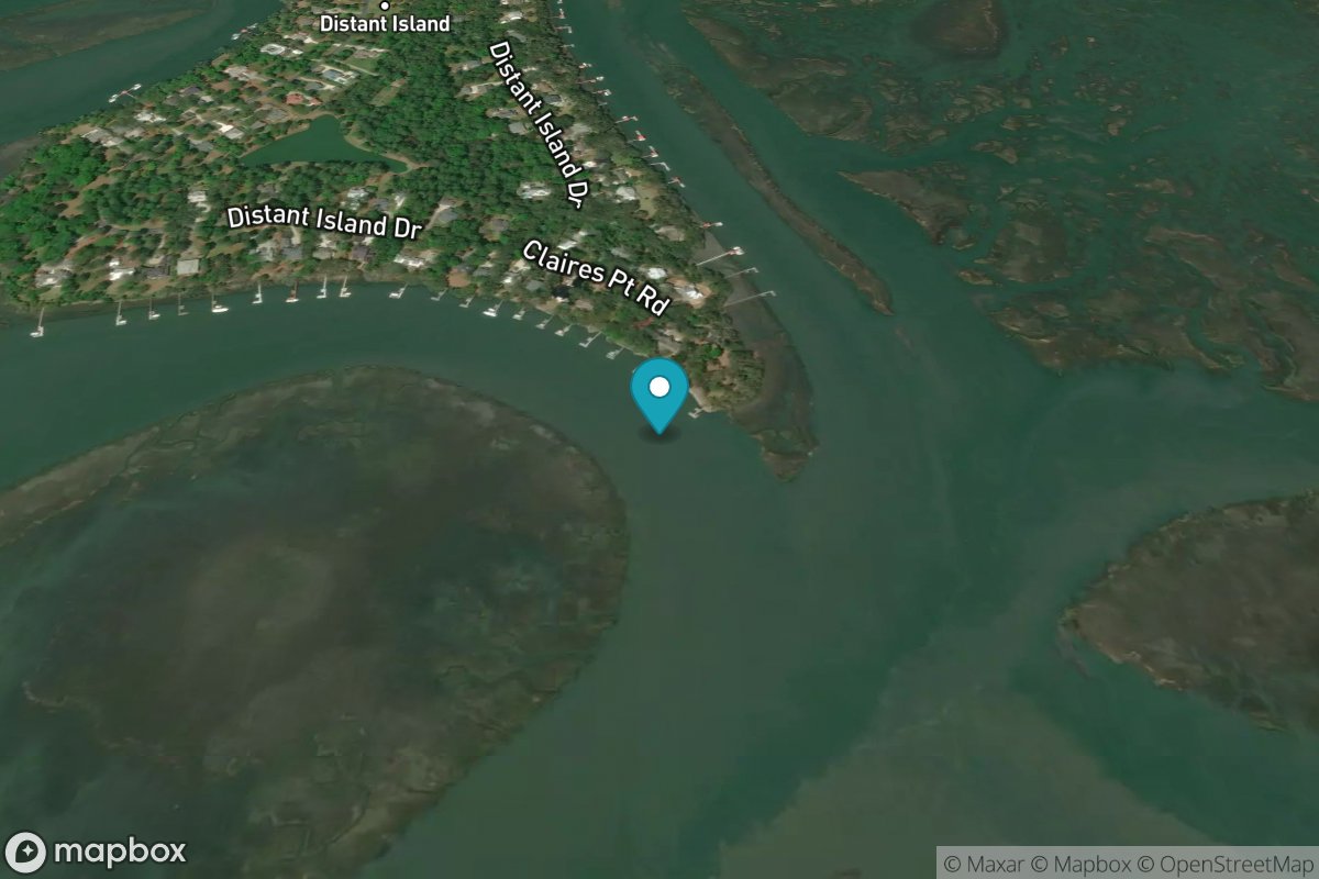
Distant Island, Cowen Creek
Tide Predictions
Divine's Dock
Tide Predictions
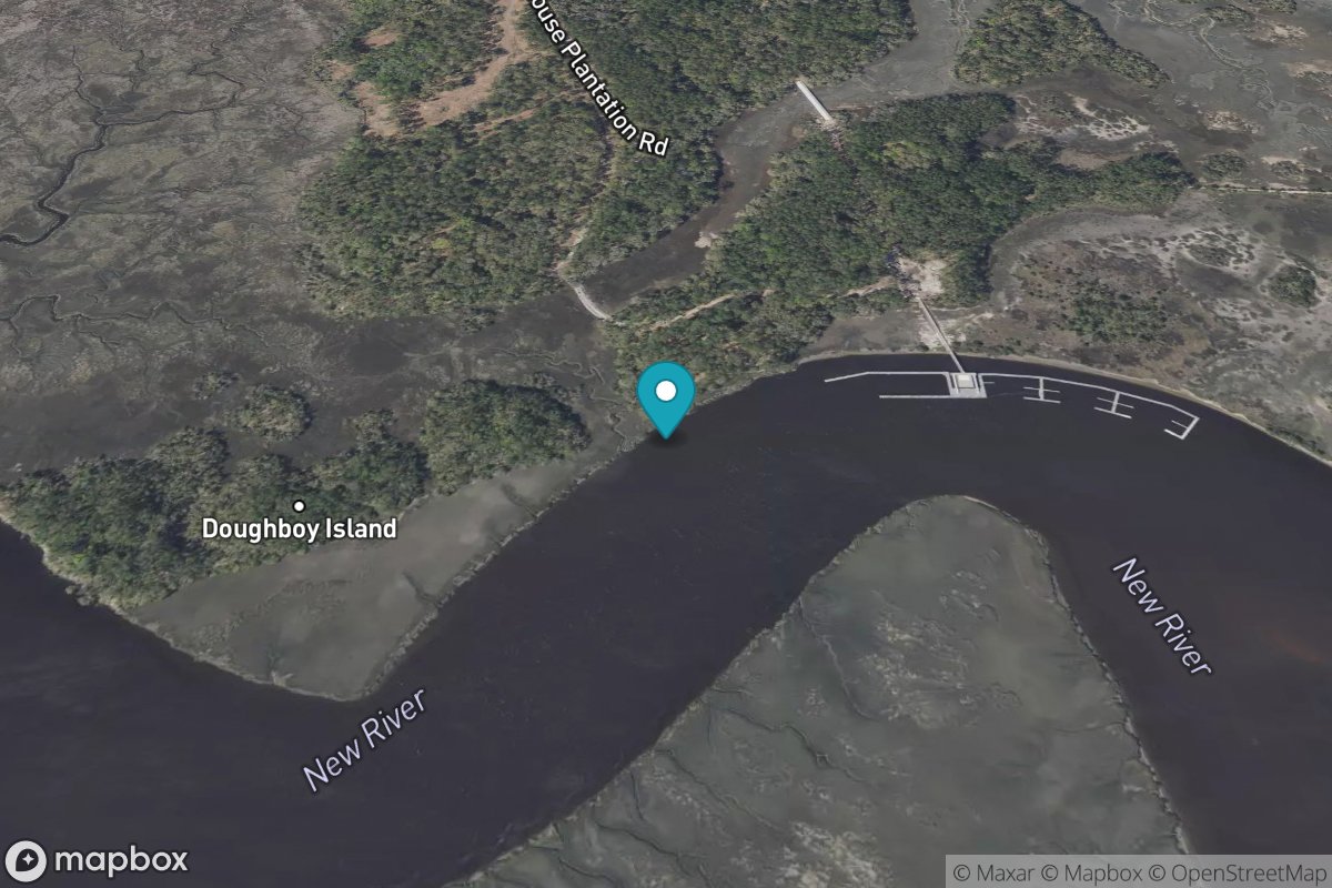
Doughboy Island
Tide Predictions
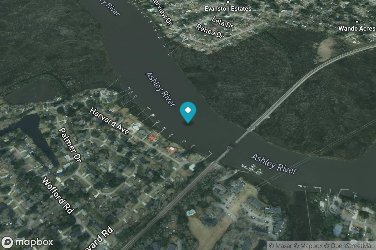
Drayton, Bee's Ferry
Tide Predictions
Duck Island
Tide Predictions
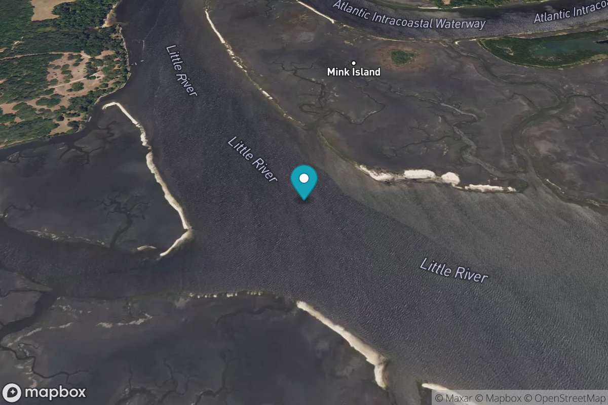
Dunn Sound, Little River Inlet
Tide Predictions
Dunn Sound, north end
Tide Predictions
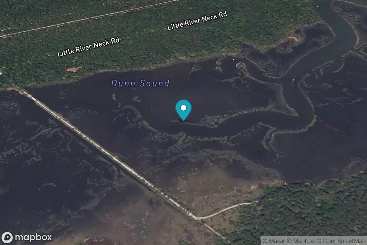
Dunn Sound, west end
Tide Predictions
Dupont, Dean Hall
Tide Predictions
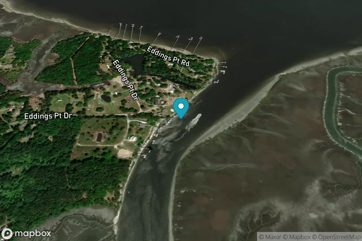
Edding Point, Edding Creek
Tide Predictions
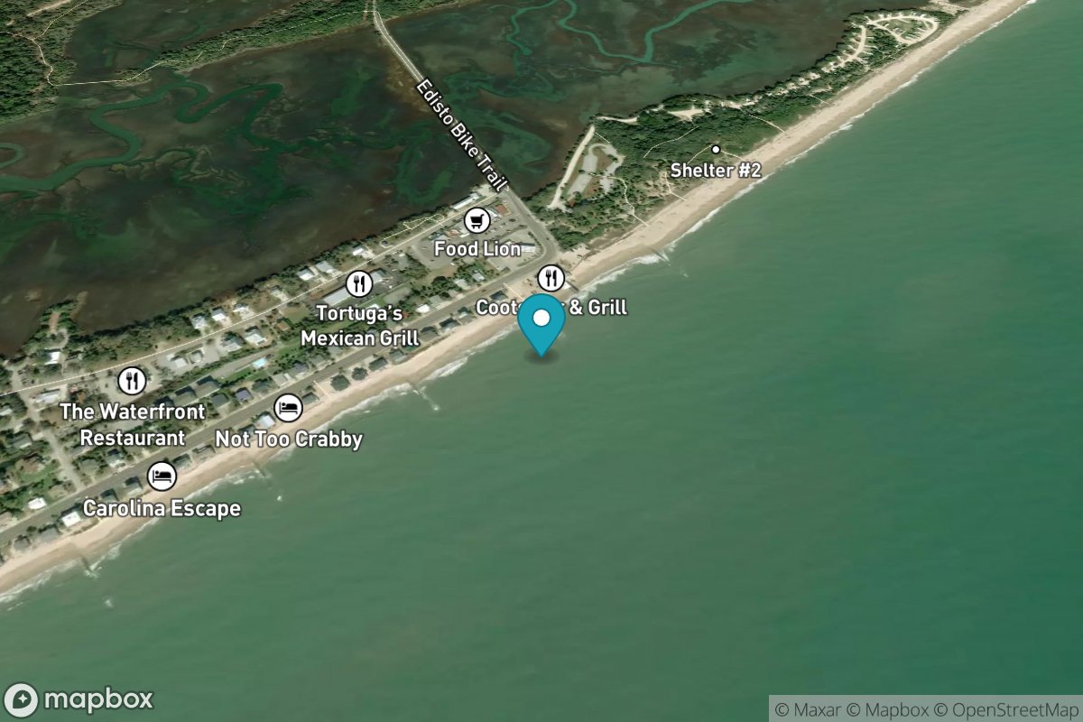
Edisto Beach, Edisto Island
Tide Predictions
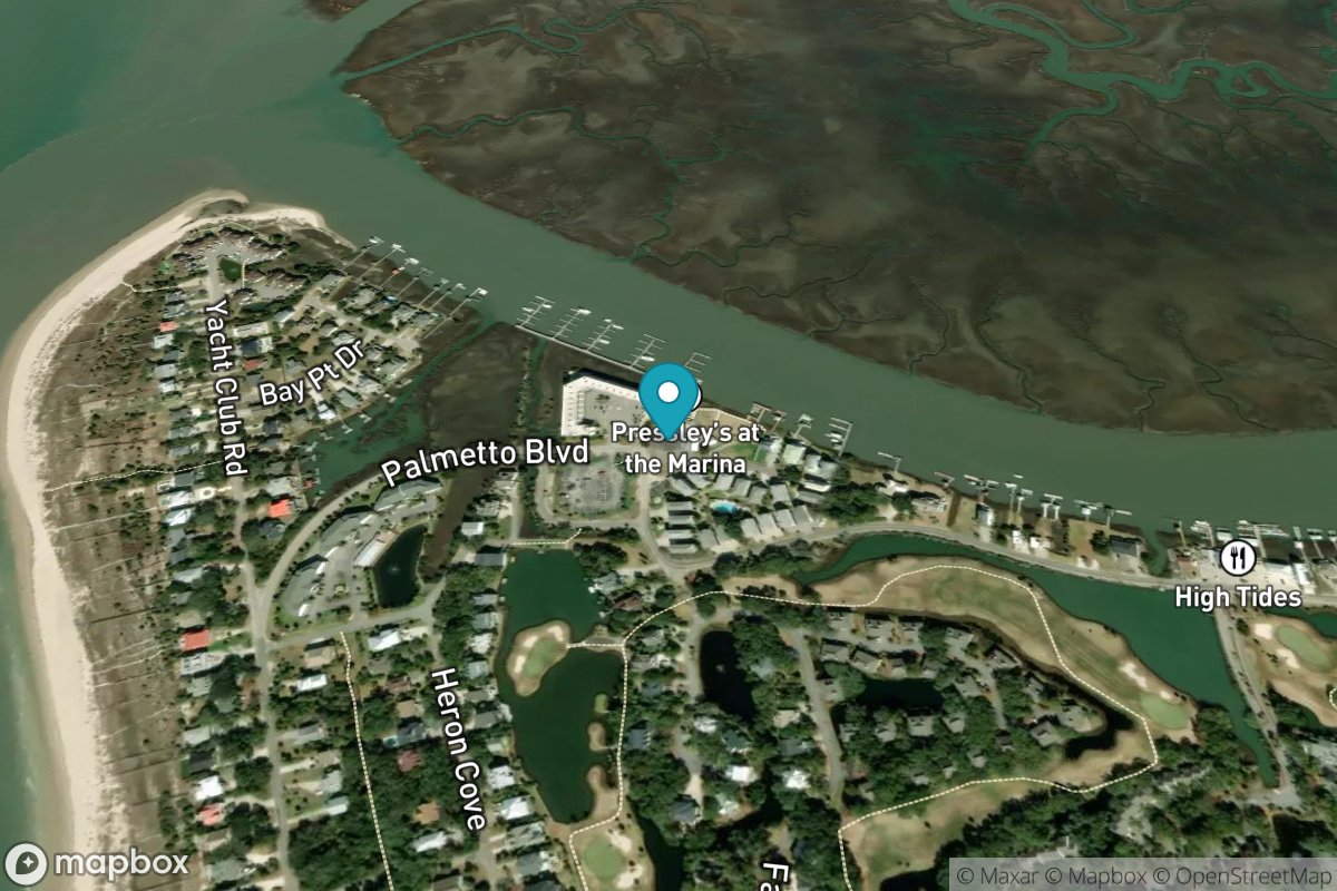
Edisto Marina, Big Bay Creek entrance
Tide Predictions
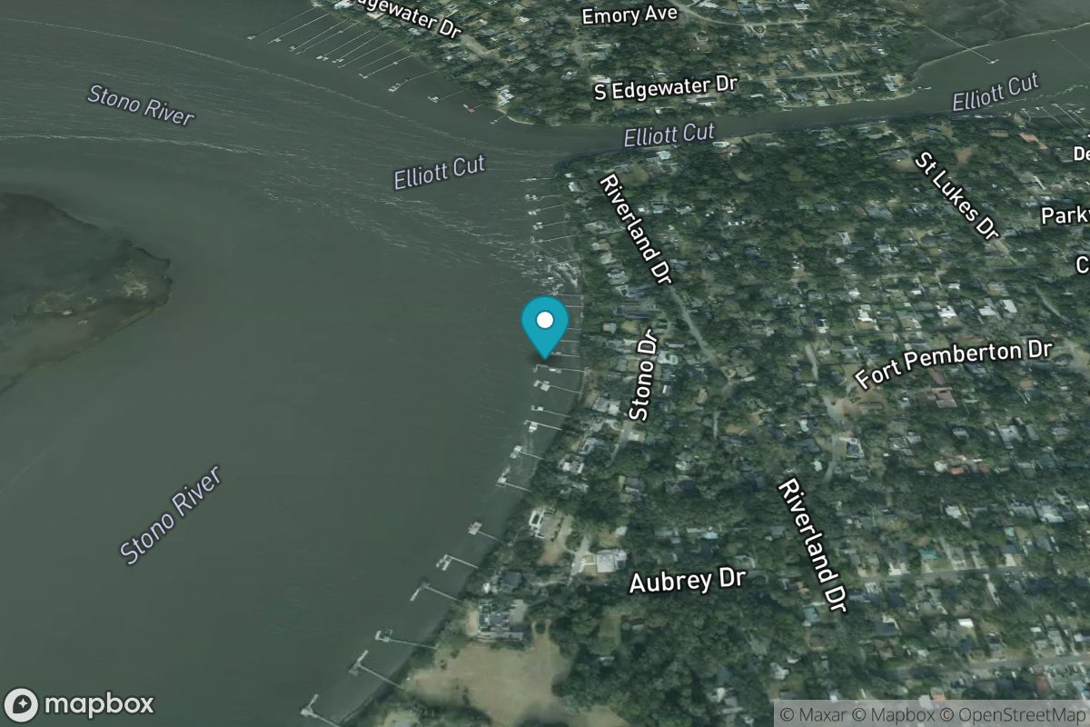
Elliott Cut entrance
Tide Predictions
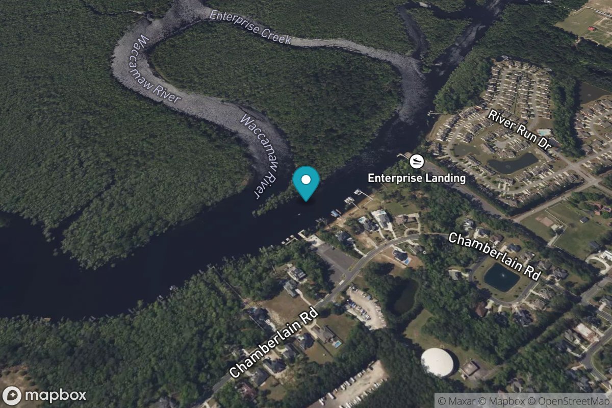
Enterprise Landing
Tide Predictions
Fenwick Island
Tide Predictions
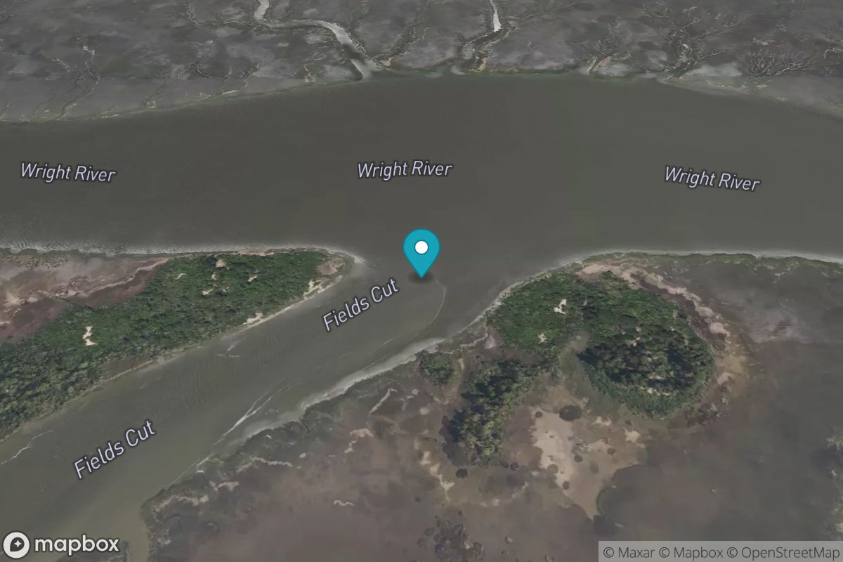
Fields Cut, Wright River
Tide Predictions
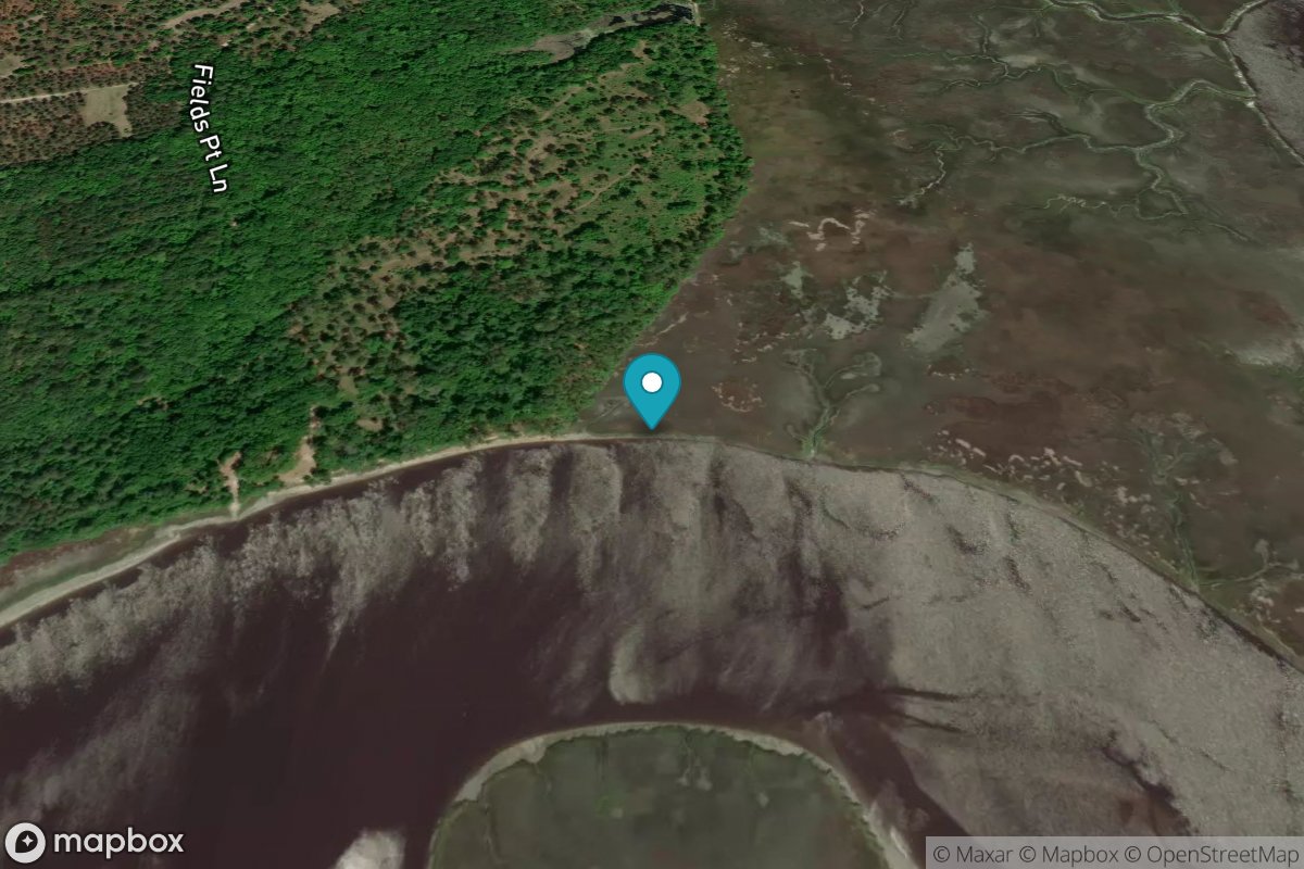
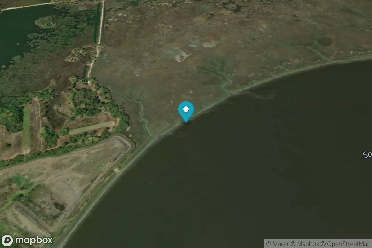
Fields Point
Tide Predictions

Five Fathom Creek entrance
Tide Predictions

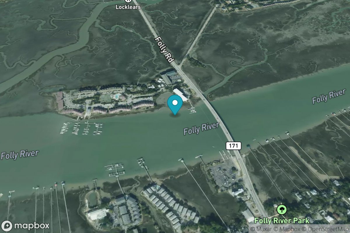
Folly Creek, Hwy. 171 bridge
Tide Predictions
Folly River Bridge, Folly Island
Tide Predictions
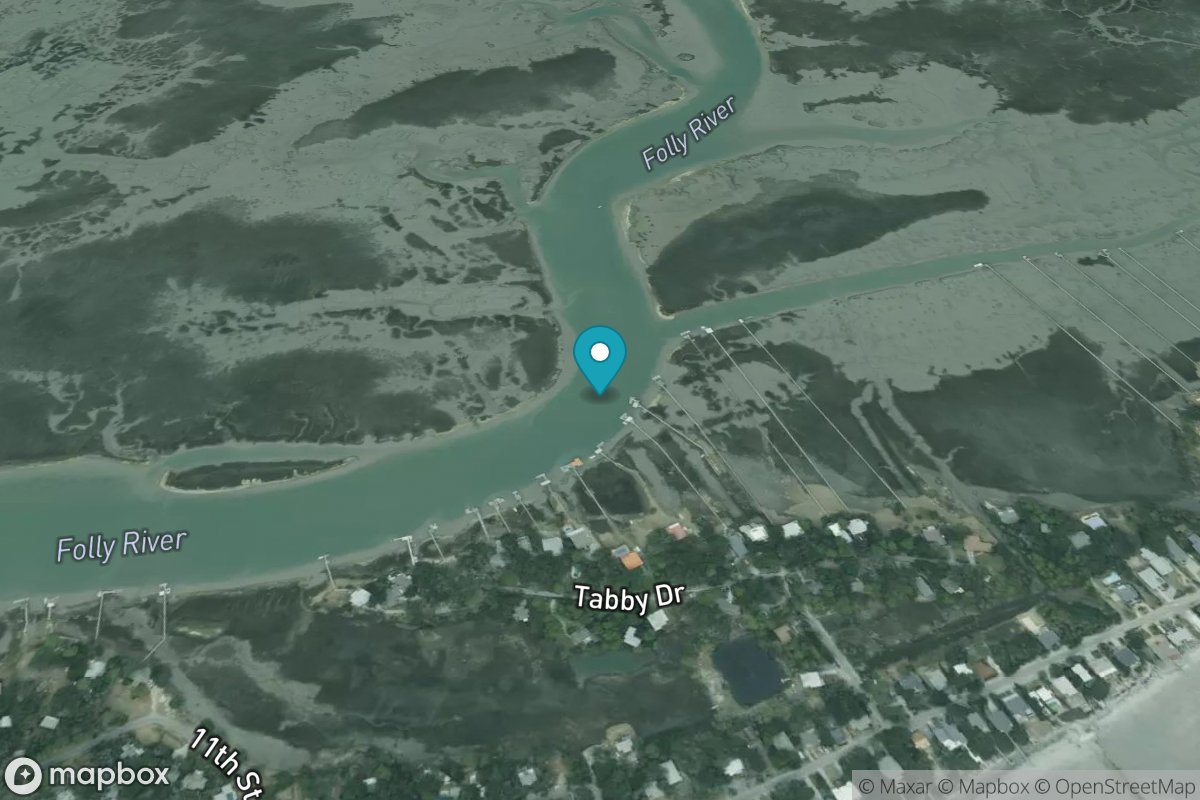
Folly River, north, Folly Island
Tide Predictions