NOAA Tidal Stations
Real-time tide data, water levels, and predictions from coastal stations
3,443
Total Stations
38
States/Territories
2,461
With Tide Predictions
193
With Water Temp
Loading...
Massachusetts 43 stations
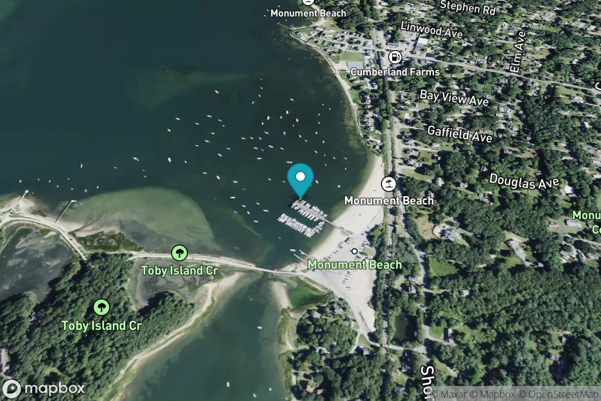
Monument Beach
Tide Predictions
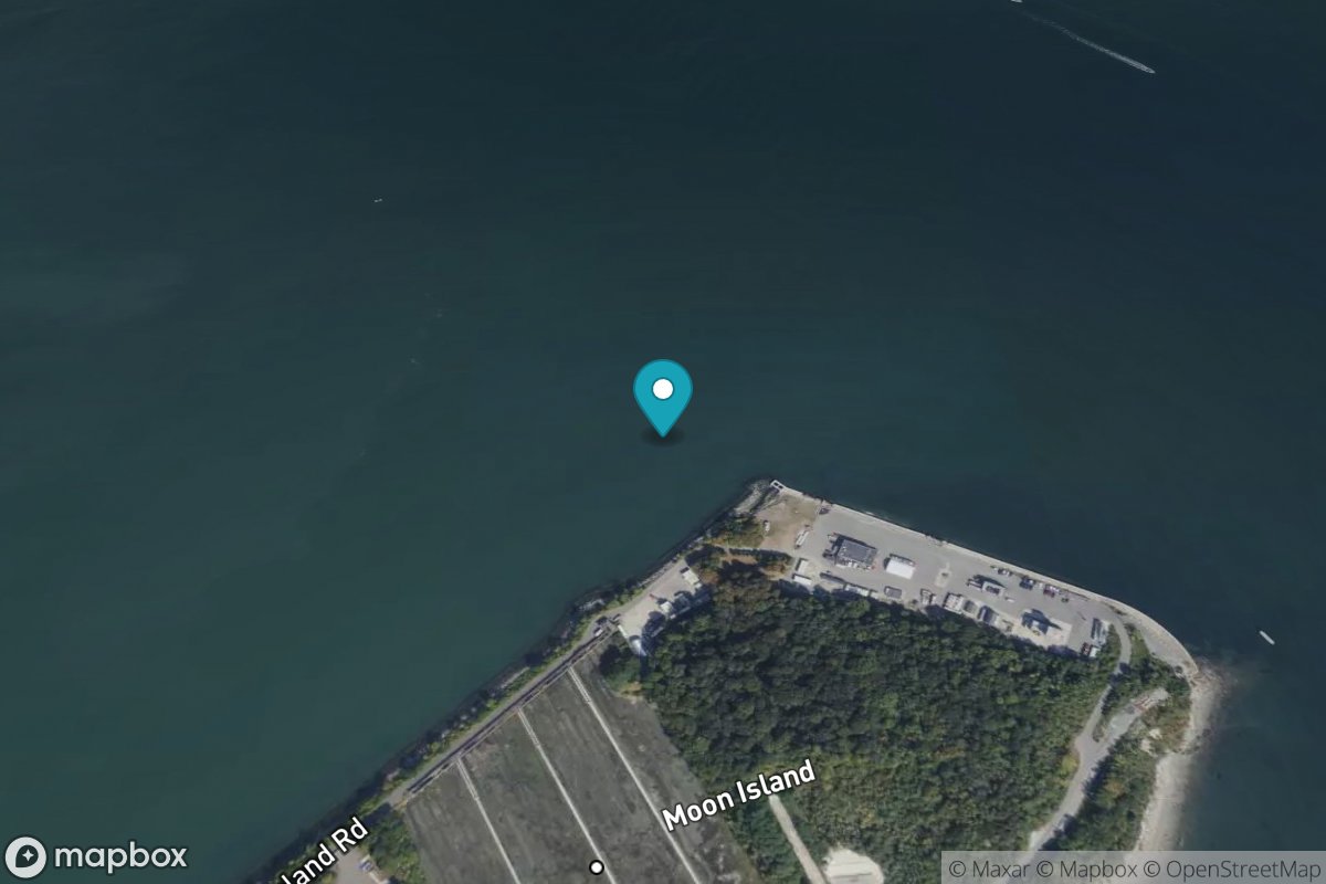
Moon Head
Tide Predictions
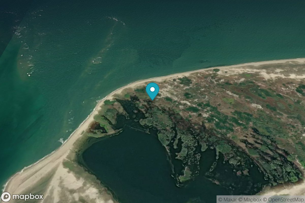
Muskeget Island, north side
Tide Predictions
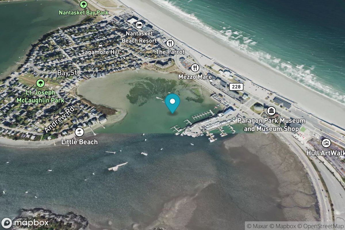
Nantasket Beach, Weir River
Tide Predictions
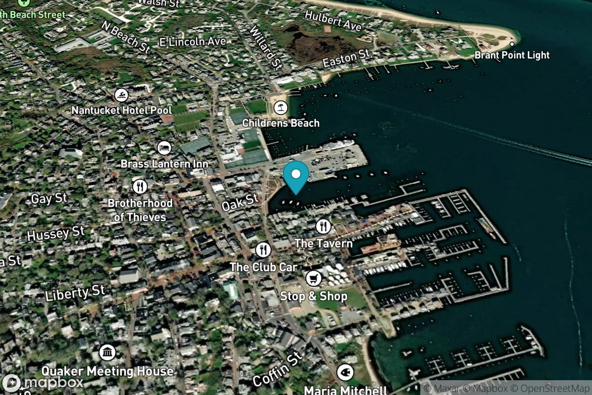
Nantucket Island
Tide Predictions
Water Temp
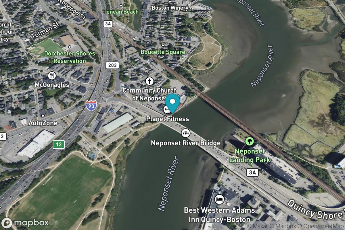
Neponset, Neponset River
Tide Predictions
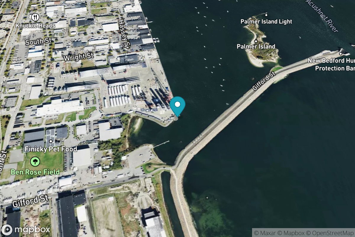
New Bedford Harbor
Tide Predictions
Nomans Land
Tide Predictions
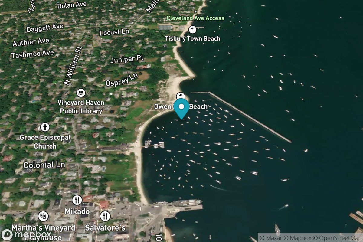
Oak Bluffs
Tide Predictions
Onset Beach, Onset Bay
Tide Predictions
Pleasant Bay
Tide Predictions
Poponesset Island, Poponesset Bay
Tide Predictions
Quicks Hole, North side
Tide Predictions
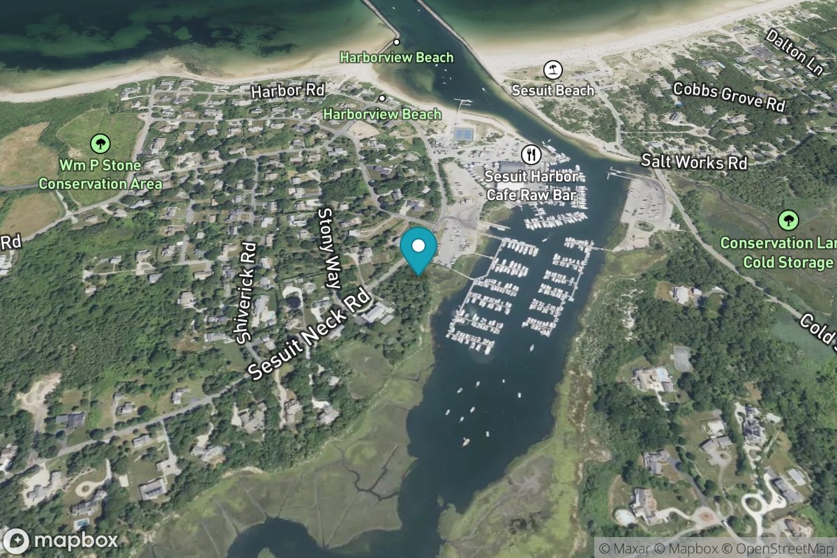
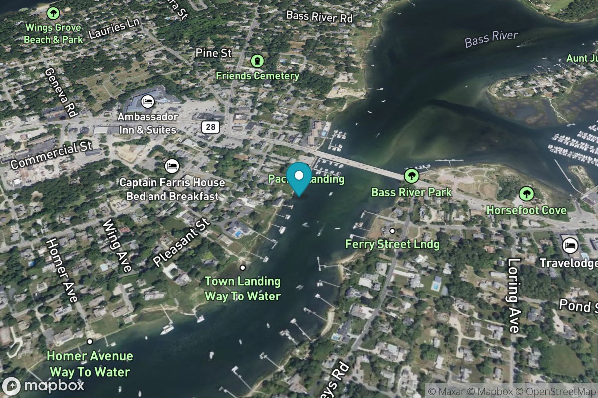
South Yarmouth, Bass River
Tide Predictions
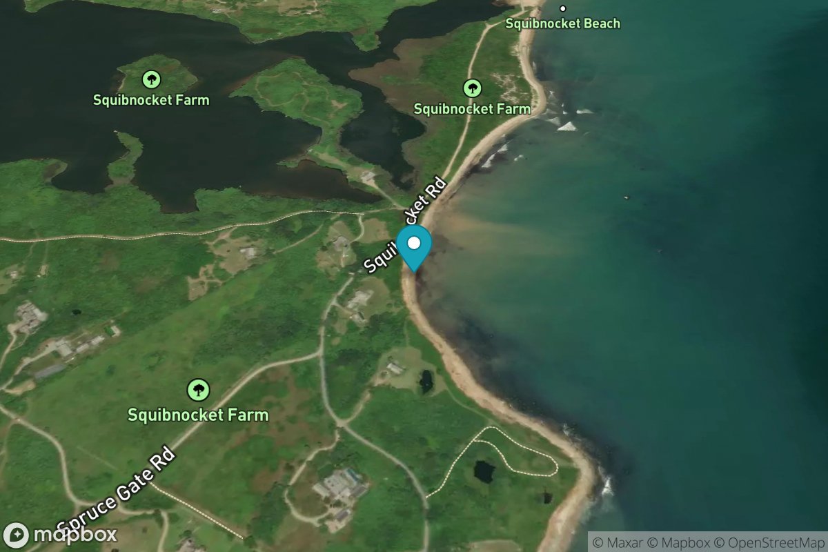
Squibnocket Point
Tide Predictions
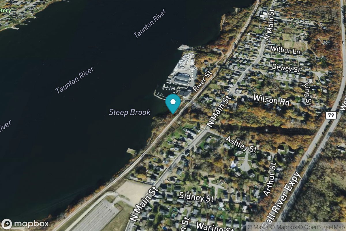
Steep Brook, Taunton River
Tide Predictions
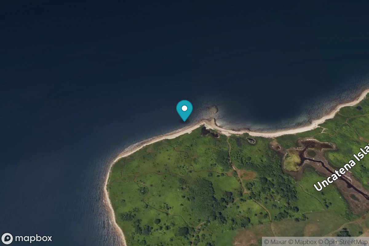
Uncatena Island (south side)
Tide Predictions
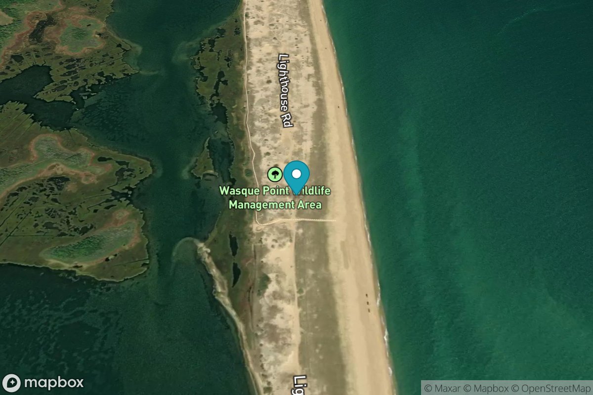
Wasque Point, Chappaquiddick Island
Tide Predictions
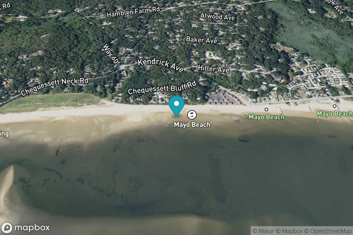
Wellfleet
Tide Predictions
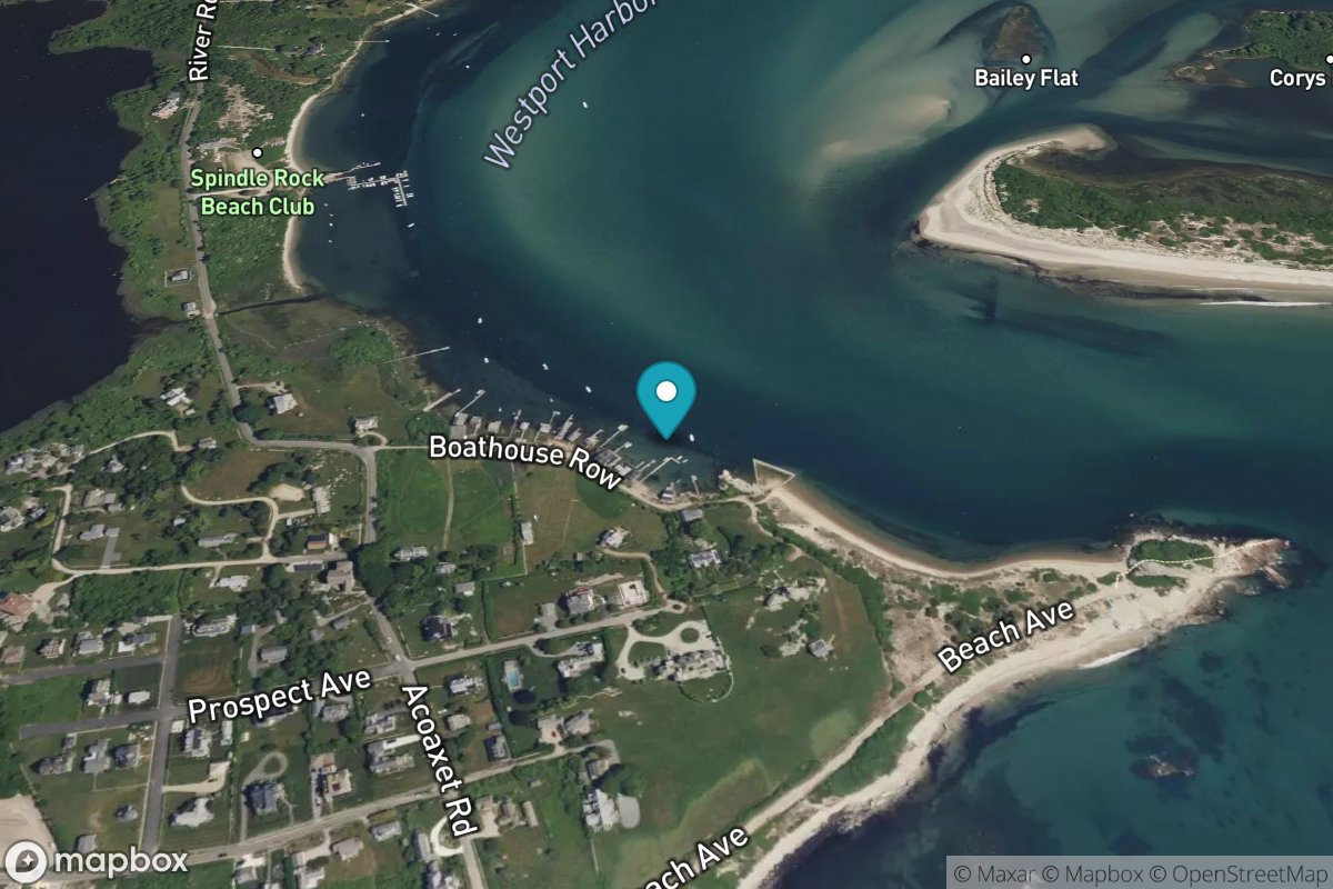
Westport Harbor
Tide Predictions
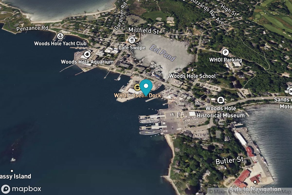
Woods Hole
Tide Predictions
Water Temp
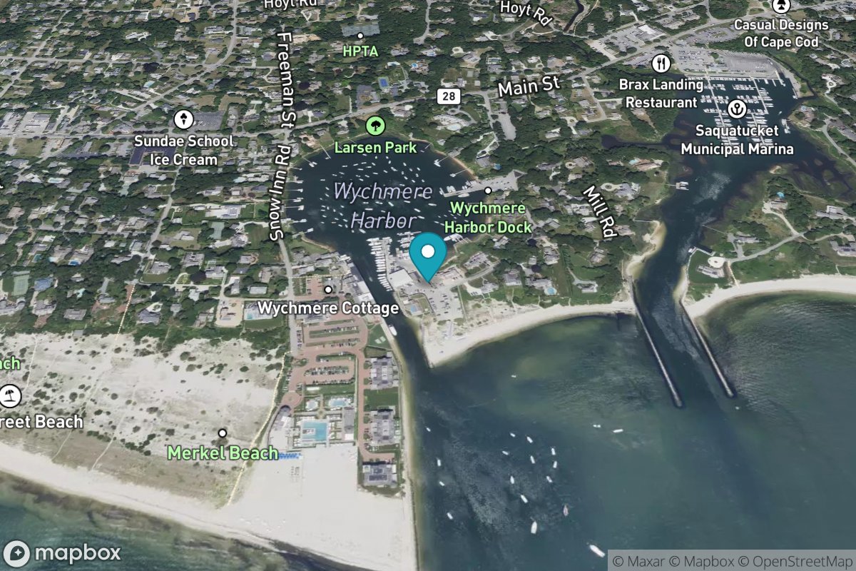
Wychmere Harbor
Tide Predictions
Maryland 5 stations
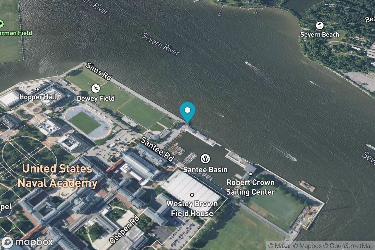
Annapolis
Tide Predictions
Water Temp
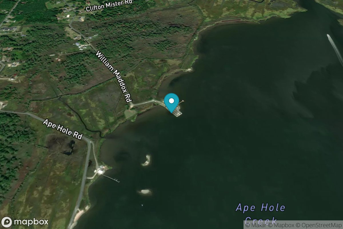
Ape Hole Creek, Pocomoke Sound
Tide Predictions
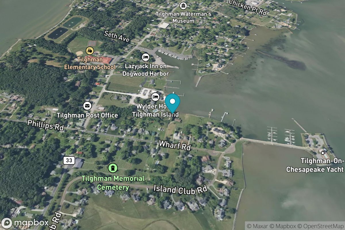
Avalon, Dogwood Harbor
Tide Predictions
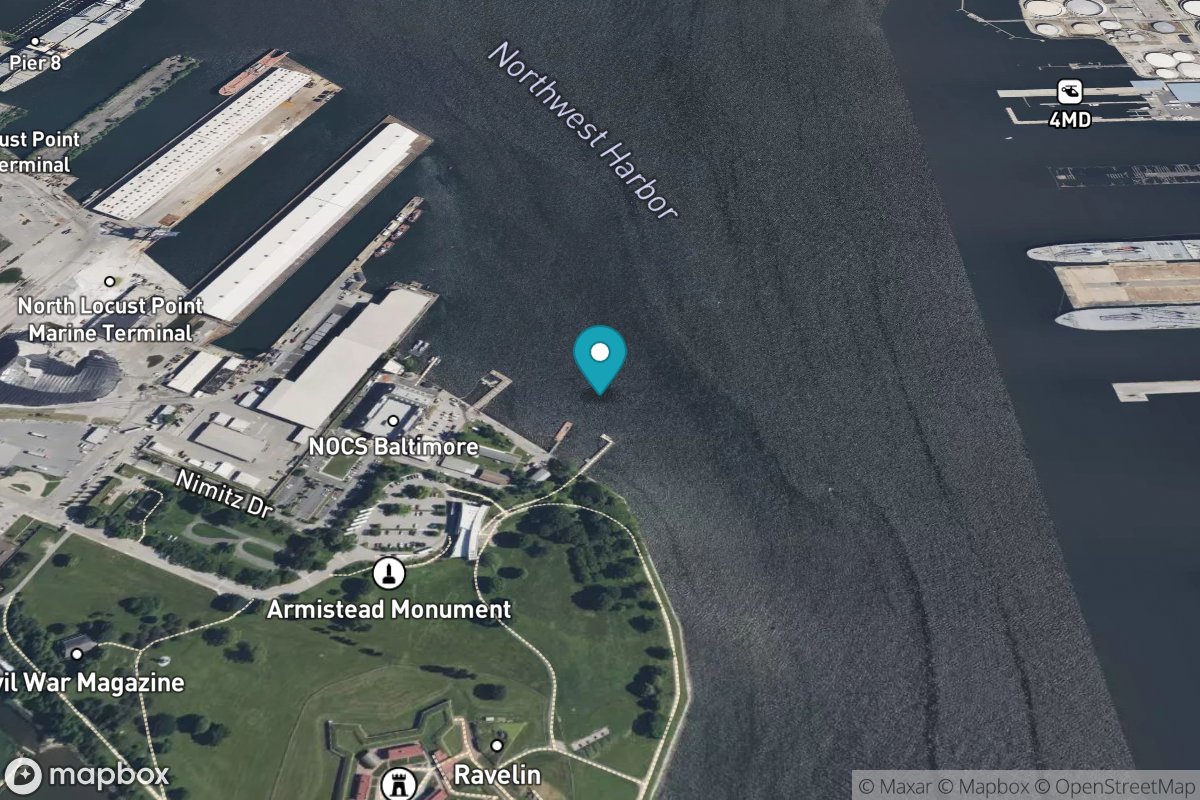
Baltimore
Tide Predictions
Water Temp