NOAA Tidal Stations in South Carolina
Real-time tide data, water levels, and predictions from coastal stations
247
Total Stations
1
States/Territories
216
With Tide Predictions
2
With Water Temp
Loading...
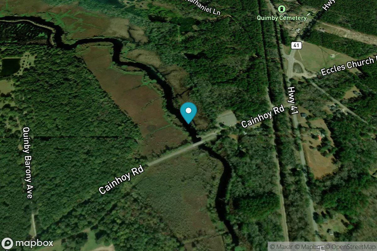
Quinby Creek bridge, East Branch
Tide Predictions
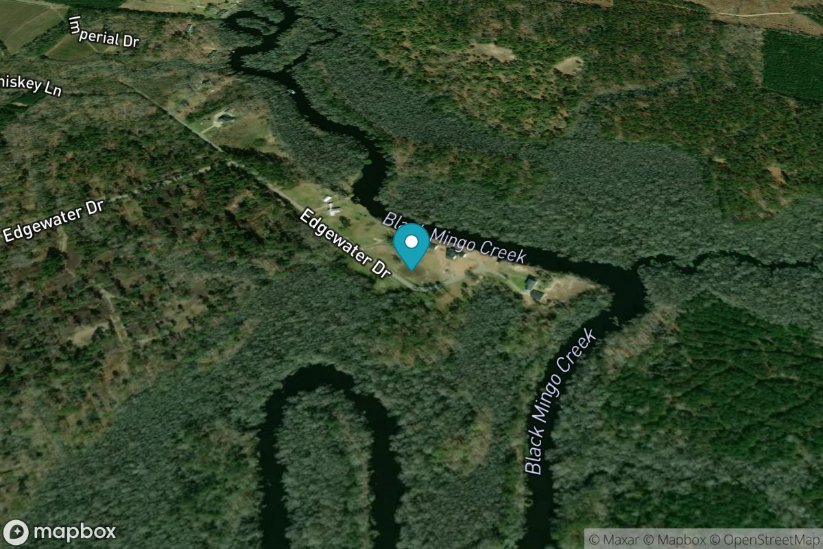
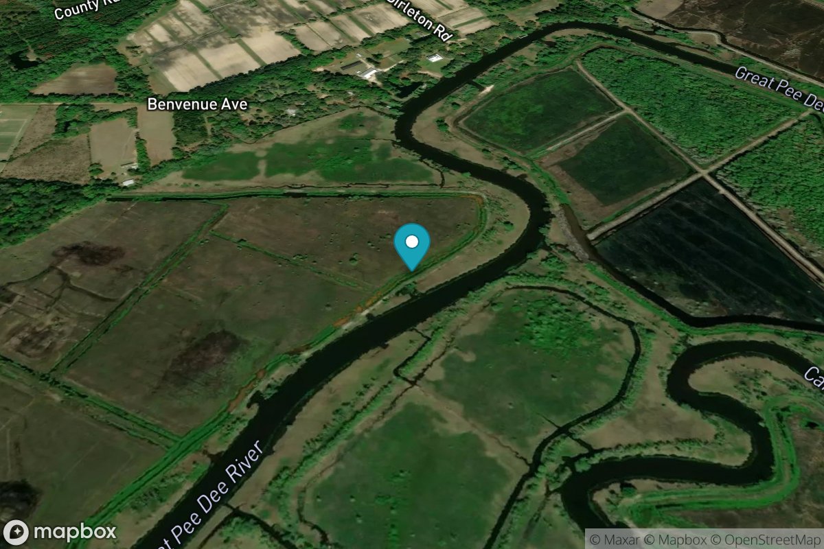
Rhems, Black Mingo Creek, Black River
Tide Predictions
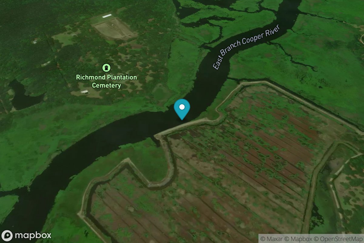
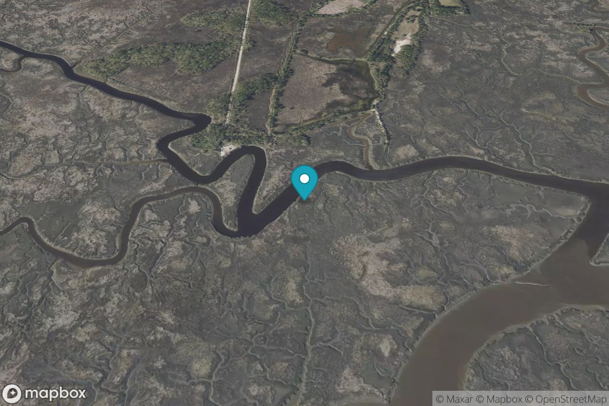
Richmond Plantation, East Branch
Tide Predictions
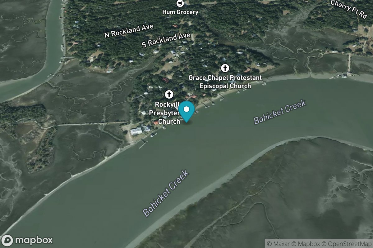
Rockville, Bohicket Creek
Tide Predictions
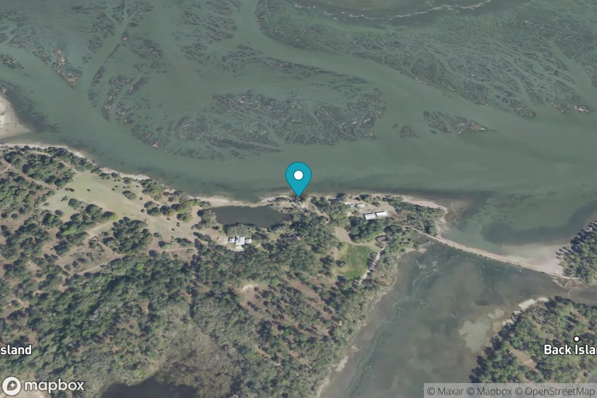
RR. Bridge, Hall Island
Tide Predictions
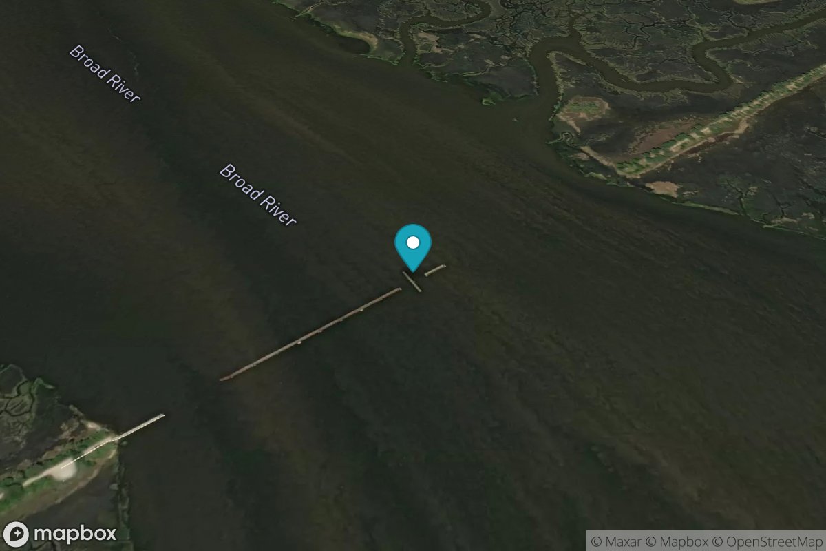
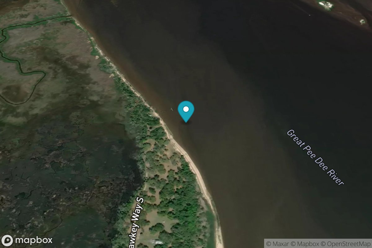
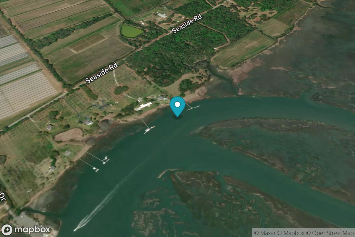
Rt. 170 bridge
Tide Predictions
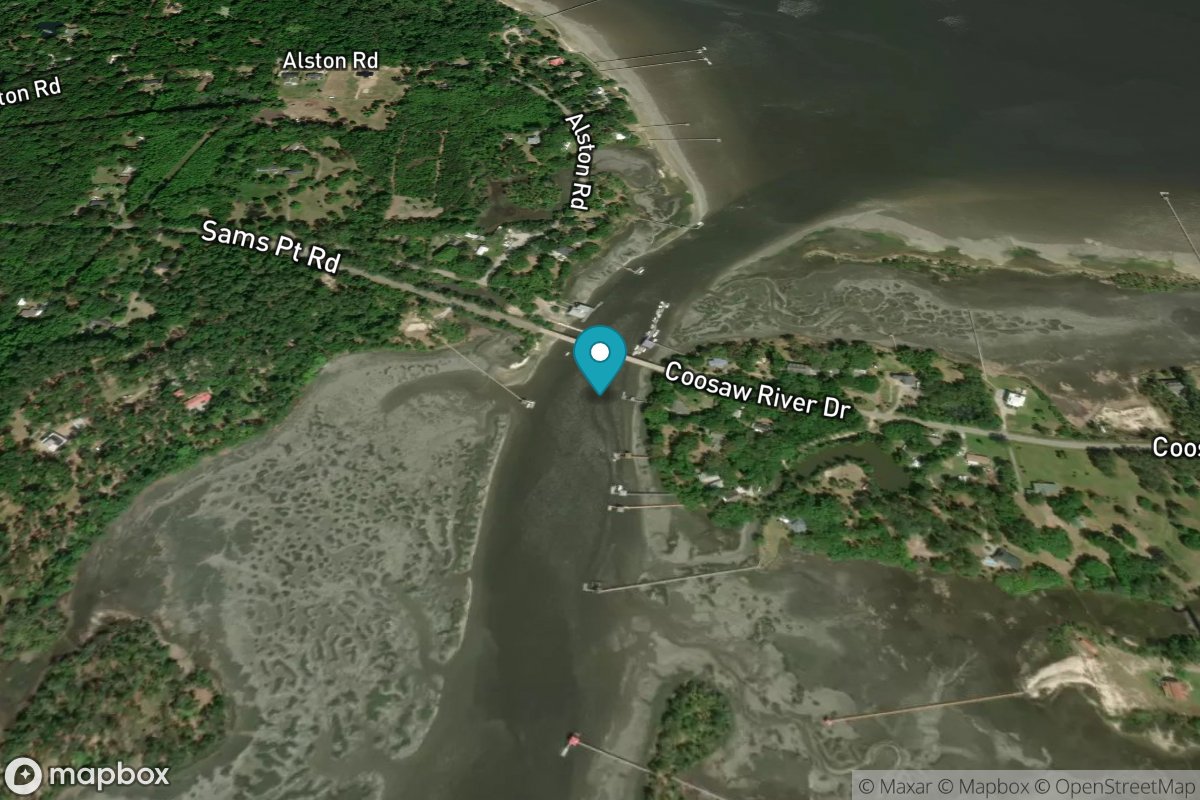
Sams Point, Lucy Point Creek
Tide Predictions
Sandblasters, Pennys Creek
Tide Predictions
Savage I., Savage Creek, Bull Creek
Tide Predictions
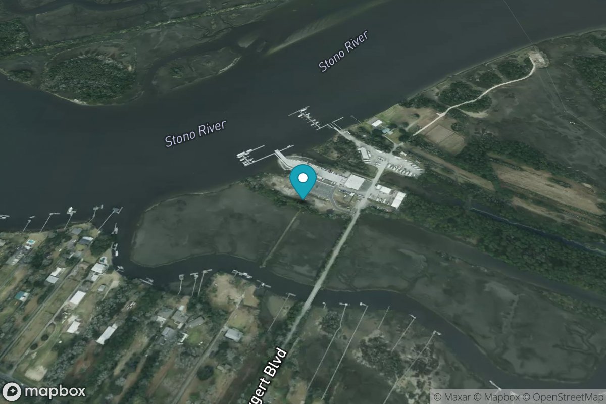
Seabrook
Tide Predictions
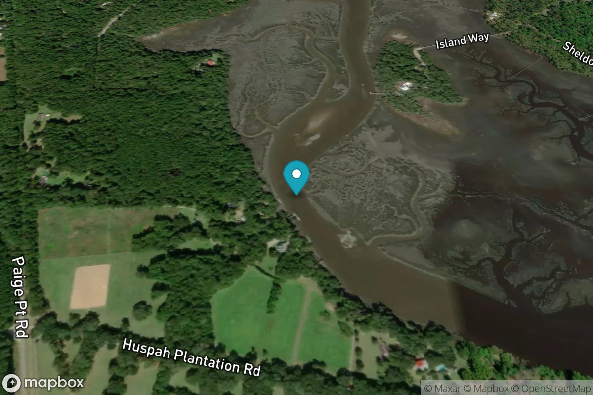
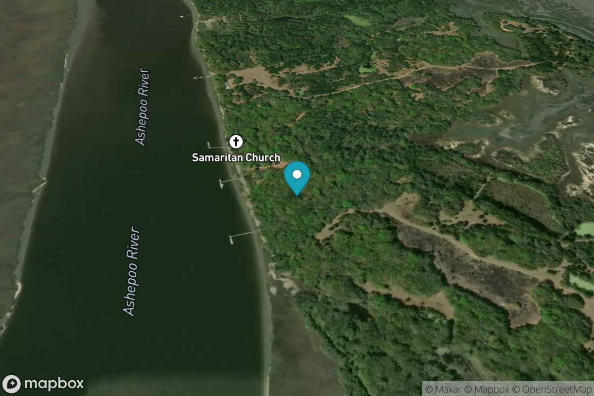
Sheldon, Huspa Creek, Whale Branch
Tide Predictions
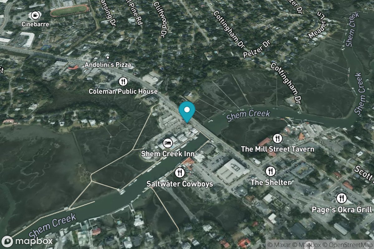
Shem Creek
Tide Predictions
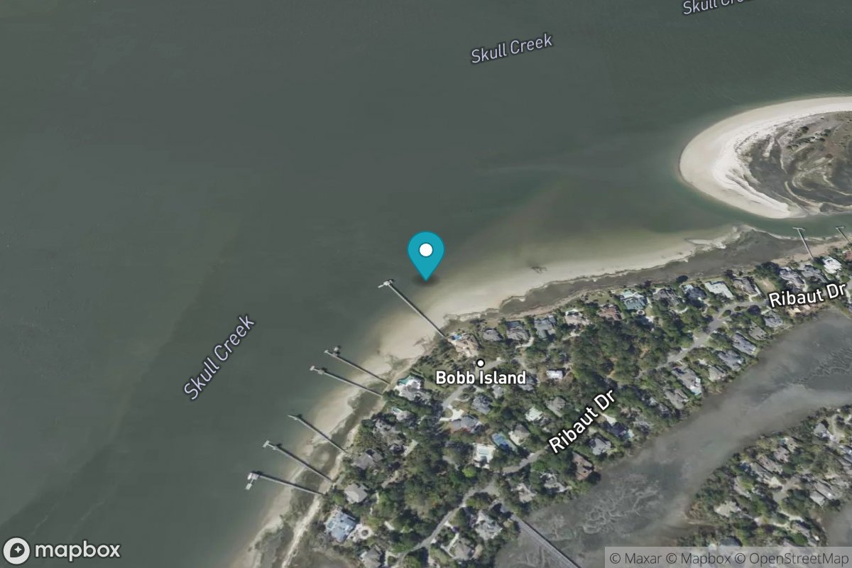
Skull Creek, south entrance, Hilton Head Island
Tide Predictions
Smith's Dock
Tide Predictions

Snake Island
Tide Predictions
Snow Point, 0.4 mi. North of
Tide Predictions
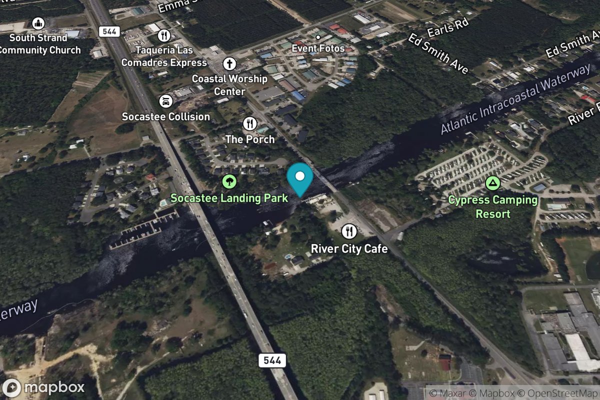
Socastee Bridge
Tide Predictions
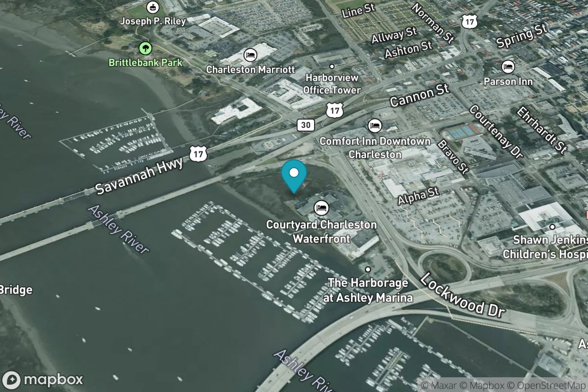
South Ashley Bridge
Tide Predictions
South Dewees Island, Dewees Inlet
Tide Predictions
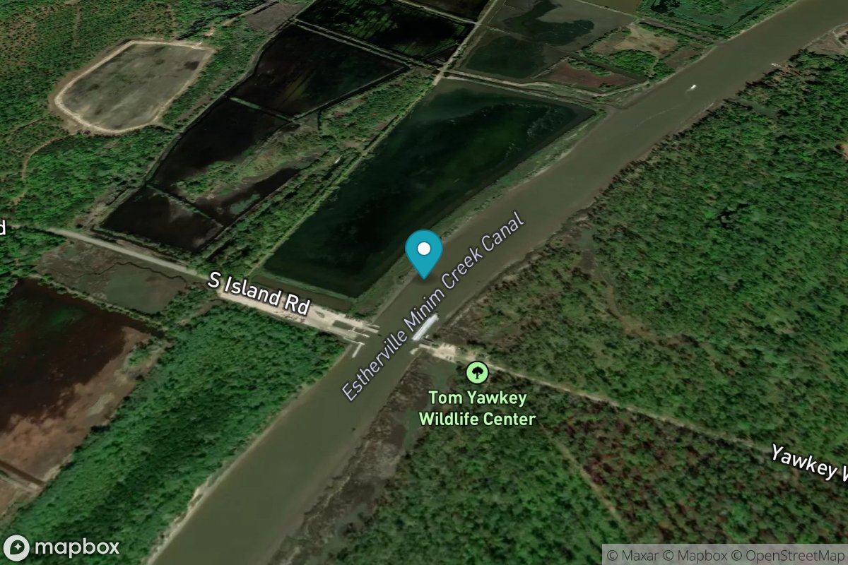
South Island Ferry, Intracoastal Waterway
Tide Predictions
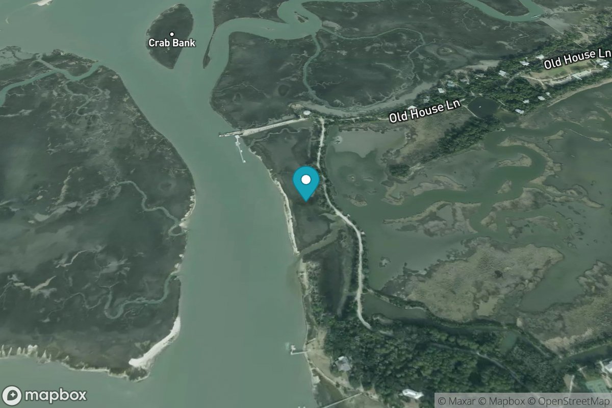
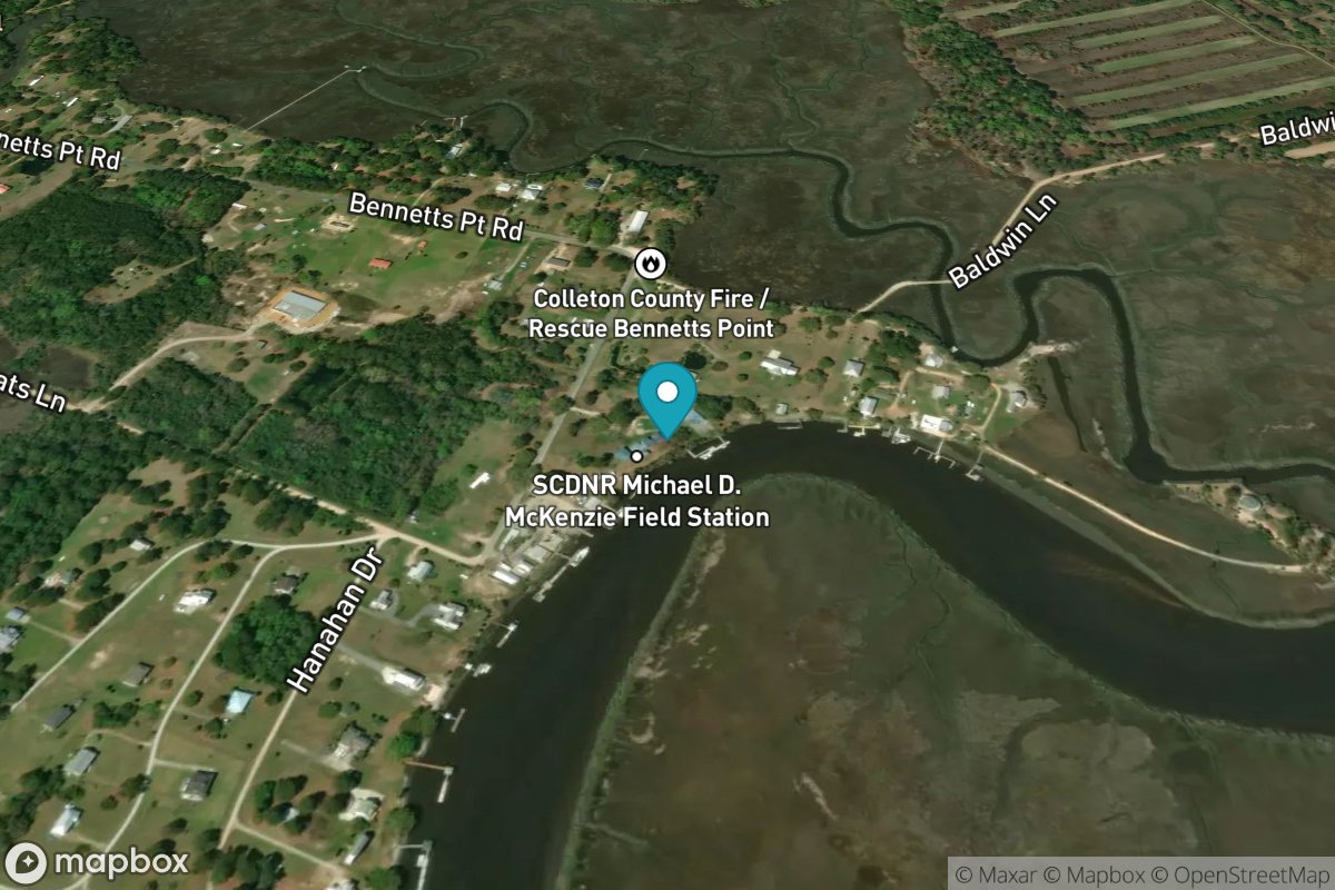
South Island Plantation (C.G. Station)
Tide Predictions
South of Sam Worth Game Management Area
Tide Predictions
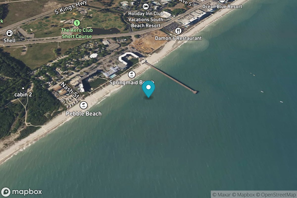
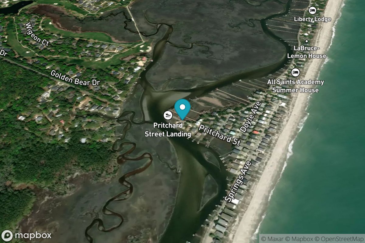
Springmaid Pier
Tide Predictions
Water Temp
Station Creek, County Landing
Tide Predictions
Station Creek, west end
Tide Predictions
Steamboat Landing, Steamboat Creek
Tide Predictions
Summerhouse Point, Bull River
Tide Predictions
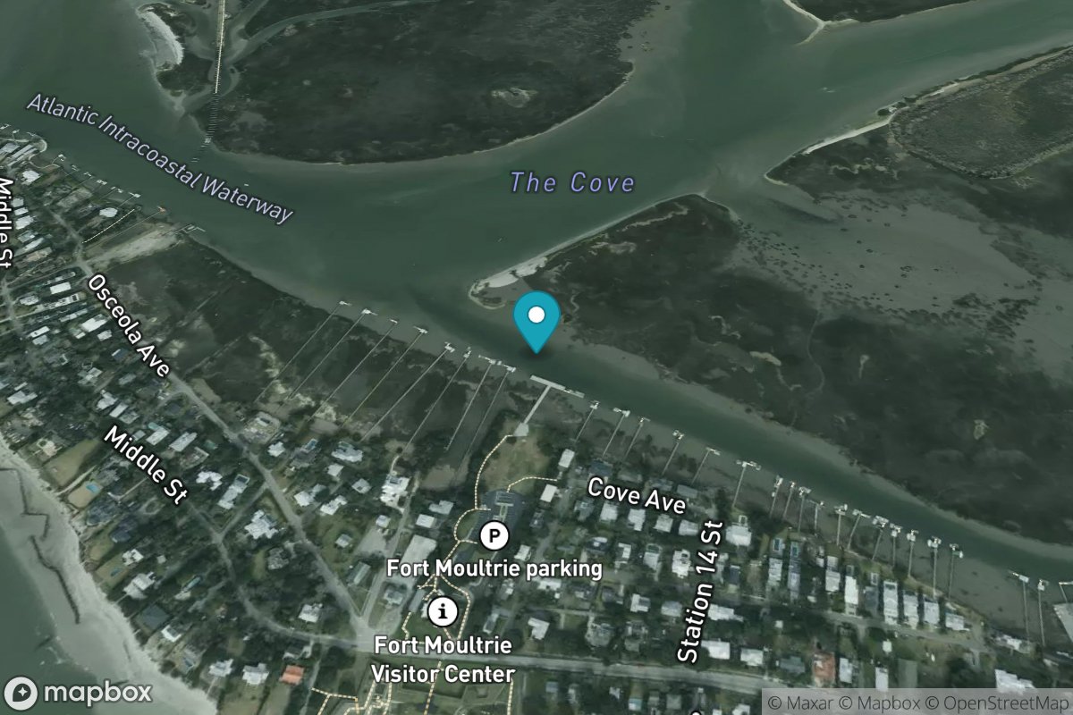
The Cove, Fort Moultrie
Tide Predictions
Toogoodoo Creek, 2 mi. above entrance
Tide Predictions
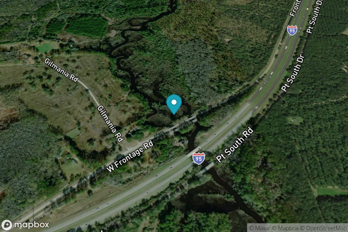
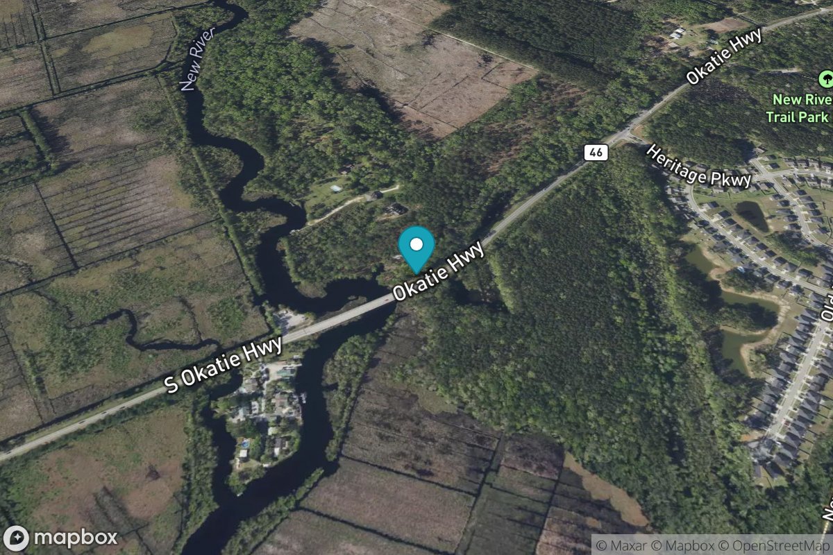
Tulifiny River, I-95 bridge
Tide Predictions
Turnbridge Landing, Salt Water Creek
Tide Predictions
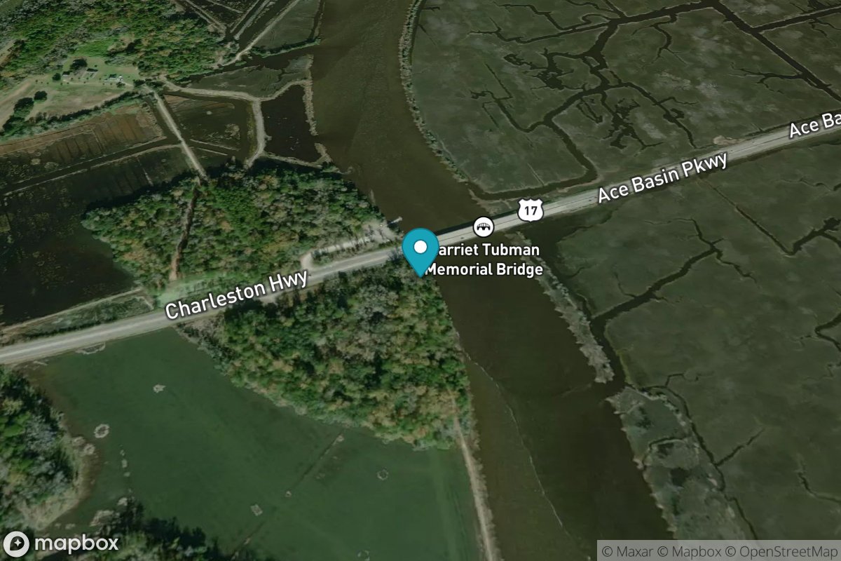
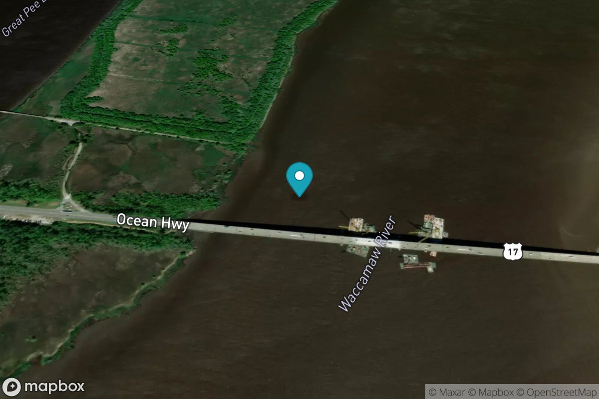
U.S. 17 Bridge
Tide Predictions
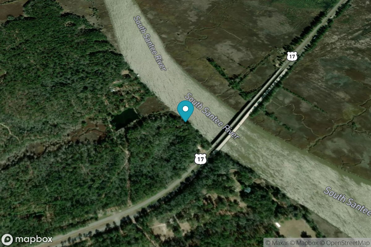
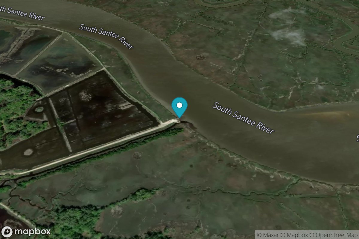
U.S. Highway 17 bridge, South Santee River
Tide Predictions
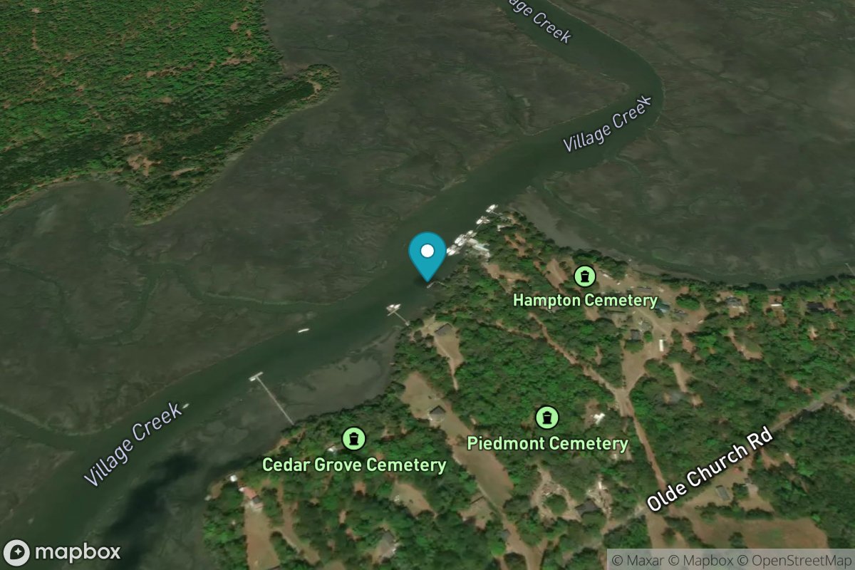
Village Creek Cemetery
Tide Predictions
Village Creek Entrance
Tide Predictions
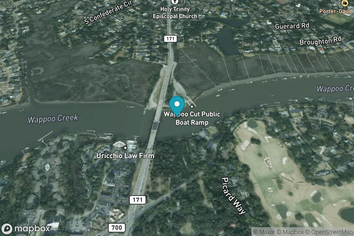
Wappoo Creek, highway bridge
Tide Predictions
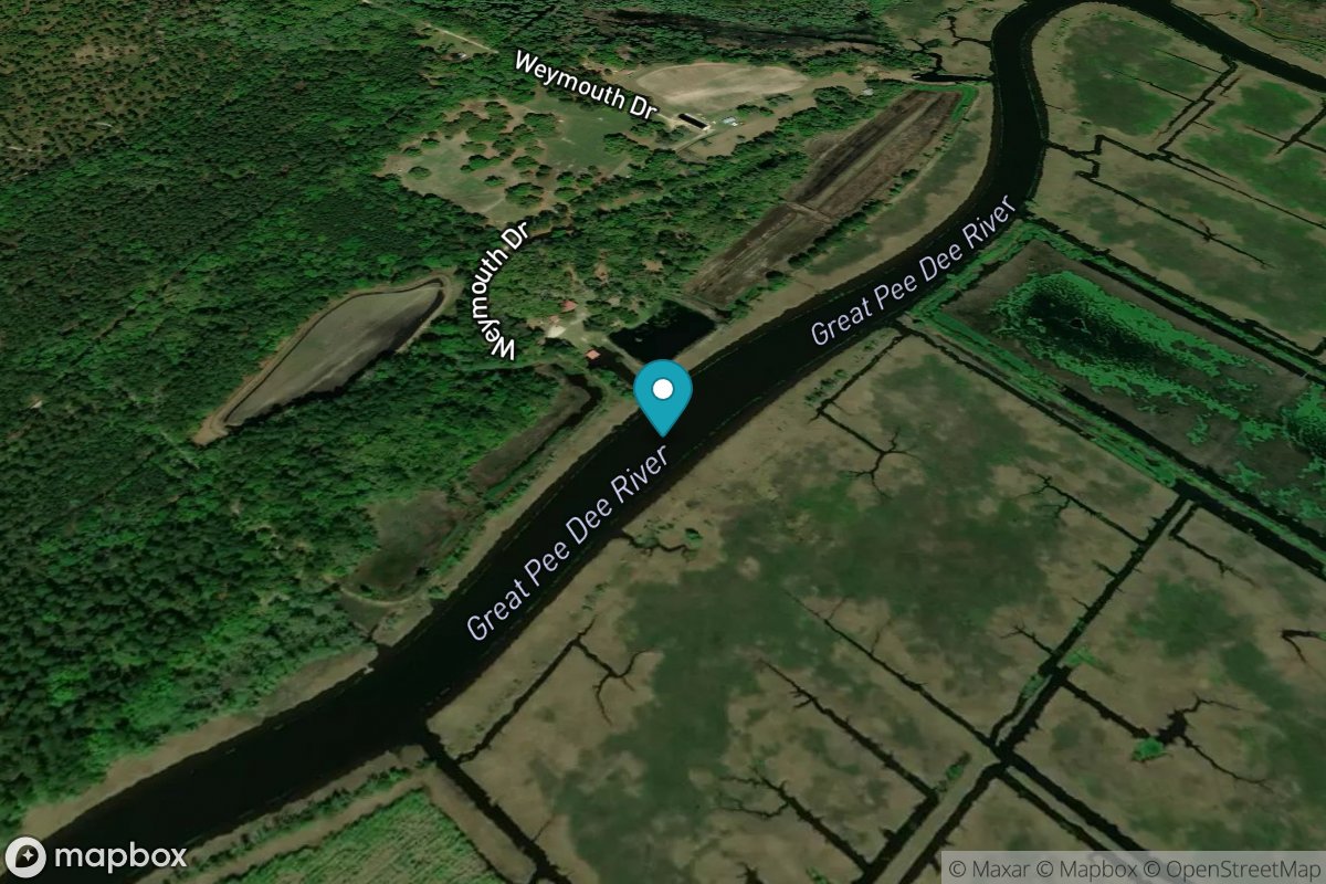
Weymouth Plantation
Tide Predictions
Whale Branch entrance
Tide Predictions
Wharf Creek entrance
Tide Predictions
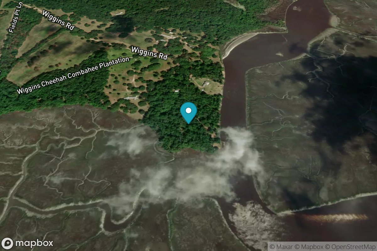
Wiggins, Chehaw River
Tide Predictions
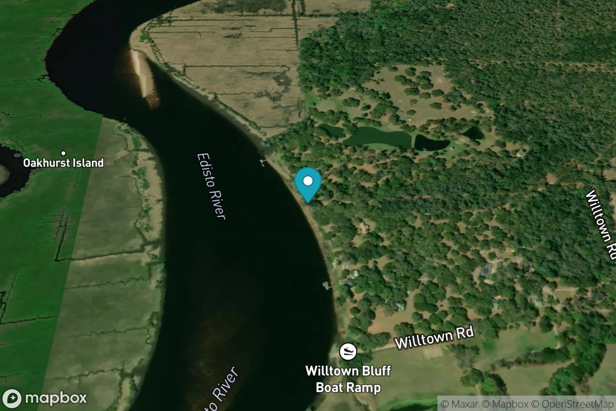
Willtown Bluff, Edisto River
Tide Predictions