NOAA Tidal Stations in U.S. Virgin Islands
Real-time tide data, water levels, and predictions from coastal stations
13
Total Stations
1
States/Territories
5
With Tide Predictions
4
With Water Temp
Loading...
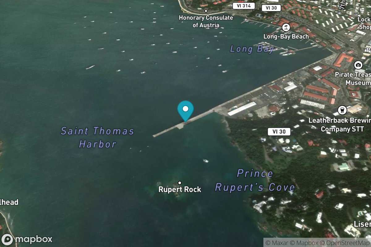
Charlotte Amalie
Tide Predictions
Water Temp
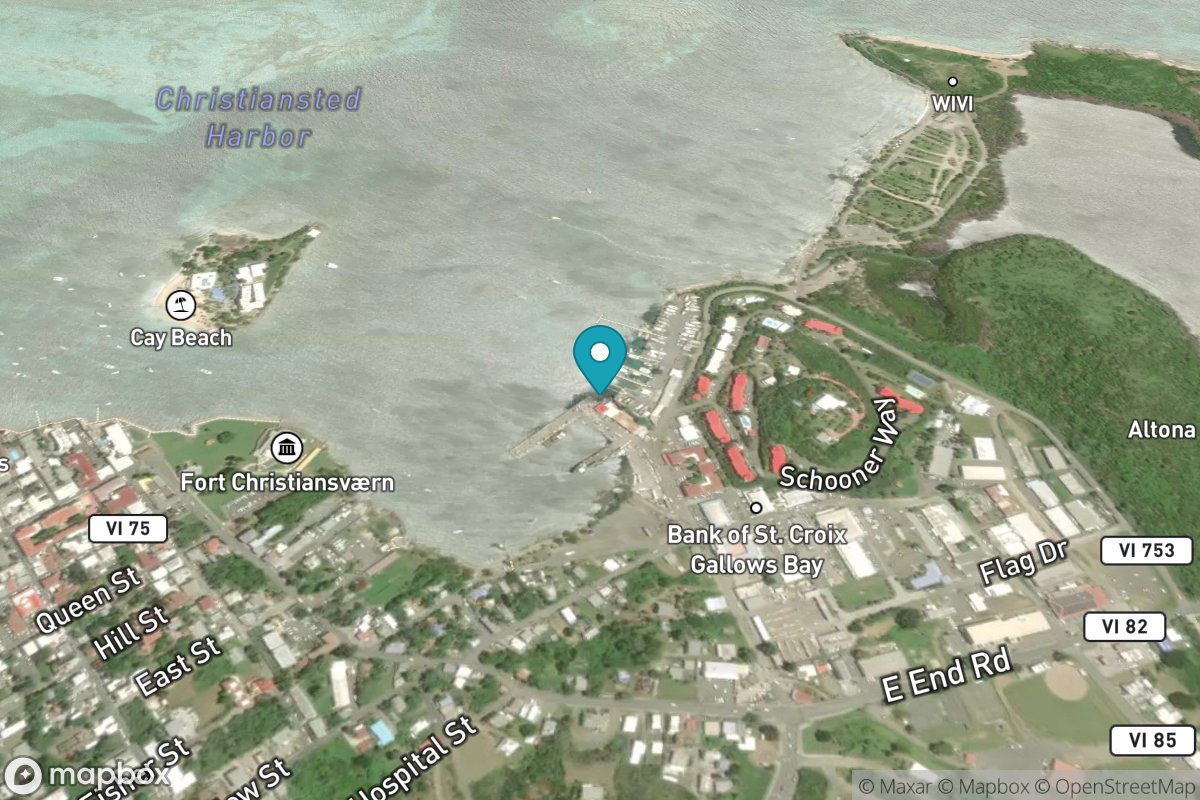
Christiansted Harbor, St Croix
Tide Predictions
Water Temp
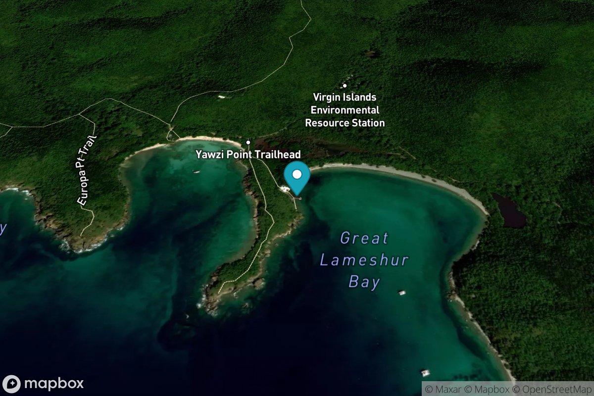
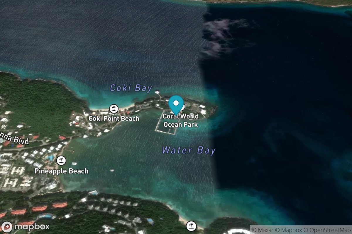
Lameshur Bay, St John
Tide Predictions
Water Temp
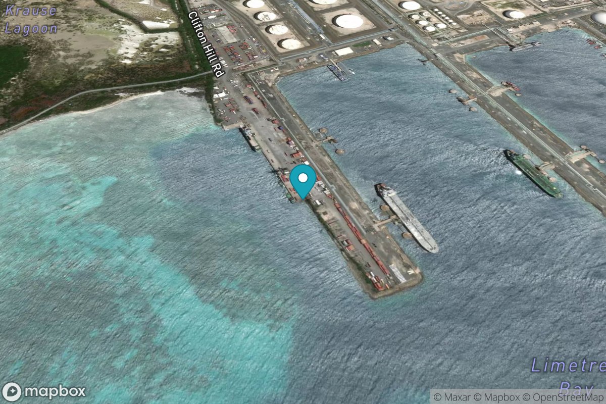
Limetree Bay
Tide Predictions
Water Temp
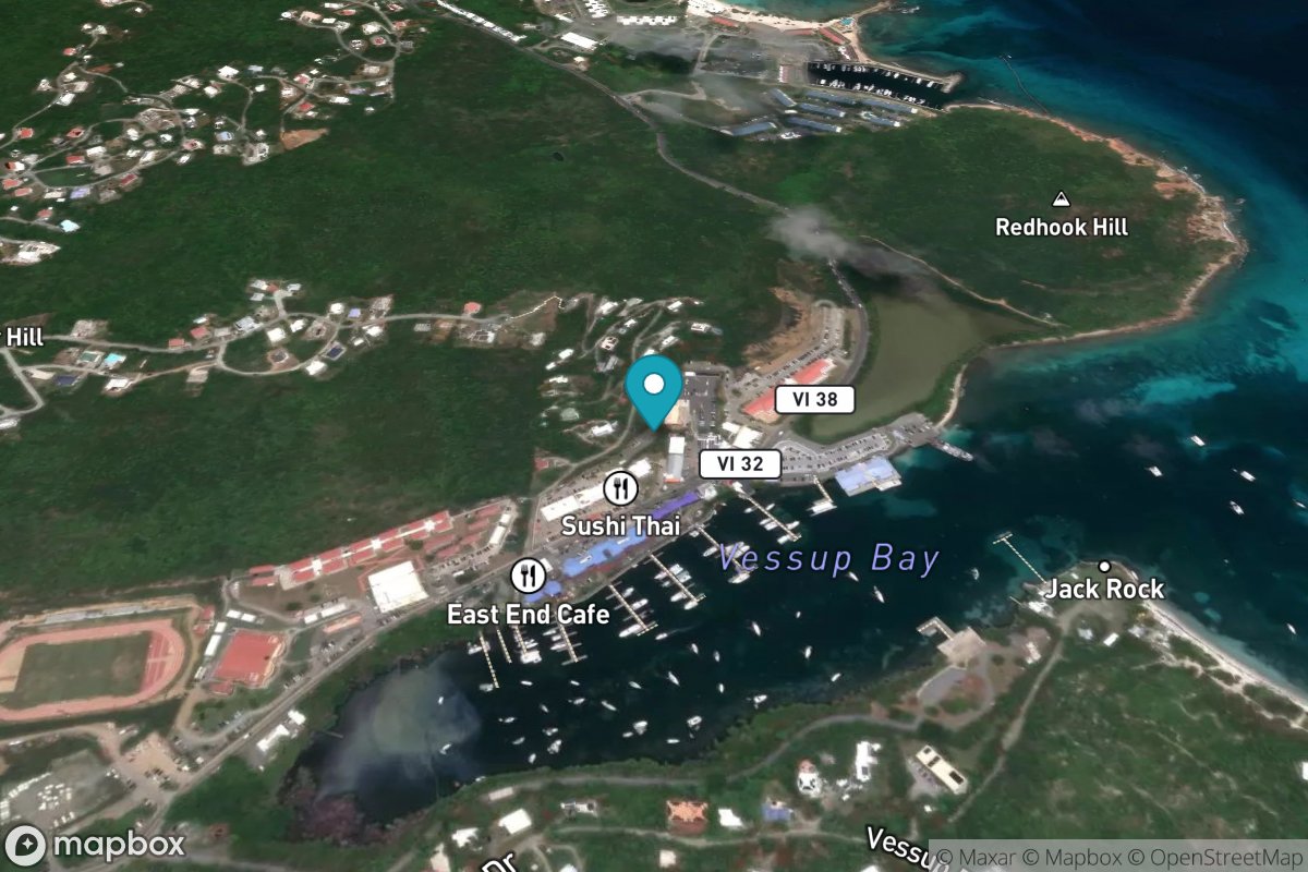
Redhook Bay, St. Thomas Island
Tide Predictions