Gauge Conditions
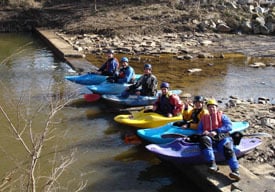
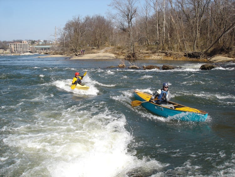
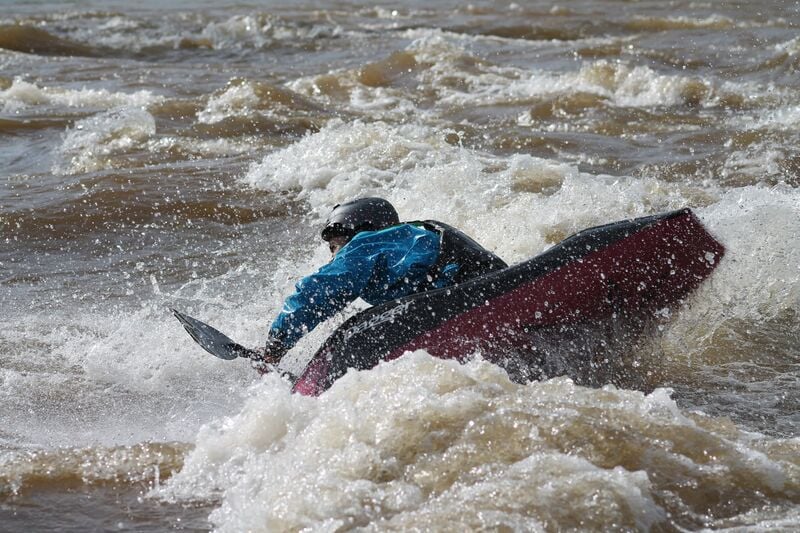
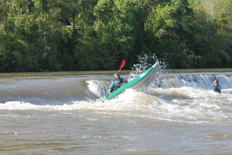
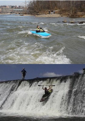
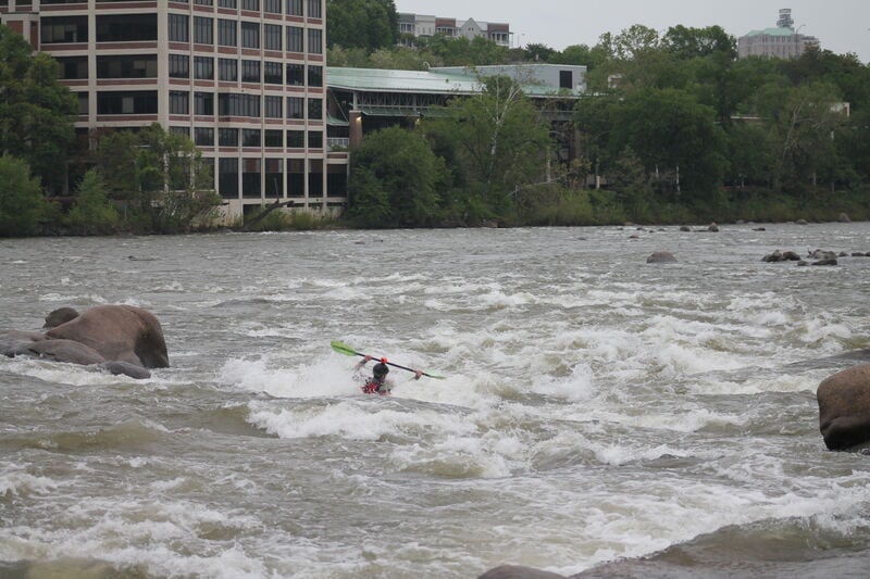
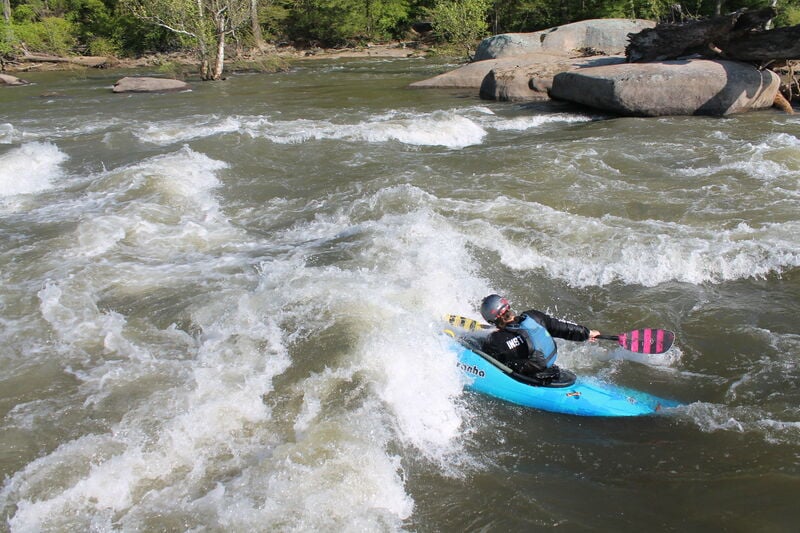
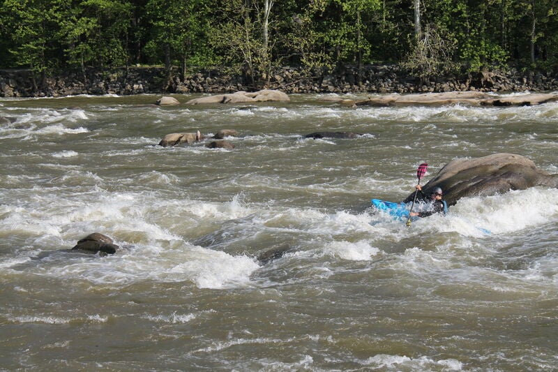
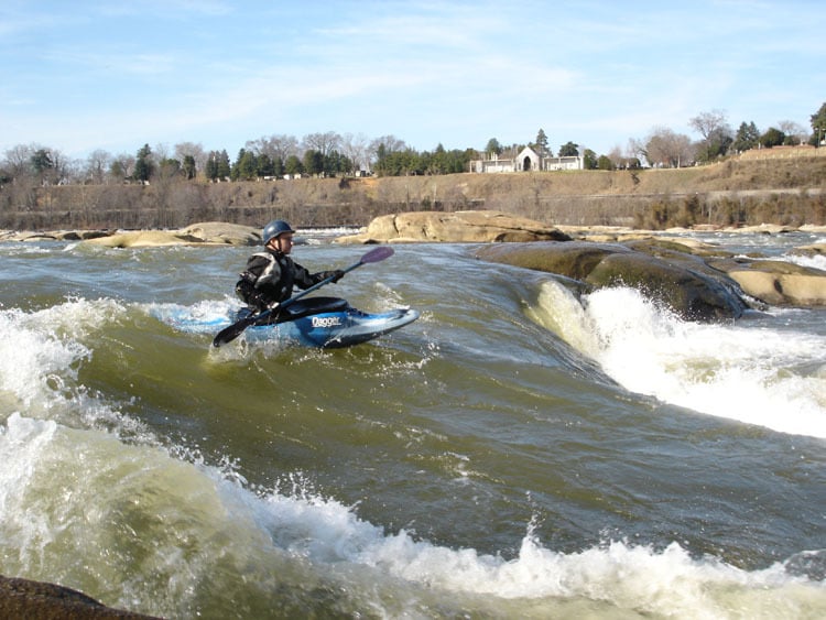
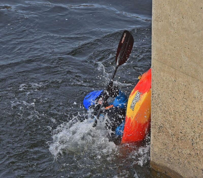
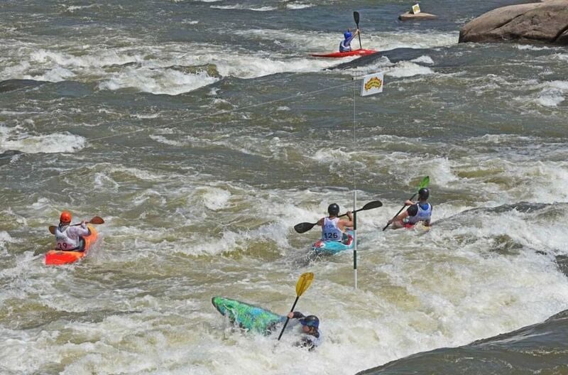
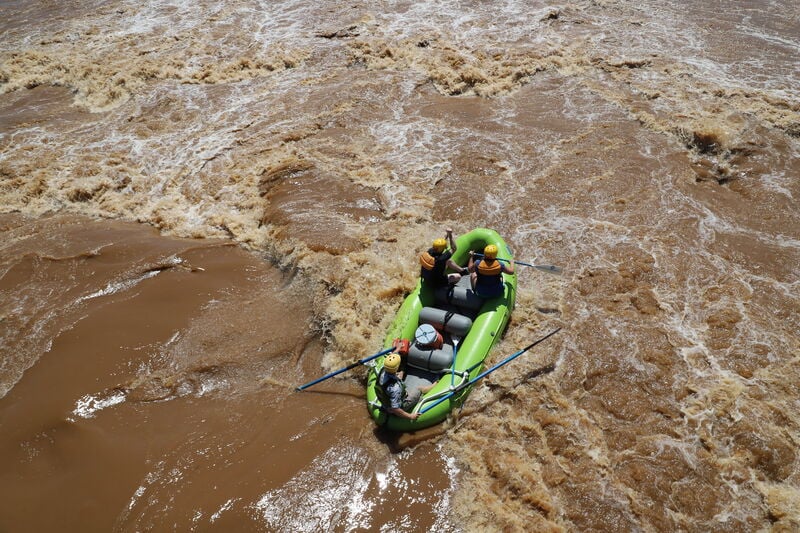
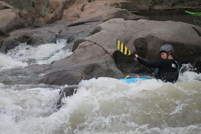
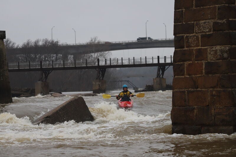
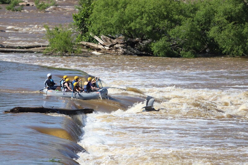
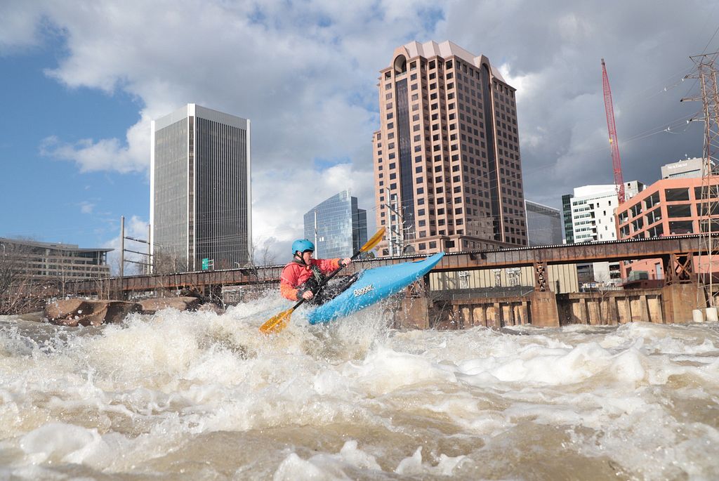
Photo
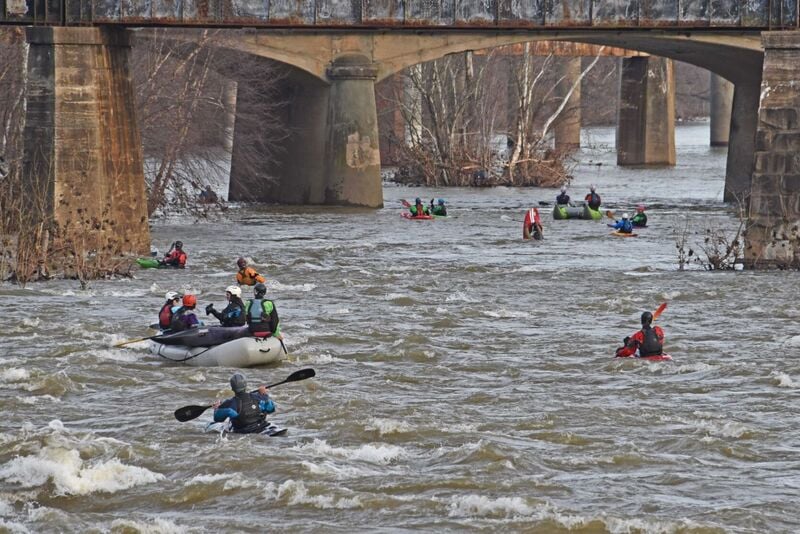
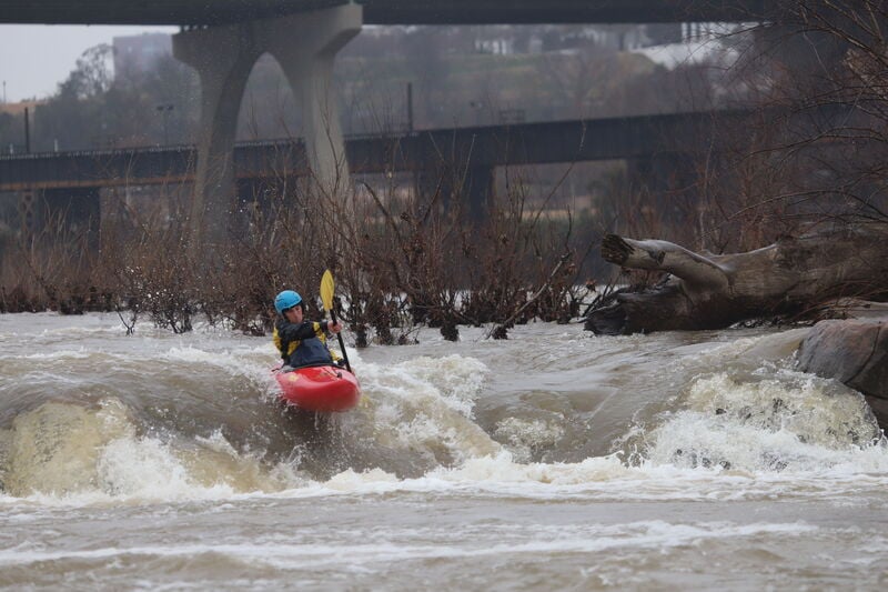
Description
There are two primary takeouts depending on which rapids you took in the bottom half. From Pipeline, Powerline, Powerdunk or Lulu, the takeout is the 14th St. Takeout. From Deception, Triple Drop or Southside, the takeout will most likely be Southside (river right), though it is possible at lower levels to paddle around Mayo island and upstream to the 14th St. takeout on river left.
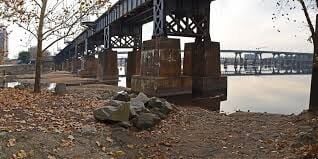
Directions to 14th St (Northside / river left) Takeout:
From I-95, take Maury St. exit 73. Turn right onto Maury St. Take the 2nd left onto East 2nd St. Turn right onto Hull St (14th St). Cross Mayo bridge. Look for a small brown "Whitewater Takeout" sign on the right in front of the concrete flood wall. Turn right onto the narrow road running parallel and on the river side of the flood wall. Park in the gravel lot at the end of the paved access road or in the grass along access road by the floodwall.
GPS Coordinates to parking lot: 37.531365, -77.431793
Location
Other Rapids on This Run (20)
 Rapid
N/A
Rapid
N/A
 Playspot
II
Playspot
II
 Playspot
II+
Playspot
II+
 Playspot
II
Playspot
II
 Rapid
III
Rapid
III
 Rapid
III
Rapid
III
 Playspot
II+
Playspot
II+
 Rapid
III+
Rapid
III+
 Waterfall
III+
Waterfall
III+
 Playspot
I
Playspot
I
 Rapid
N/A
Rapid
N/A
 Waterfall
III
Waterfall
III
 Rapid
III+
Rapid
III+
 Waterfall
III+
Waterfall
III+
 Rapid
III+
Rapid
III+
 Waterfall
III
Waterfall
III
 Playspot
III+
Playspot
III+
 Rapid
III+
Rapid
III+
 Rapid
III
Rapid
III
 Rapid
III+
Rapid
III+
Current Conditions
5-Day Forecast
American Whitewater