Rapid
VA
Access point - Pinnacle Natural Area
Big Cedar Creek - Lebanon (Route 727) to Clinch River (VA)
Gauge Conditions
Data from American Whitewater & USGS
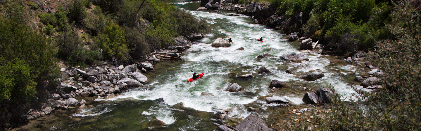
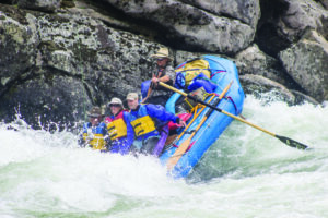
Photo
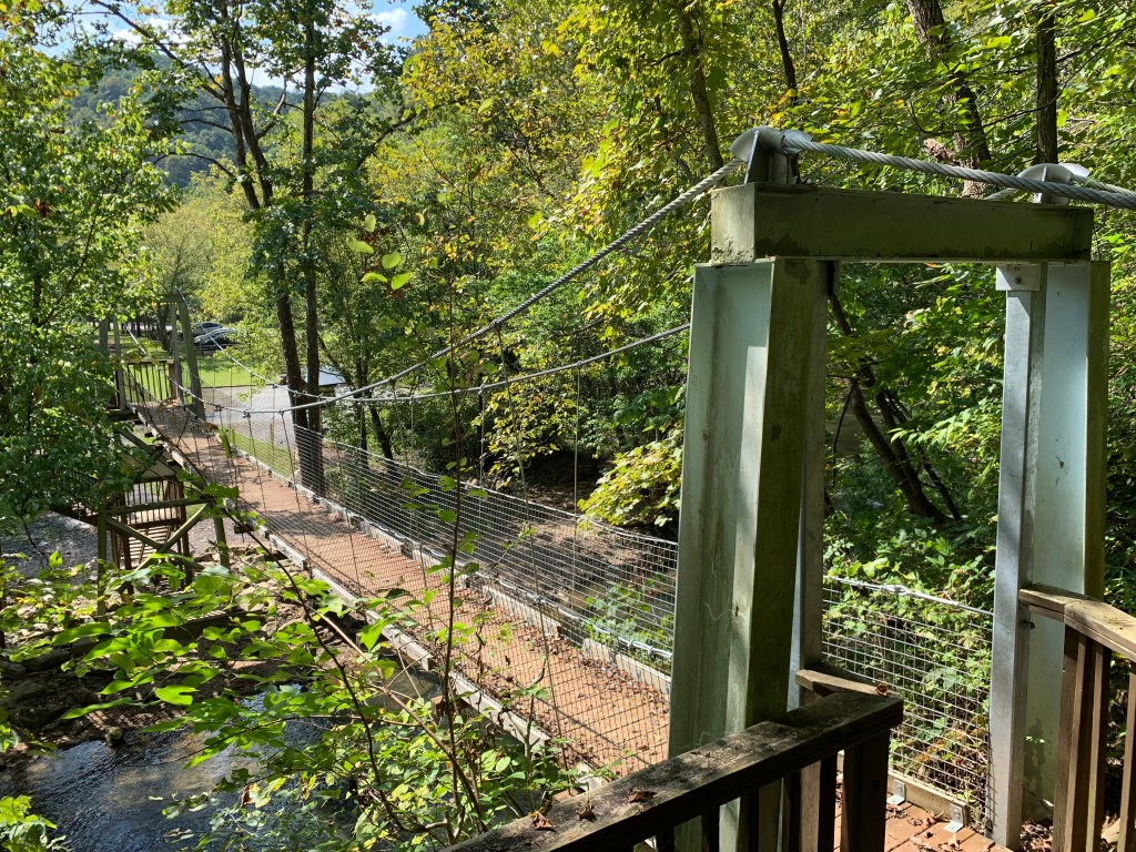
Photo courtesy of American Whitewater
Description
River right access at the Pinnacle Natural Area, operated by the Virginia Department of Conservation and Recreation. Trailhead at the swinging bridge, picnic tables, toilet, parking. From the trails, there are good views of Spring Falls, Big Falls, and the Clinch confluence.
Location
Other Rapids on This Run (5)
View Full Run
Lebanon (Route 727) to Clinch River
Big Cedar Creek
I-III
7.2 mi
Current Conditions
5-Day Forecast
Whitewater data from
American Whitewater
American Whitewater