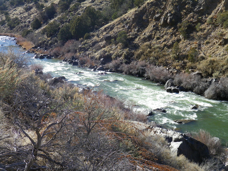
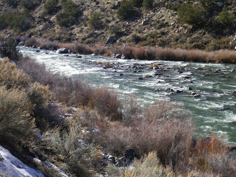
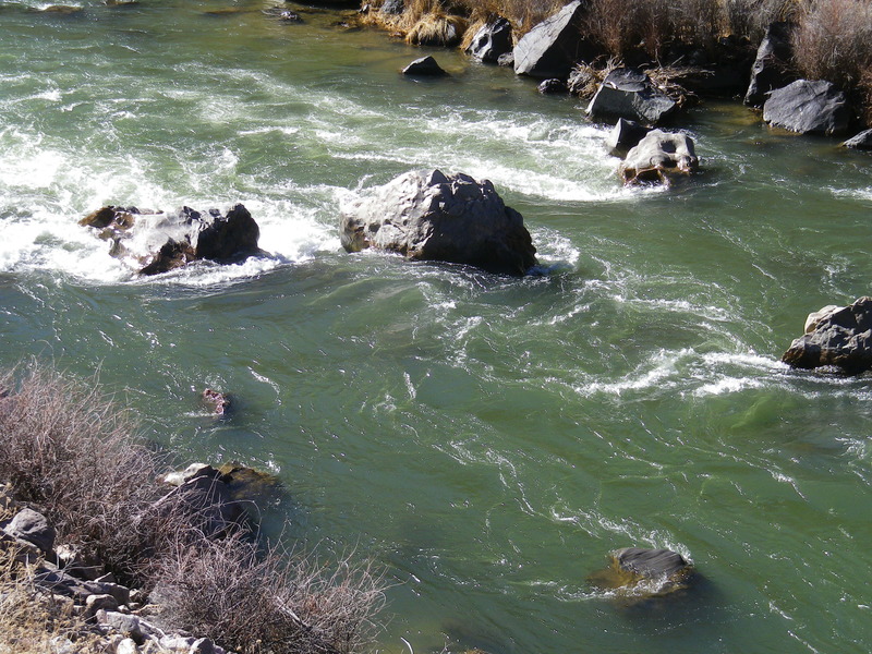
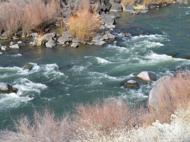
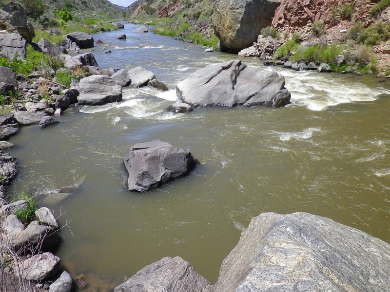
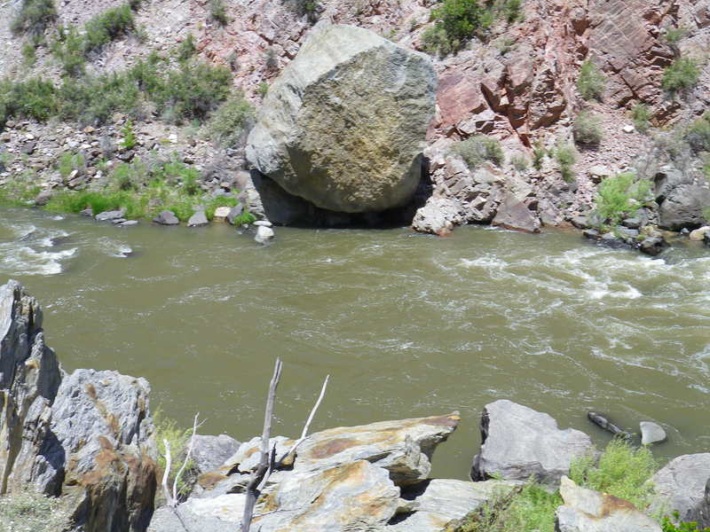
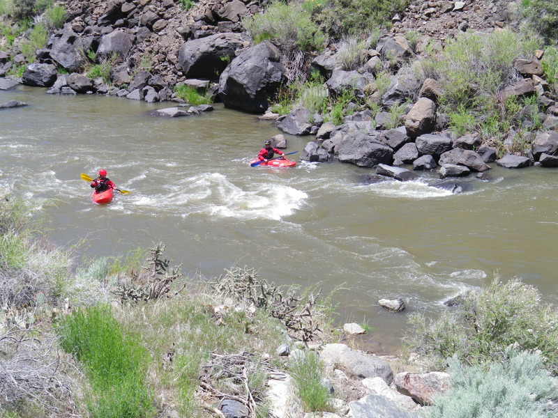
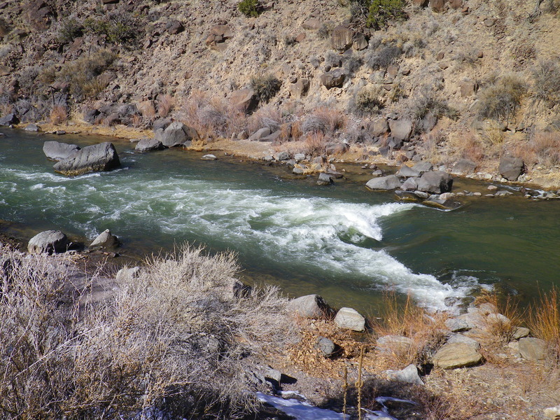
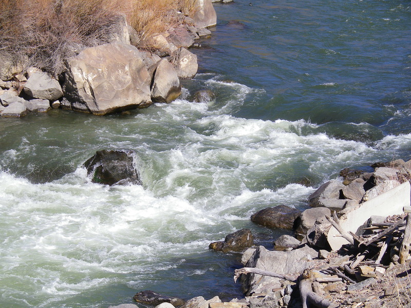
Albert Falls
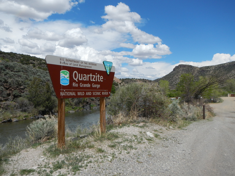
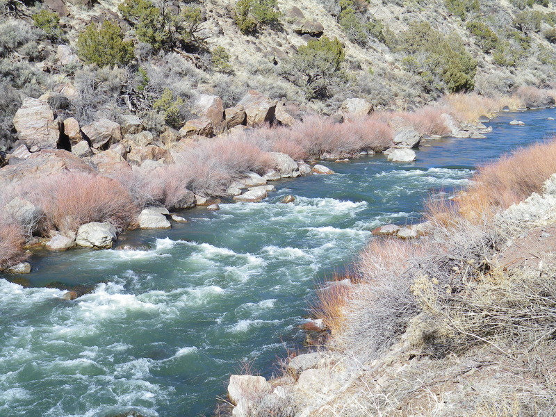
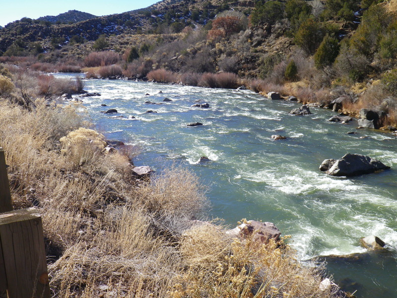
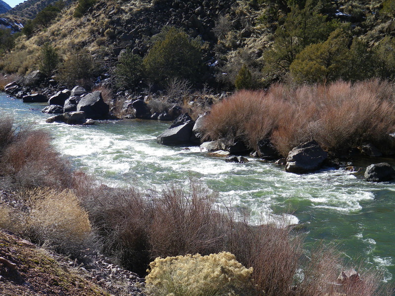
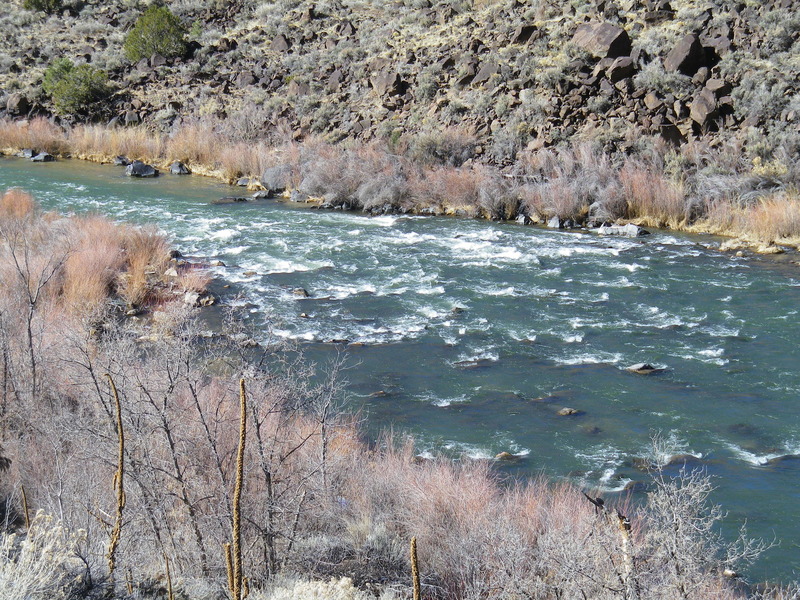
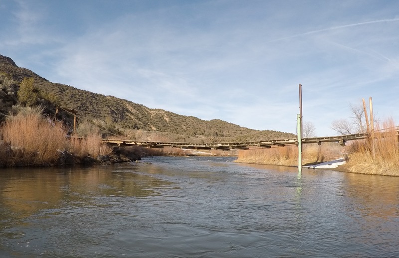
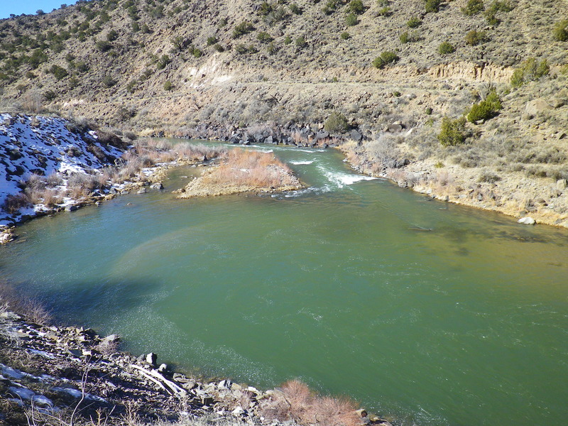
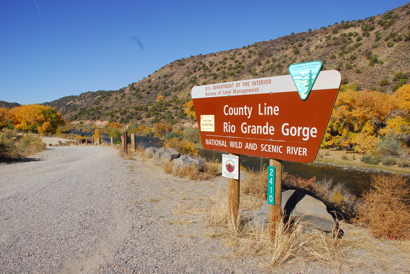
Rio Grande - 07. Quartzite River Access to County Line River Access (NM)
Gauge Conditions
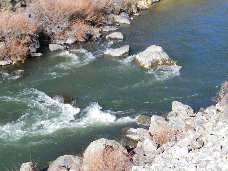
Flows of 250 cfs are ok for floating from sleeping beauty to Souse hole without dragging.
Photo
Description
Purportedly named for Albert Einstein in the 1950s by kayakers who worked at the Los Alamos National Laboratory. At moderate flows the rapid is entered left of center, just left of a large pour over. The curling wave at the bottom of the first drop is a lateral wave, and boaters usually square up to the wave by pointing the front of their boat slightly towards the left shore. Boat Eater hole is located right of center and can give an unwary craft a wild ride for a good while. At higher flows (around 2500 cfs) Albert Falls is considered class IV and the lateral below the first drop becomes massive; at this level Albert's is a mandatory scout. There is a tricky sneak run along the right shore (and to the right of Boat Eater). At low water (below 300 cfs) the middle run is usually not an option, and boaters typically work along the right shore then over a drop that takes them across the river toward the left shore. From there boaters usually remain mostly left of center over the smaller drops; after the last of these pull boaters usually hard to the right of center to miss the midstream boulders. At extremely low flows the top of the right side of the rapid is blocked partially by shallow rocks; at these levels boaters often enter the rapid on river left just downstream of these rocks, cutting across currents and eddies (between these upstream rocks and the downstream impassable upper falls) to get to the main entrance near the right shore. The rapid is easily scouted from a turnout on the road on river left.
Location
Other Rapids on This Run (18)
 Rapid
N/A
Rapid
N/A
 Rapid
II
Rapid
II
 Rapid
III
Rapid
III
 Rapid
III
Rapid
III
 Rapid
II+
Rapid
II+
 Rapid
III
Rapid
III
 Rapid
III
Rapid
III
 Rapid
III
Rapid
III
 Rapid
III
Rapid
III
 Rapid
II+
Rapid
II+
 Hazard
N/A
Hazard
N/A
 Rapid
III
Rapid
III
 Rapid
N/A
Rapid
N/A
 Rapid
II
Rapid
II
 Playspot
III
Playspot
III
 Playspot
III
Playspot
III
 Rapid
II+
Rapid
II+
 Rapid
N/A
Rapid
N/A
Current Conditions
5-Day Forecast
American Whitewater