Take-out
MD
Alt. Take-out - Benjamin Bridge River Access
Deer Creek - 4. Walters Mill River Access to Sandy Hook Rd./Deer Creek Conservation Area (MD)
Gauge Conditions
Data from American Whitewater & USGS
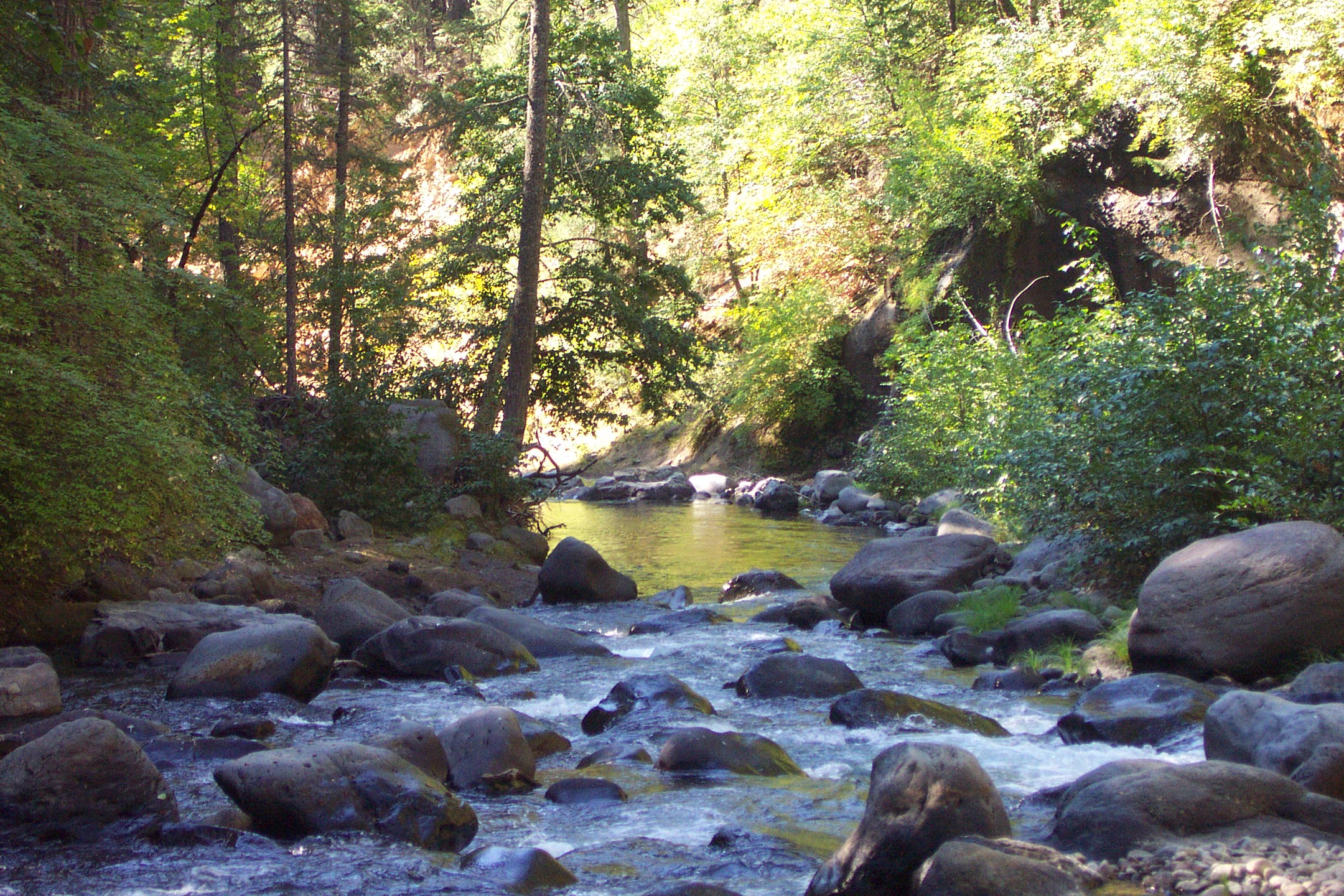
Photo
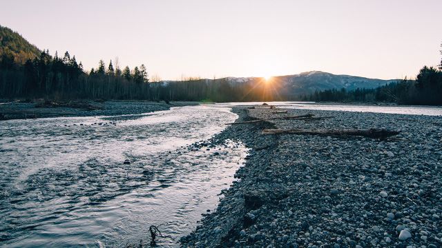
Photo courtesy of American Whitewater
Description
Alt. Take-out - Benjamin Bridge River Access. If you'd like a little longer 6.1 mile run (no additional rapids), another take-out is at the Benjamin Bridge River Access just off of US-1. The takeout is well maintained and not usually muddy.
Location
View Full Run
4. Walters Mill River Access to Sandy Hook Rd./Deer Creek Conservation Area
Deer Creek
I-II
4.3 mi
Current Conditions
5-Day Forecast
Whitewater data from
American Whitewater
American Whitewater