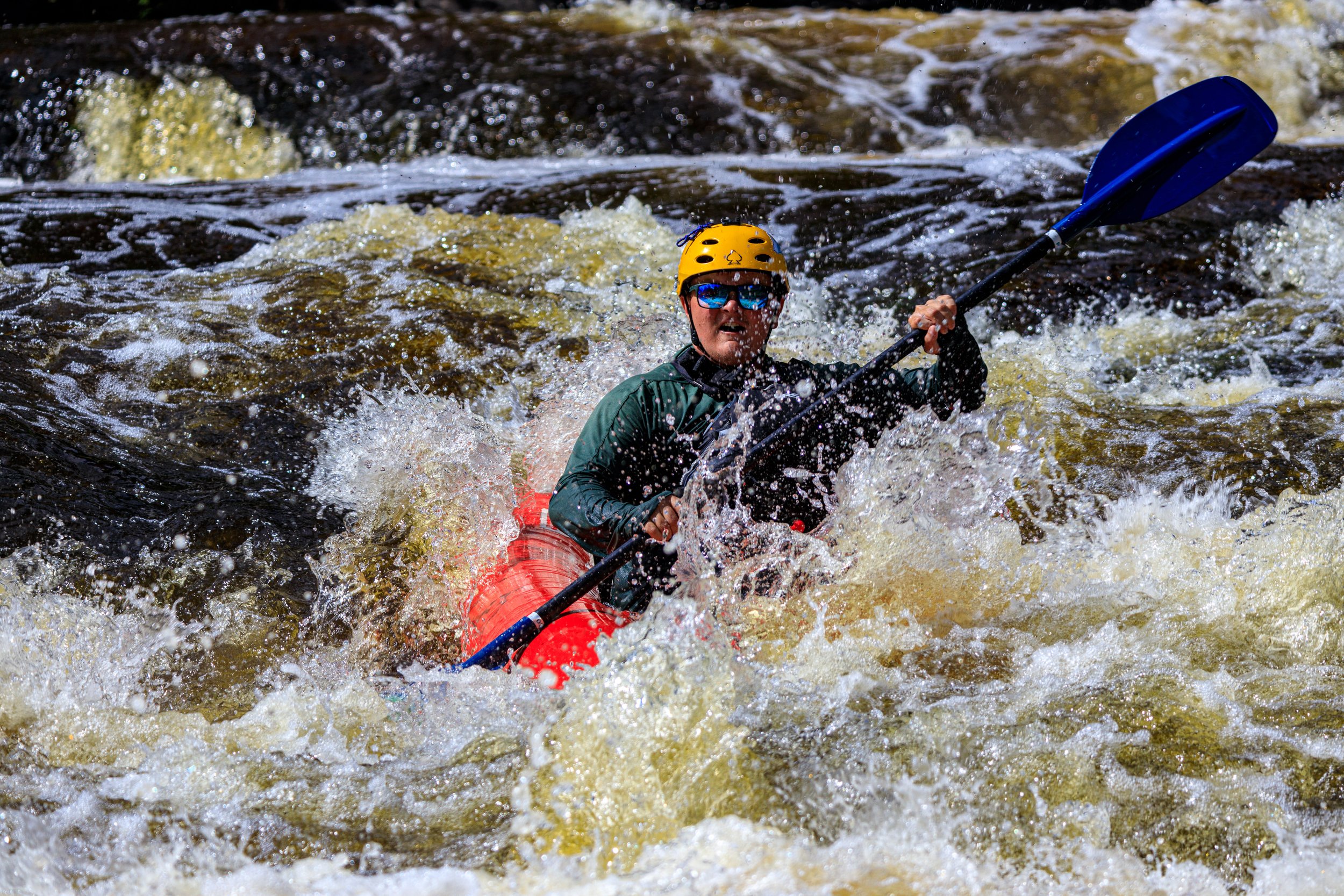
Apparent rapids/shoals #4
Pine (Eastern UP) - A) W.Prairie Road to S.River Road (3.25 miles) (MI)
Gauge Conditions
Likely too low for true whitewater trip. (Shoals/rapids will be a scrape.) We need your input. Add a comment or report regarding flows.
Description
(From GoogleMaps aerial view) It appears there may be a brief rock/rubble shoals in this area. At low water, expect to scrape. At moderate flows, there may be fine riffles/rips/waves. At higher flows this will likely just 'wash out' and not create any real whitewater features.
***IF*** permission has been obtained from private property owner on river-left here, this would be the take-out for the shortest trip, focusing on the areas with known (apparent) shoals/rips/rapids. In that event, take-out would be before a (fairly decent sized) side creek enters on the left.
Lacking permission to park and exit at this private property, it will be necessary to continue some miles downriver to either the next public road access or to some other private property (with appropriate permission secured).
Location
Current Conditions
5-Day Forecast
American Whitewater