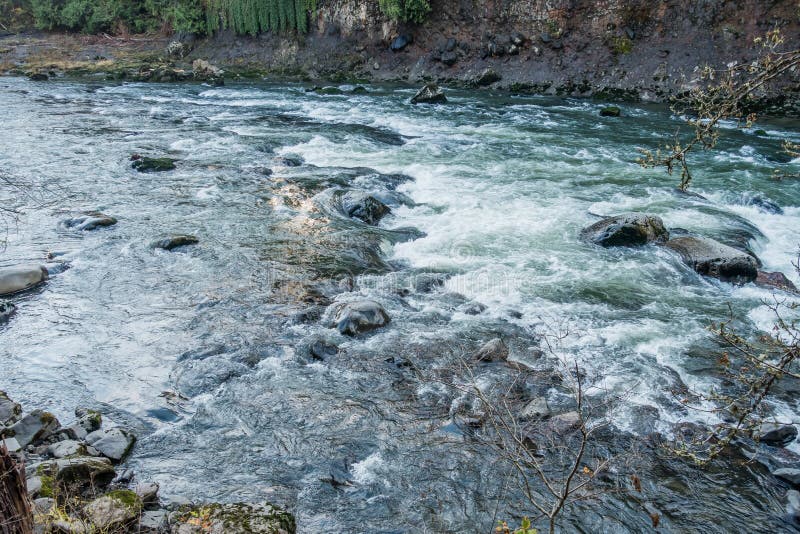
Rapid
AR
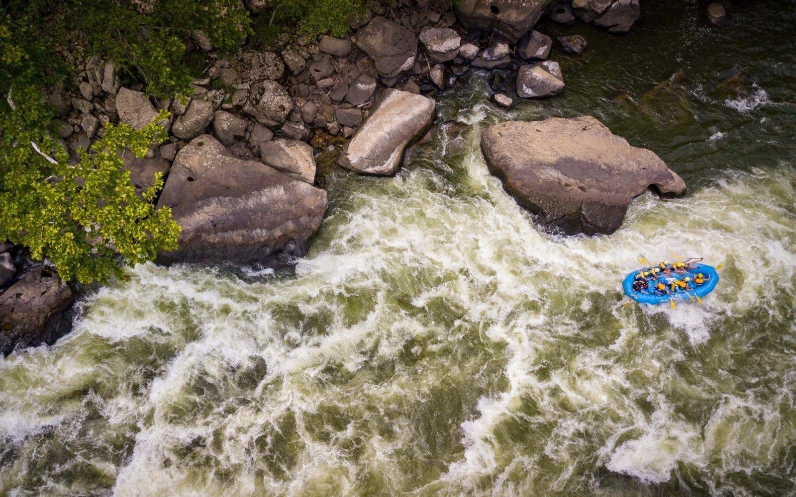
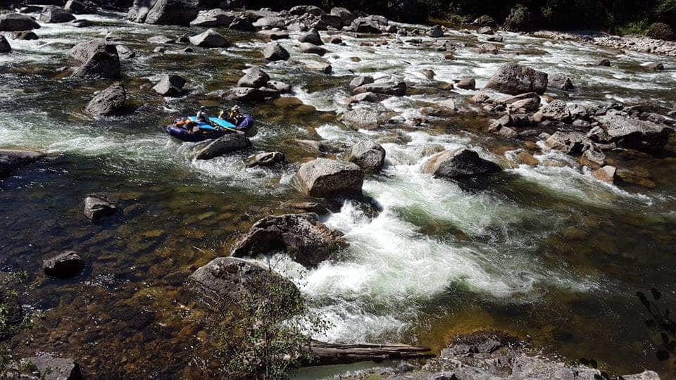
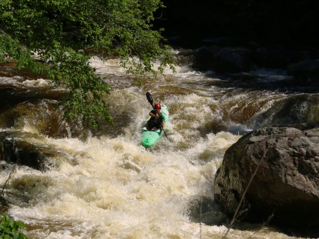
Bailey Cole Confluence
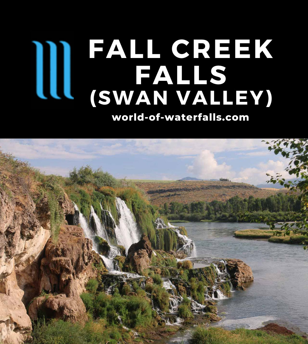
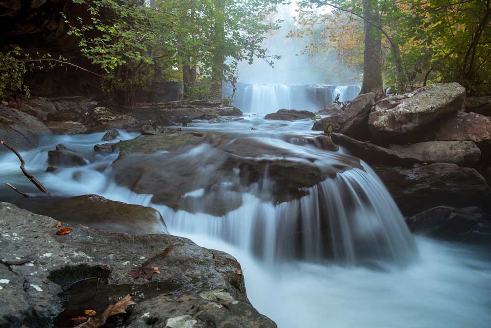
Falling Water Creek - Falling Water Falls to Richland Campground (7 miles) (AR)
Gauge Conditions
Data from American Whitewater & USGS
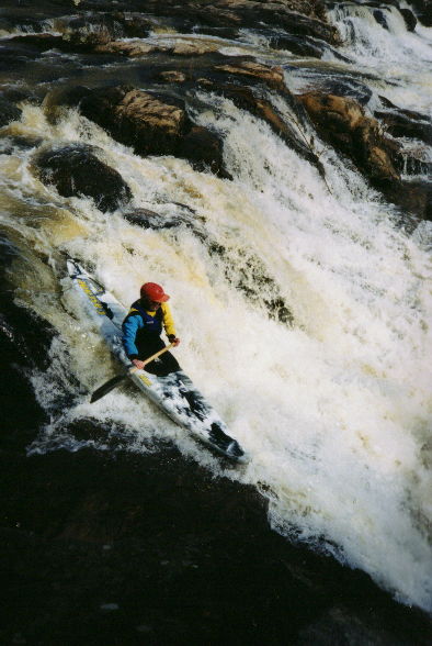
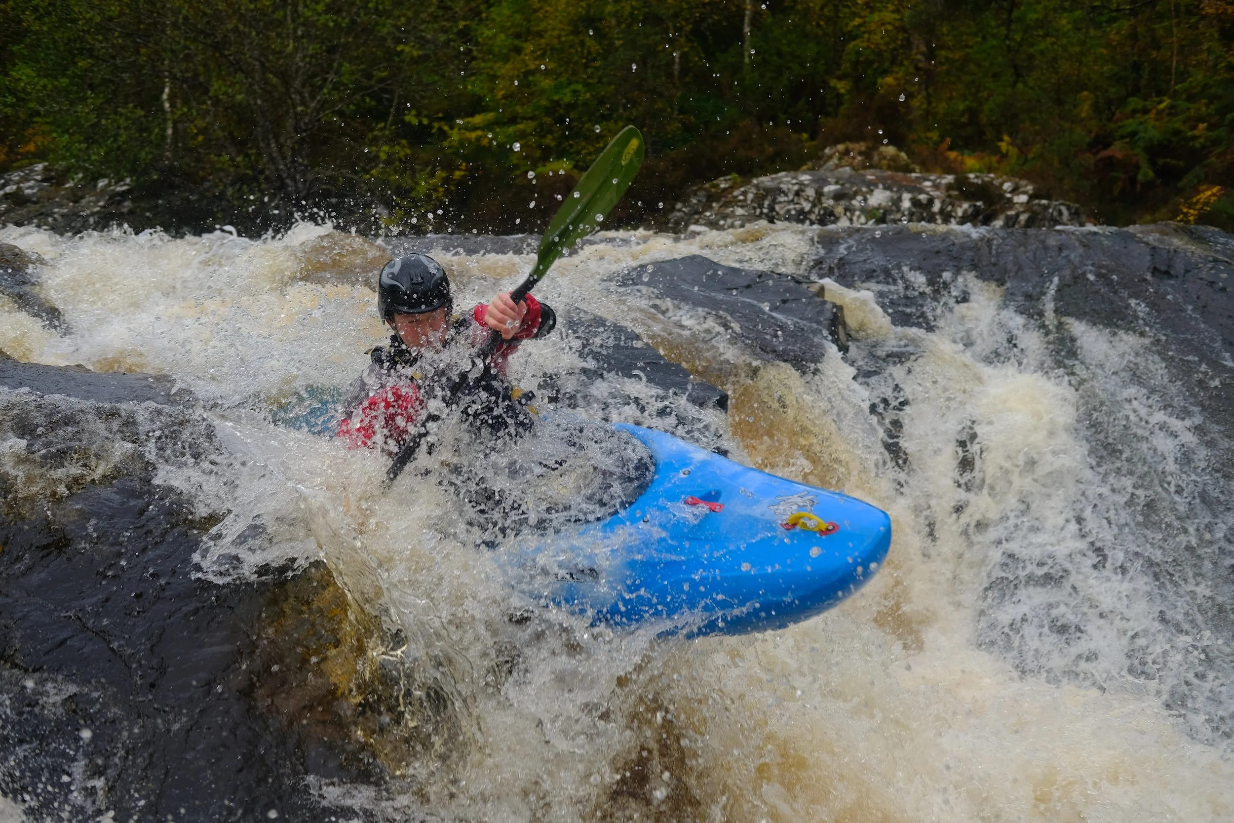
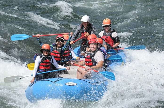
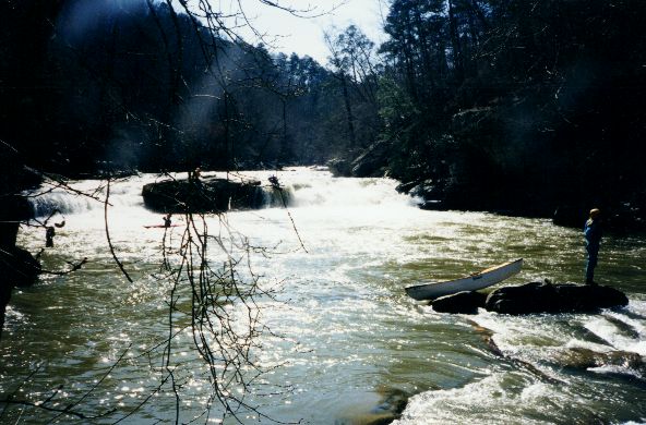
Photo
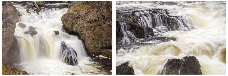
Photo courtesy of American Whitewater
Description
Alternate access below the upper gorge is available near the confluence with Bailey Cole Creek via some primative camp sites along the road. Some nice surf spots are located below here.
Location
Other Rapids on This Run (12)
View Full Run
Falling Water Falls to Richland Campground (7 miles)
Falling Water Creek
II-III+(IV)
7.2 mi
Current Conditions
5-Day Forecast
Whitewater data from
American Whitewater
American Whitewater