How's Your
River
×
Explore
Explore Map
Water Bodies
Gauges
Access Sites
Tidal Stations
Whitewater
Pricing
Login
Sign Up
Hazard Warning:
Hazard information may be user-submitted and unverified. Conditions change frequently. Always scout rapids and obstacles yourself.
Whitewater
Kentucky
Cloverlick Creek - Trace Branch to Poor Fork of the Cumberland (4 miles)
Baptized
Put-in
KY
Class II+
Baptized
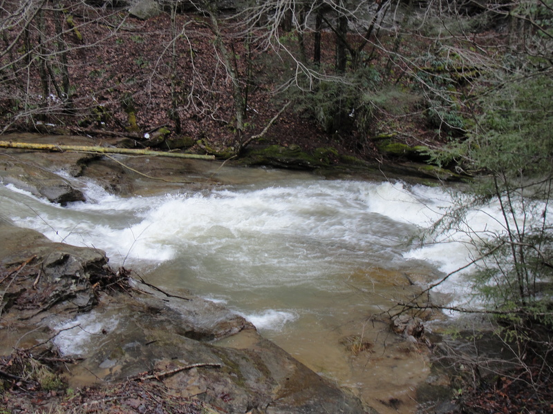
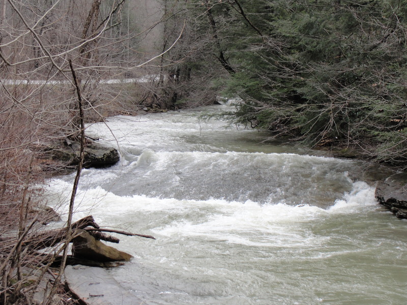
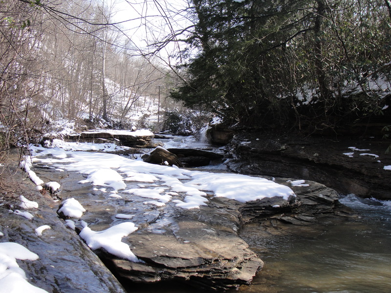
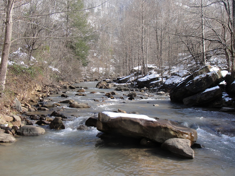
Cloverlick Creek - Trace Branch to Poor Fork of the Cumberland (4 miles) (KY)
Monitor this Rapid
This Run
Map
Other Rapids
Gauge
Weather
Directions
Gauge Conditions
Poor Fork at Cumberland, KY
Downstream
Primary
Runnable: 600.0 – 1,000.0 CFS
Data from
American Whitewater
&
USGS
Photo
Photo courtesy of
American Whitewater
Location
Radar
Counties
Cell
Verizon
AT&T
T-Mobile
Dark
Satellite
Terrain
Other Rapids on This Run (5)
Rapid
III
Double Wide Slides
0.3 mi
Rapid
IV
Squeeze
0.4 mi
Rapid
IV
The Drag Strip
2.0 mi
Rapid
II+
School's for Fools
2.4 mi
Rapid
III
Billips Bridge Rapid
4.0 mi
Type
Put-in
Difficulty
Class II+
Mile Marker
0.0 mi
Directions
Navigate
View Full Run
Trace Branch to Poor Fork of the Cumberland (4 miles)
Cloverlick Creek
II(IV)
3.7 mi
Current Conditions
5-Day Forecast
Whitewater data from
American Whitewater
Baptized