Gauge Conditions
Almost certainly too low. Help your fellow boaters! We need input to fine-tune boatable levels. Add a comment or report!
Almost certainly too low for whitewater run. (We need your input! Add a report to help define/refine these ranges.)
Likely too low for reasonable whitewater trip. (We need your input to help refine ranges here! Add a comment or report about recommended flows!)
Description
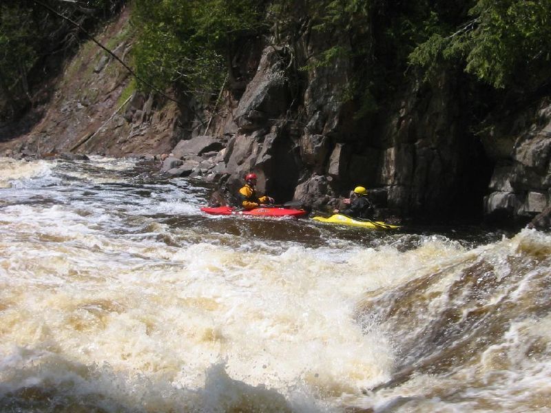
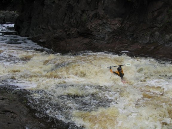
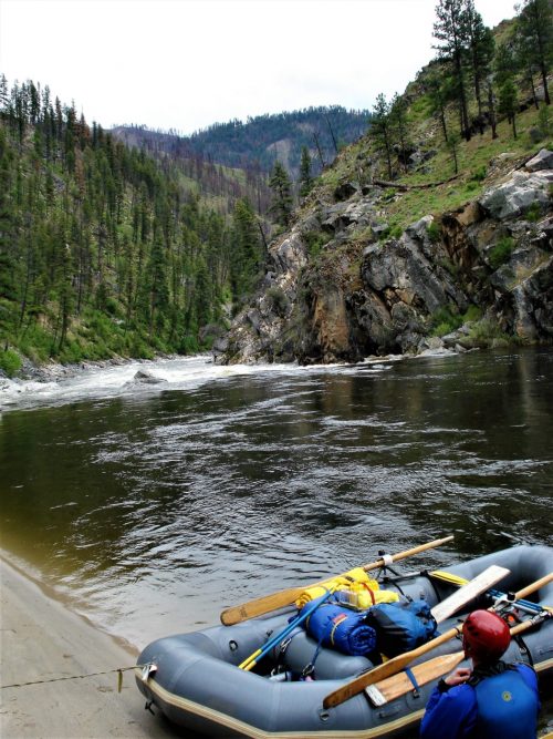
About a quarter-mile into the light rapids, a large rock splits the flow, with a bit of a ledge/drop either side. Passage is possible either side, but you'll likely want to give the rock wide berth, as it forms a sticky hole at some flows. This rock also serves as your signal that 'The Canyon' lies just ahead, with the two meatiest drops of the run: Triple Drop and Nakomis.
Location
Current Conditions
5-Day Forecast
American Whitewater