Gauge Conditions
Data from American Whitewater & USGS

View Full Run
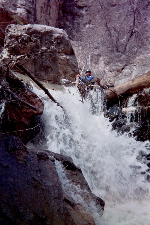
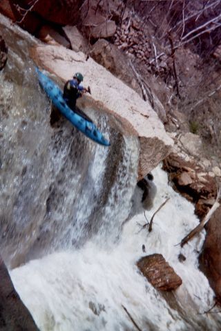
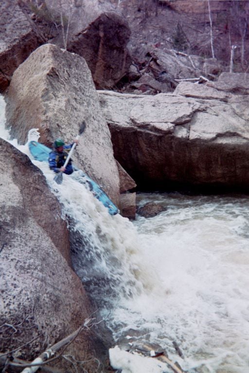
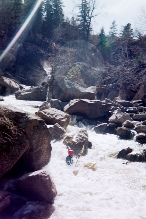
Tin Lizzies to Whitewood (9 miles)
Whitewood Creek
III+(V+)
11.4 mi
Current Conditions
5-Day Forecast
Whitewater data from
American Whitewater
American Whitewater