How's Your
River
×
Explore
Explore Map
Water Bodies
Gauges
Access Sites
Tidal Stations
Whitewater
Pricing
Login
Sign Up
Hazard Warning:
Hazard information may be user-submitted and unverified. Conditions change frequently. Always scout rapids and obstacles yourself.
Whitewater
Maryland
Savage - 2. Savage Dam to North Branch Potomac River
Bridge Put-in
Put-in
MD
Bridge Put-in
Savage - 2. Savage Dam to North Branch Potomac River (MD)
Monitor this Rapid
Water Body
This Run
Map
Other Rapids
Gauge
Weather
Directions
Gauge Conditions
Savage Riv below Savage Riv DAM near Bloomington, MD
Upstream
Primary
Runnable: 250.0 – 1,800.0 CFS
Data from
American Whitewater
&
USGS
Description
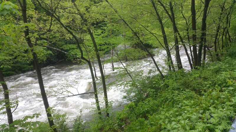
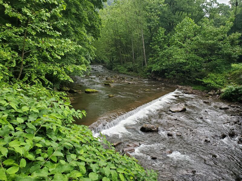
Typical put in location, just upstream of the Savage River Rd bridge (second when going upstream) by the camping and parking area. USGS gauge is located at the end of rapid below the putin and above the bridge
Location
Radar
Counties
Cell
Verizon
AT&T
T-Mobile
Dark
Satellite
Terrain
Other Rapids on This Run (9)
Rapid
N/A
Upper put-in
-0.4 mi
Rapid
N/A
Swinging Bridge Dam
0.9 mi
Rapid
N/A
Crisscross / Double Hole
1.2 mi
Rapid
N/A
Triple Drop / Memorial Rock
1.4 mi
Rapid
N/A
Hutch's Demise
1.9 mi
Hazard
N/A
Bridge
3.3 mi
Rapid
N/A
Island 1
3.9 mi
Rapid
N/A
Island 2
4.1 mi
Rapid
N/A
Release Takeout
4.3 mi
Type
Put-in
Difficulty
Class N/A
Mile Marker
0.0 mi
Directions
Navigate
View Full Run
2. Savage Dam to North Branch Potomac River
Savage
III-IV
4.4 mi
Current Conditions
5-Day Forecast
Whitewater data from
American Whitewater
Bridge Put-in