Gauge Conditions
Runnable: 400.0 – 3,000.0 CFS
Upper limit for best boatability uncertain. Please help your fellow boaters with a comment or report.
Data from American Whitewater & USGS
Photo
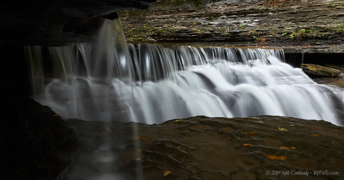
Photo courtesy of American Whitewater
Description
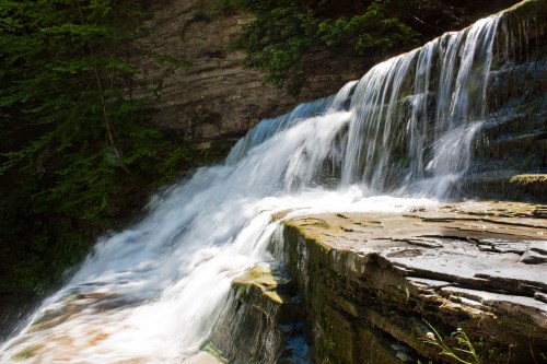
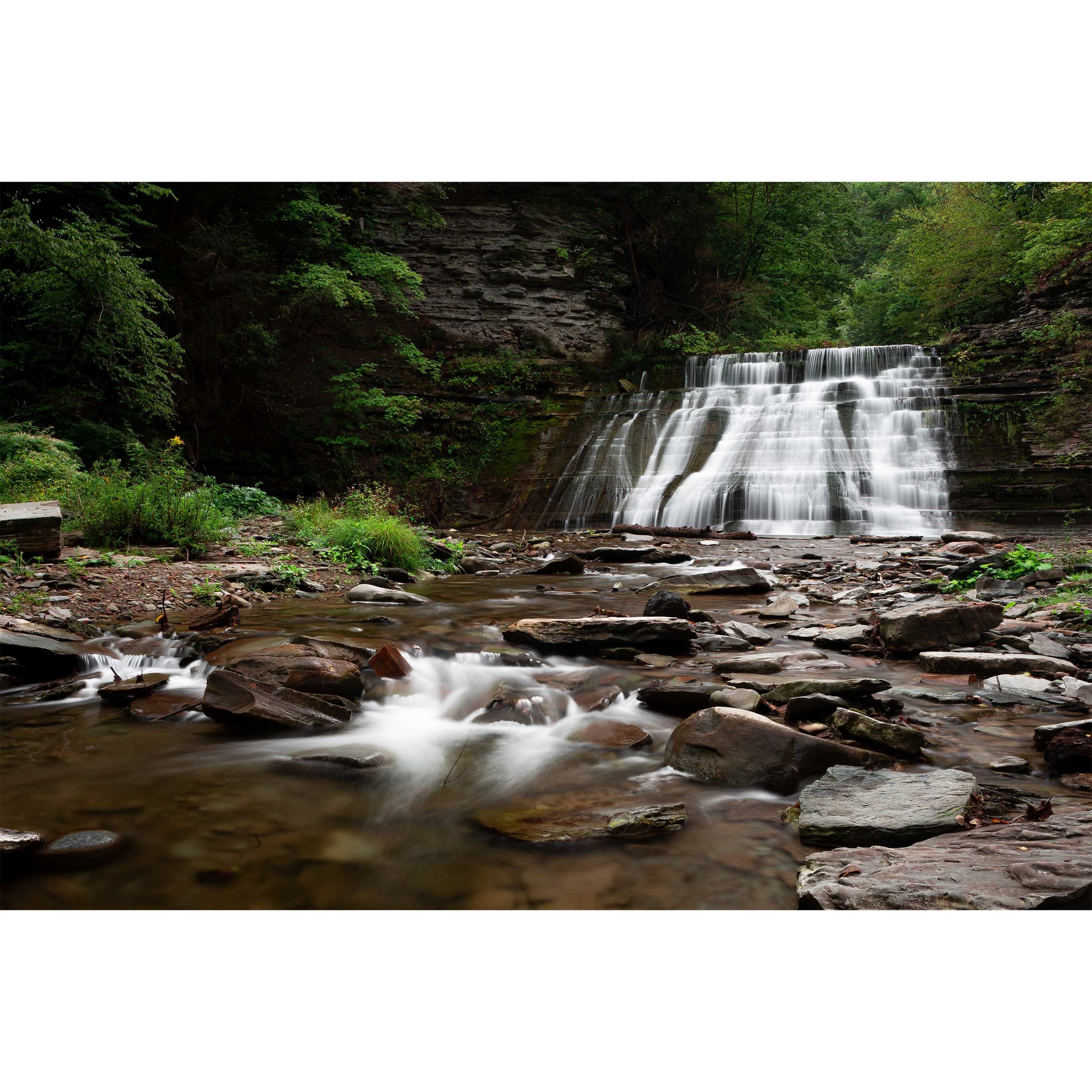
This is the first big drop. Get out and scout on what remains of the dam. The dam is made out of large rock slabs and concrete. There is a break on the left side of the dam. The water drops approximately 3' vertically then another 3' over a 30' distance as it curves from left to right. This channel is very narrow even in high water. What makes it more difficult are a pair of boulders in the middle of the channel halfway through. These force the paddler to the outside wall. Always scout this drop since debris occasionally lodges in the channel. Boat scouting is difficult because it drops steeply around the corner of the dam. Immediately below the dam there is a small 2' ledge under the railroad bridge.
Location
Other Rapids on This Run (5)

View Full Run
2) Route 31 to Wilton
Stony Brook
III-IV
1.1 mi
Hazard — Exercise extreme caution. Portage recommended — scout before running.
Current Conditions
5-Day Forecast
Whitewater data from
American Whitewater
American Whitewater