How's Your
River
×
Explore
Explore Map
Water Bodies
Gauges
Access Sites
Tidal Stations
Whitewater
Pricing
Login
Sign Up
Hazard Warning:
Hazard information may be user-submitted and unverified. Conditions change frequently. Always scout rapids and obstacles yourself.
Whitewater
Maine
Pleasant, W. Branch - Bear Brook to Long Pond Road (Gulf Hagas)
Buttermilk Falls
Waterfall
ME
Class IV
Buttermilk Falls
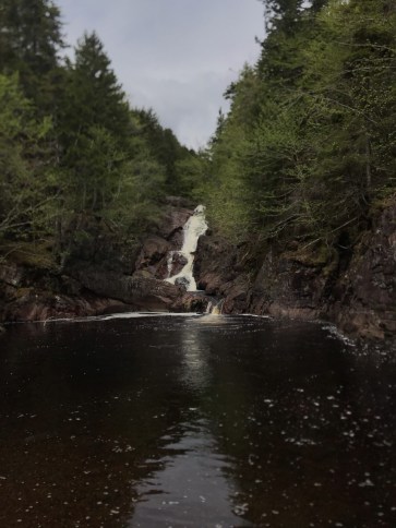
Pleasant, W. Branch - Bear Brook to Long Pond Road (Gulf Hagas) (ME)
Monitor this Rapid
Water Body
This Run
Map
Other Rapids
Gauge
Weather
Directions
Gauge Conditions
Piscataquis River at Blanchard, Maine
Upstream
Primary
Runnable: 200.0 – 800.0 CFS
Data from
American Whitewater
&
USGS
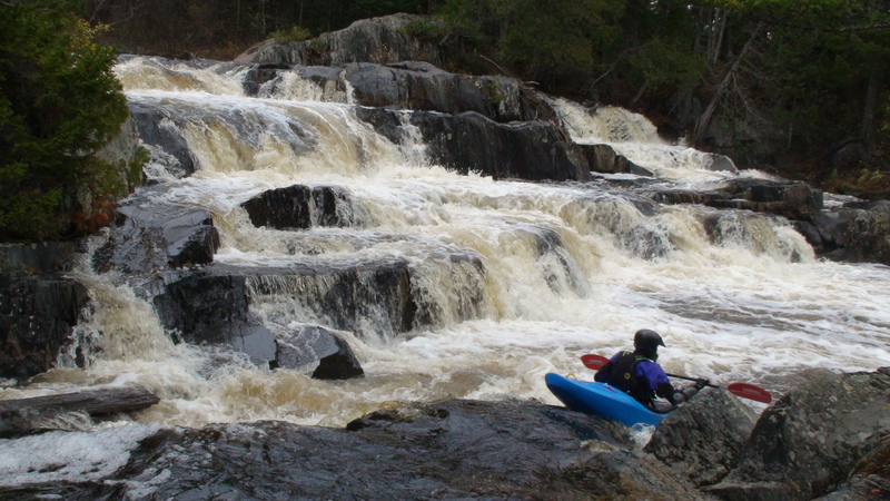
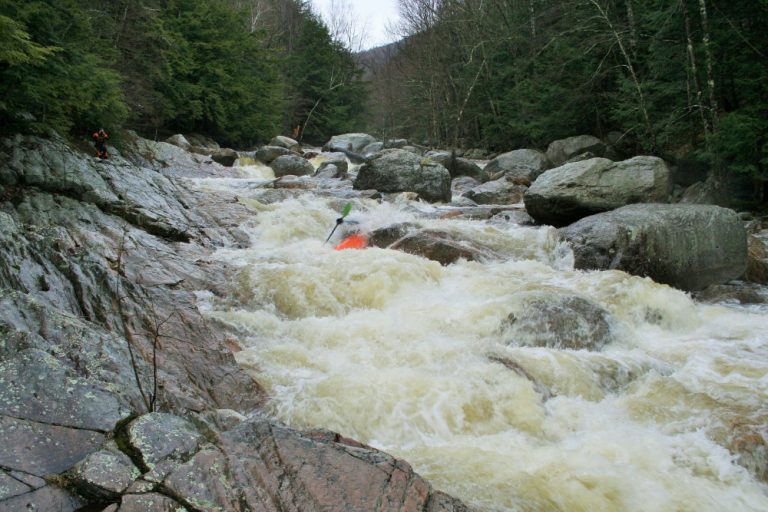
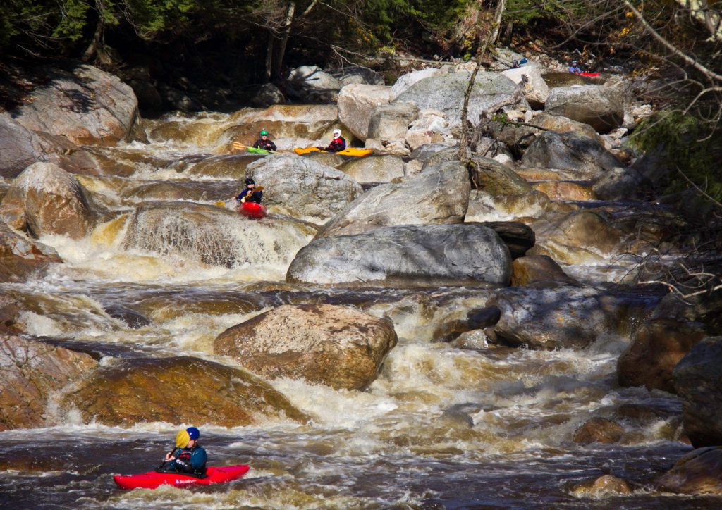
Photo
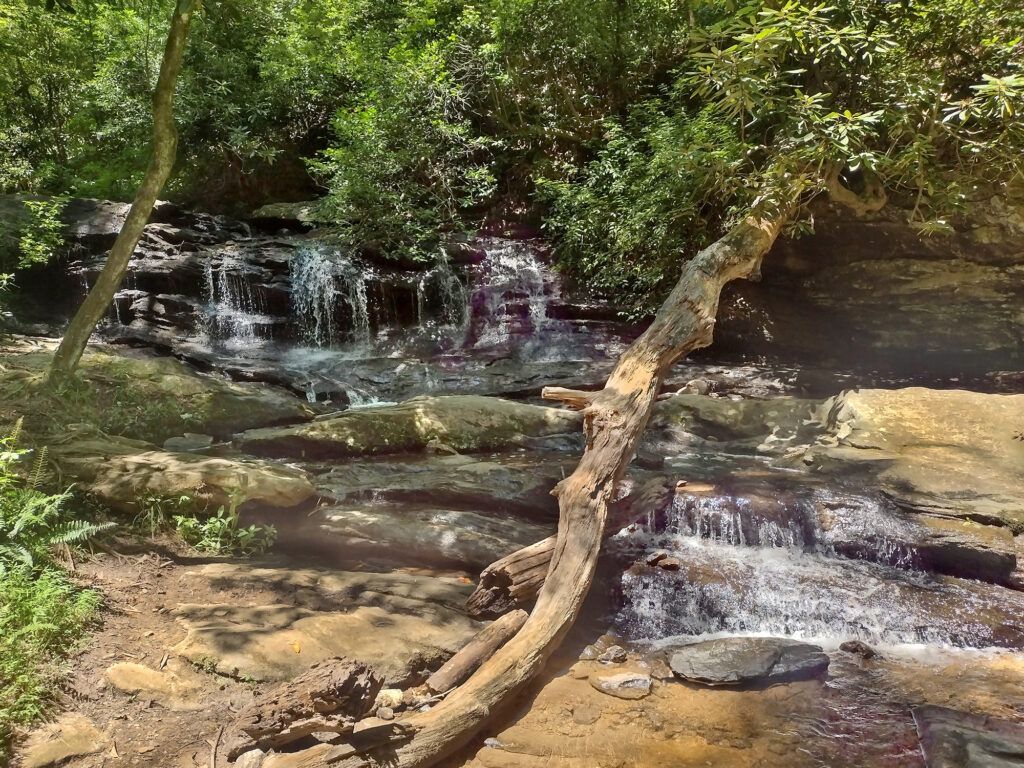
Photo courtesy of
American Whitewater
Description
A sweet 15' ledge.
Location
Radar
Counties
Cell
Verizon
AT&T
T-Mobile
Dark
Satellite
Terrain
Other Rapids on This Run (6)
Waterfall
IV
Dead Moose Sluice
0.0 mi
Rapid
N/A
Put In
0.0 mi
Waterfall
IV
Stair Falls
1.4 mi
Waterfall
IV+
Billings Falls
1.6 mi
Rapid
V
Jaws
3.1 mi
Rapid
N/A
Take Out
4.7 mi
Type
Waterfall
Difficulty
Class IV
Mile Marker
2.8 mi
Directions
Navigate
View Full Run
Bear Brook to Long Pond Road (Gulf Hagas)
Pleasant, W. Branch
V
4.7 mi
Current Conditions
5-Day Forecast
Whitewater data from
American Whitewater
Buttermilk Falls