Gauge Conditions
Runnable: ? – ? CFS
Approximate - nearest available gauge. Use as general reference only.
Data from American Whitewater & USGS
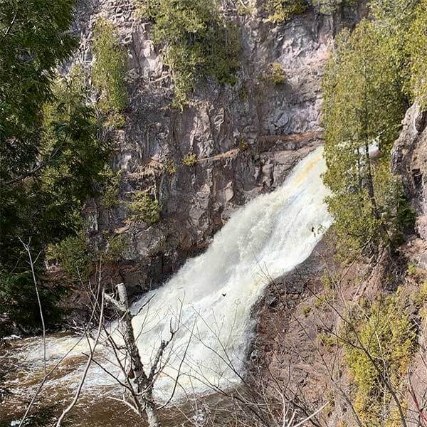
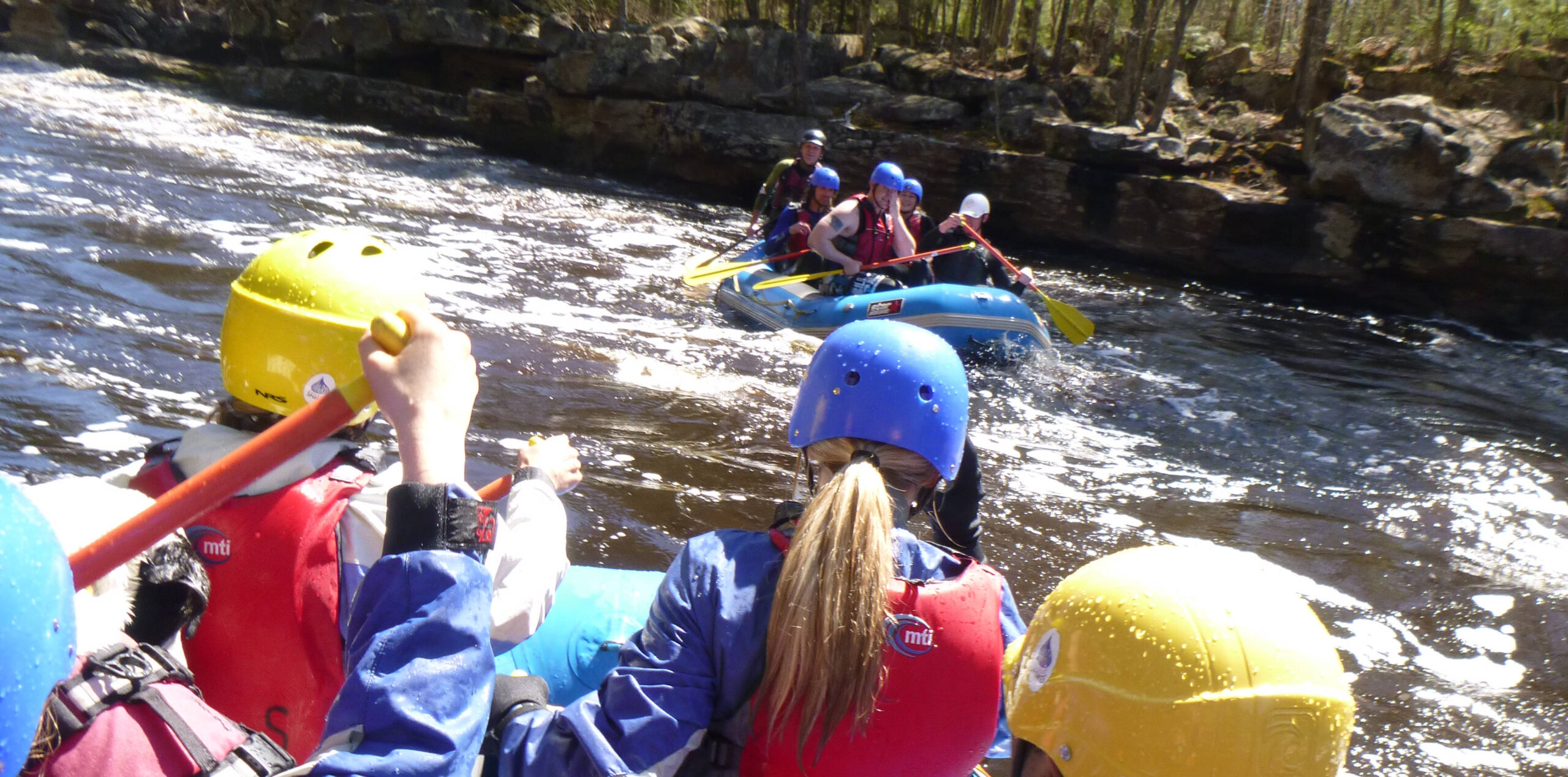
Photo
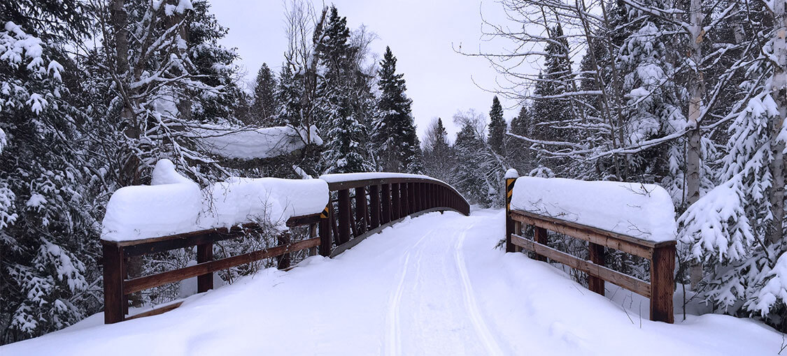
Photo courtesy of American Whitewater
Description
This could provide alternative access, though I suspect the (unimproved) roads which show on aerial views are likely private/gated for access to apparent quarries/mines in the vicinity. Otherwise, this (and the other listed 'rapids' (features)) are really more just waypoints/mileage-markers.
Location
Other Rapids on This Run (5)


View Full Run
Twnp25 to CR3 (5.9 miles)
Gooseberry
II
5.3 mi
Current Conditions
5-Day Forecast
Whitewater data from
American Whitewater
American Whitewater