Gauge Conditions
Data from American Whitewater & USGS
View Full Run
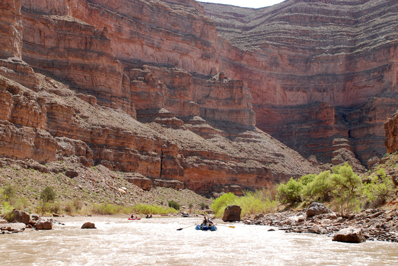
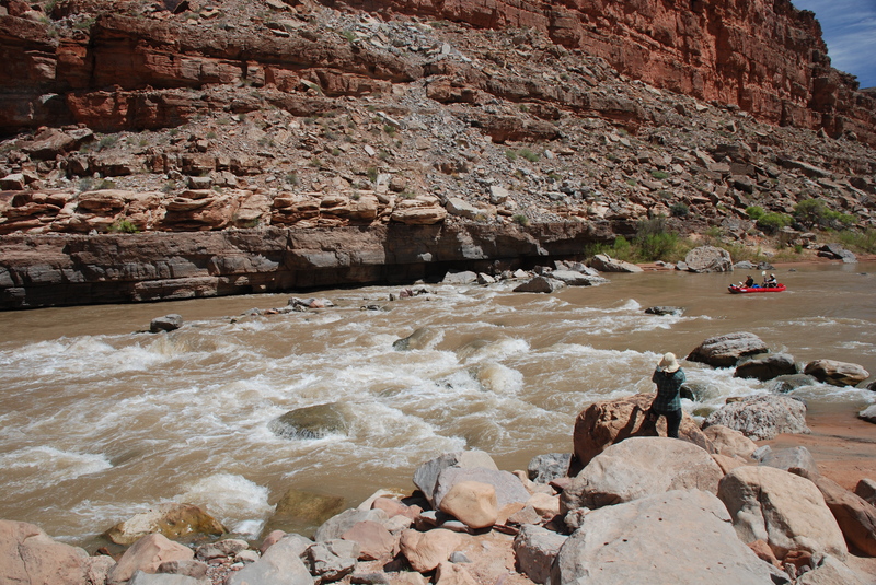
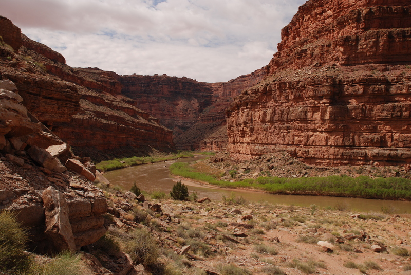
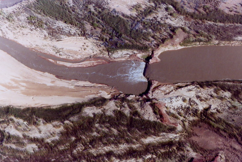
02. Mexican Hat to Clay Hills Crossing
San Juan
I-II(III)
56.7 mi
Current Conditions
5-Day Forecast
Whitewater data from
American Whitewater
American Whitewater