Rapid
MI
Confluence, McGinty Creek
Ontonagon, M.Br. - A) Burned Dam CG to Bond Falls Flowage (6.4-11.5 miles) (MI)
Gauge Conditions
Runnable: 150.0 – 1,000.0 CFS
Likely too low. Uncertain. We need your input! Add a comment or report.
Data from American Whitewater & USGS
Photo
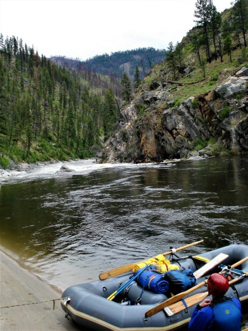
Photo courtesy of American Whitewater
Description
The Confluence rapid marks the joining of McGinty Creek with the Middle Branch Ontonagon River, creating a potential complex hydraulic zone with potential debris and variable water levels. While specific details are limited, paddlers should carefully scout the confluence for potential obstructions, current shifts, and local topographical features that might impact navigation.
Location


View Full Run
A) Burned Dam CG to Bond Falls Flowage (6.4-11.5 miles)
Ontonagon, M.Br.
I-II(III)
11.2 mi
Current Conditions
5-Day Forecast
Whitewater data from
American Whitewater
American Whitewater