How's Your
River
×
Explore
Explore Map
Water Bodies
Gauges
Access Sites
Tidal Stations
Whitewater
Pricing
Login
Sign Up
Hazard Warning:
Hazard information may be user-submitted and unverified. Conditions change frequently. Always scout rapids and obstacles yourself.
Whitewater
Georgia
Cooper Creek - USFS Route 33 to Mulky Creek Camp - Toccoa river trib.
Corner Pocket
Hazard
GA
Class II+
Corner Pocket
Cooper Creek - USFS Route 33 to Mulky Creek Camp - Toccoa river trib. (GA)
Monitor this Rapid
Water Body
This Run
Map
Other Rapids
Gauge
Weather
Directions
Gauge Conditions
Toccoa River near Dial, GA
Downstream
Primary
Runnable: 750.0 – 10,000.0 CFS
Data from
American Whitewater
&
USGS
Photo
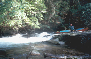
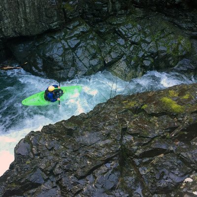
Photo courtesy of
American Whitewater
Description
The final notable rapid on Cooper Creek is Corner Pocket. Like most rapids on Cooper Creek it is a fairly easy rock garden drop. A trail from here leads to atakeout but it is better to boat down to the Mulkey Creek Campground.
Location
Radar
Counties
Cell
Verizon
AT&T
T-Mobile
Dark
Satellite
Terrain
Other Rapids on This Run (3)
Rapid
N/A
Put In
0.0 mi
Hazard
III
Grunch
2.5 mi
Rapid
N/A
Take Out
5.2 mi
Type
Hazard
Difficulty
Class II+
Mile Marker
5.0 mi
Directions
Navigate
View Full Run
USFS Route 33 to Mulky Creek Camp - Toccoa river trib.
Cooper Creek
II-III
9.7 mi
Hazard
— Exercise extreme caution in this area.
Current Conditions
5-Day Forecast
Whitewater data from
American Whitewater
Corner Pocket