Covered Bridge Weir Dam
Doe - 3. Highway 19E bridge @ Hampton High School to Covered Bridge Park - Elizabethton (TN)
Gauge Conditions
Data from American Whitewater & USGS
Description
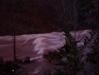
This last feature of the run is a 2.5 feet tall spill over concrete dam onto a concrete shelf. If you decide to run the dam, run it on the river left side about 6' off the concrete deck against the bank. DO NOT RUN THE DAM FROM LEFT CENTER OF THE RIVER TOO ANYWHERE OVER TO THE FISH LADDER ON RIVER RIGHT!!! The city had the contractor install a large line of limestone quarry boulders to slow down and break up the flow. Any flow below 2,000 cfs could result in a bad accident with the boulder line below the dam. Make sure you scout this drop to find the exact line on the left before attempting to run the drop. If you elect not to run the dam, you can take out on the river right side at the concrete steps that are constructed down to the river. The steps are located just before you go under the Covered Bridge.
Location
Other Rapids on This Run (2)
View Full Run
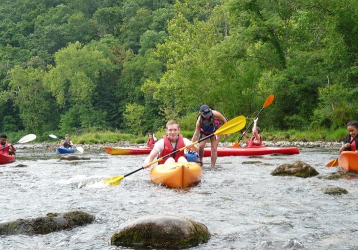
3. Highway 19E bridge @ Hampton High School to Covered Bridge Park - Elizabethton
Doe
II-III
7.5 mi
Hazard — Exercise extreme caution. Portage recommended — scout before running.
Current Conditions
5-Day Forecast
Whitewater data from
American Whitewater
American Whitewater