Gauge Conditions
Runnable: 50.0 – 300.0 CFS
Expect some boat dragging.
Data from American Whitewater & USGS
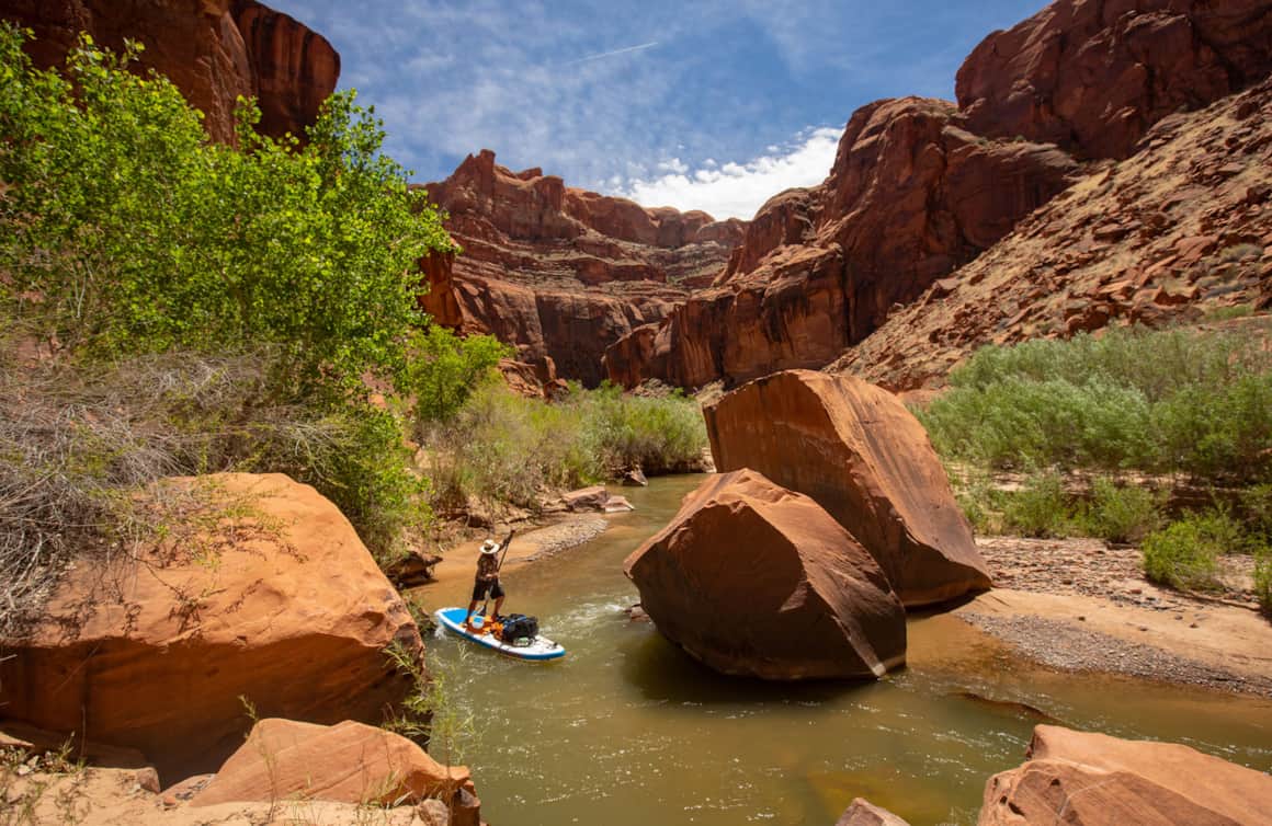
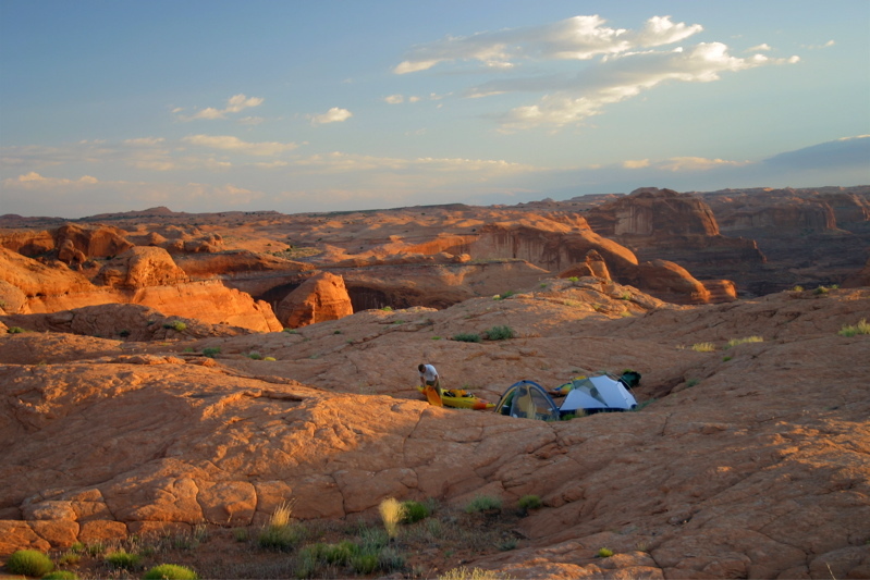
Photo
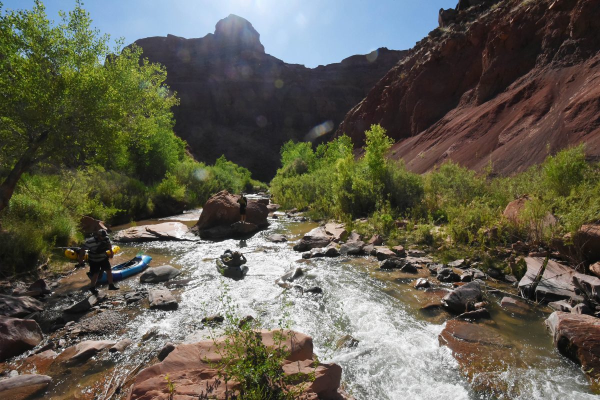
Photo courtesy of American Whitewater
Description
Coyote Gulch comes in on river right. Hike up the creek a short ways then follow the trail up the sand dunes to the rim and the Crack in the Wall escape route. It is a long steep hike carrying gear and boats.
Location


View Full Run
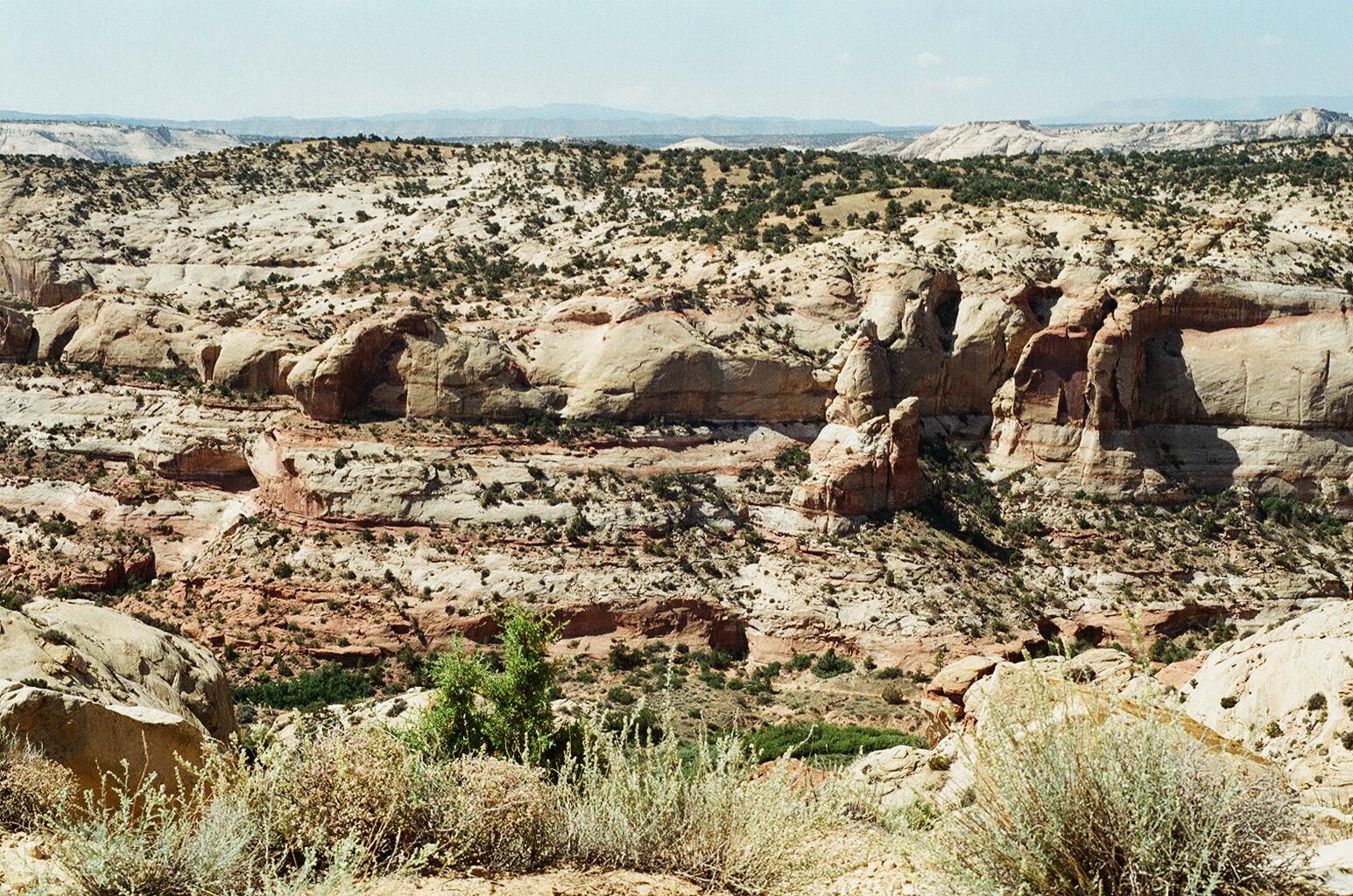
Highway 12 to Powell Reservoir
Escalante
II(III)
74.0 mi
Current Conditions
5-Day Forecast
Whitewater data from
American Whitewater
American Whitewater