Gauge Conditions
Runnable: 1,000.0 – 4,000.0 CFS
Likely too low for reasonable whitewater run. (We need your input! Add a comment about gauge reading and corresponding runnability/difficulty of this run.)
Data from American Whitewater & USGS
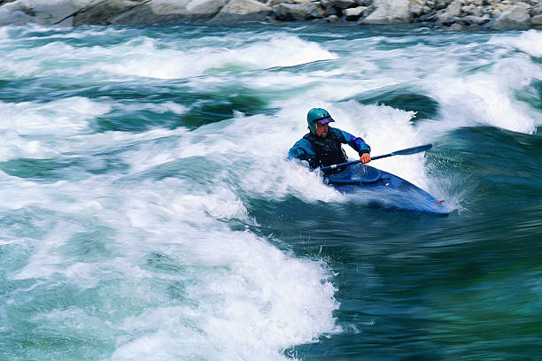
Photo
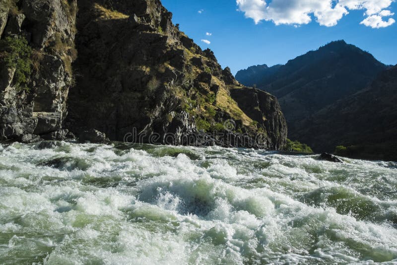
Photo courtesy of American Whitewater
Description
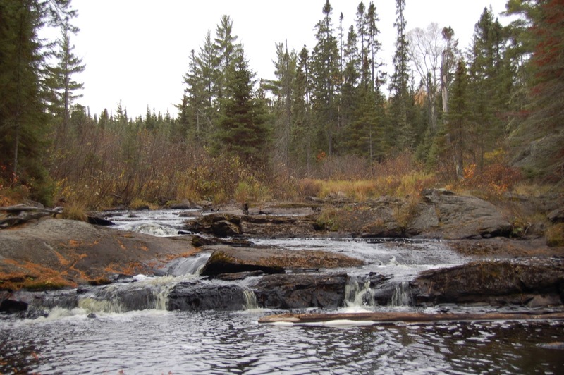
A small weir/dam appears to exist at this point. It is likely that (at flows required to run Tioga) this will be a 'non-event', awash in flow with perhaps no sign of its existance. However, in case that assessment is wrong, be alert. It is possible it may (at some flows) create a keeper hydraulic . . . or . . . maybe a playable feature (for those who know the difference).
Location
Other Rapids on This Run (16)
 Rapid
N/A
Rapid
N/A
Put In
Rapid
N/A
Foot-bridge
Rapid
N/A
USGS sampling site
 Rapid
N/A
Rapid
N/A
Trail Bridge
 Rapid
N/A
Rapid
N/A
Begin narrow and twisty
 Rapid
N/A
Rapid
N/A
Action increases
Rapid
N/A
Action eases (flatwater)
Rapid
N/A
Warning shot
Waterfall
III+
Tioga Falls
Rapid
N/A
End of Tioga Falls Sequence
Rapid
N/A
Confluence, Tioga/Sturgeon
Rapid
III
Rapids
 Rapid
N/A
Rapid
N/A
Minor rips
 Rapid
N/A
Rapid
N/A
Take-out
Rapid
N/A
Take-out (or continue)
 Rapid
N/A
Rapid
N/A
Begin continuous splishy-splash
View Full Run
Hwy.41 Wayside to Old US Hwy.41 (2.7 + 7.8 miles)
Tioga
II-IV
9.4 mi
Hazard — Exercise extreme caution in this area.
Current Conditions
5-Day Forecast
Whitewater data from
American Whitewater
American Whitewater