Gauge Conditions
Runnable: ? – ? CFS
Approximate - nearest available gauge. Use as general reference only.
Data from American Whitewater & USGS
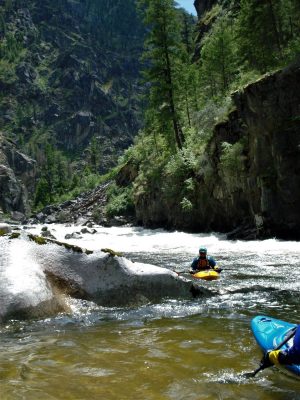
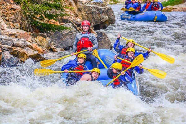
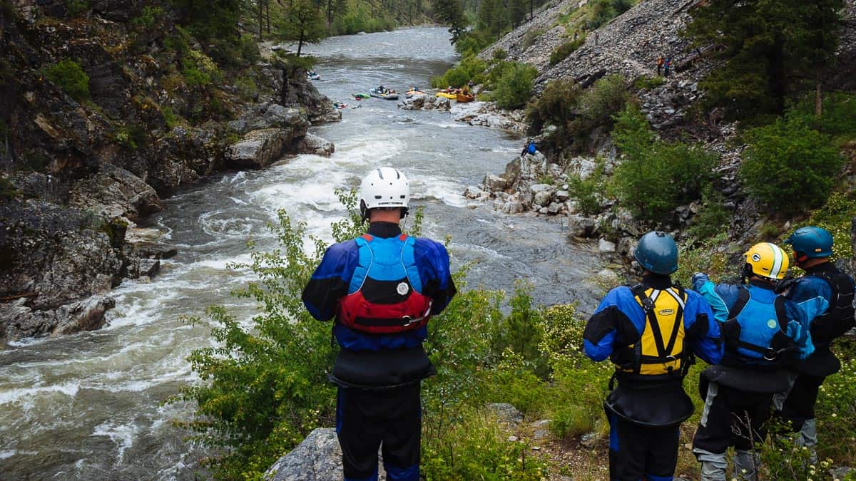
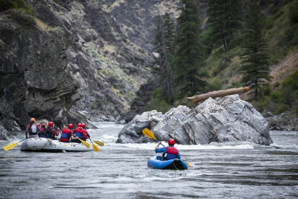
Photo
Photo courtesy of American Whitewater
Description
(As calculated via USGS StreamStats Beta software) Drainage area at our listed put-in is approximately 18 sq.mi., and increases (from various tributaries entering along the listed run) to 29 sq.mi. by the take-out (thus likely about 60% increase in flow).
Location
View Full Run
S. CR 60 E to S. CR60 SW (4.2 miles)
Cobbs Fork (of Sand Creek)
I-II(III)
4.3 mi
Current Conditions
5-Day Forecast
Whitewater data from
American Whitewater
American Whitewater