Gauge Conditions
Runnable: 75.0 – 500.0 CFS
Likely low, but maybe marginally boatable? (Correlation not assured.) Help your fellow boaters by adding a comment about gauge levels and boatability here!
Data from American Whitewater & USGS
Photo
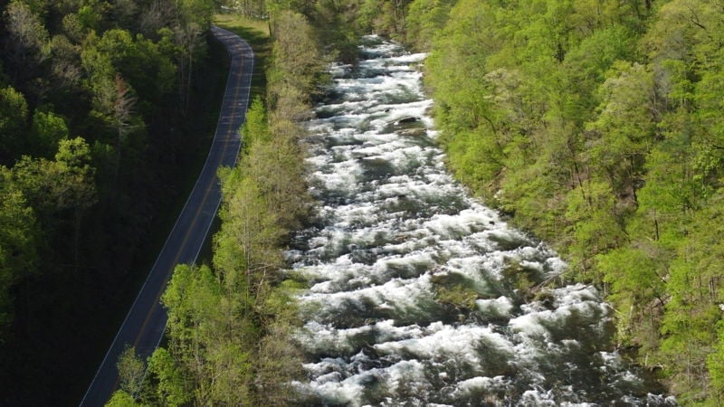
Photo courtesy of American Whitewater
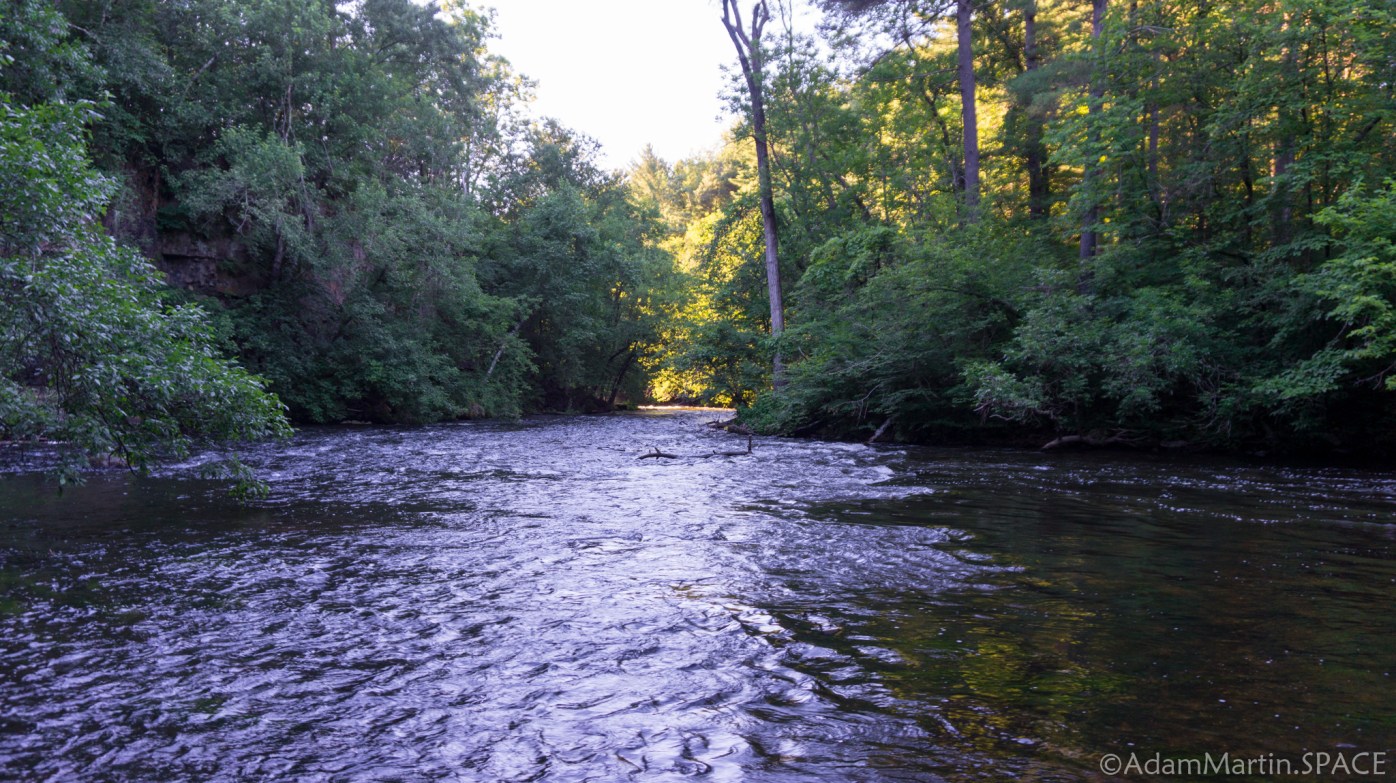
Description
Drainage area at our listed put-in is approximately 290 sq.mi. (as calculated via USGS StreamStats Beta software).
We had linked to the USGS Gauge on the Willow River since drainage at that gauge is 292 square miles, and it lies just about 23 miles SouthWest.
However, that gauge has been decommissioned/unfunded as of 2024-01-07.
Location
Other Rapids on This Run (4)


View Full Run
A) Little Falls to Pike Hole (2.2 miles)
Apple
II
2.1 mi
Current Conditions
5-Day Forecast
Whitewater data from
American Whitewater
American Whitewater