Gauge Conditions
Runnable: ? – ? CFS
Approximate - nearest available gauge. Use as general reference only.
Data from American Whitewater & USGS
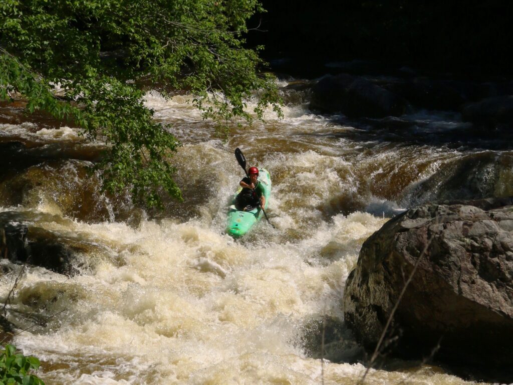
Photo
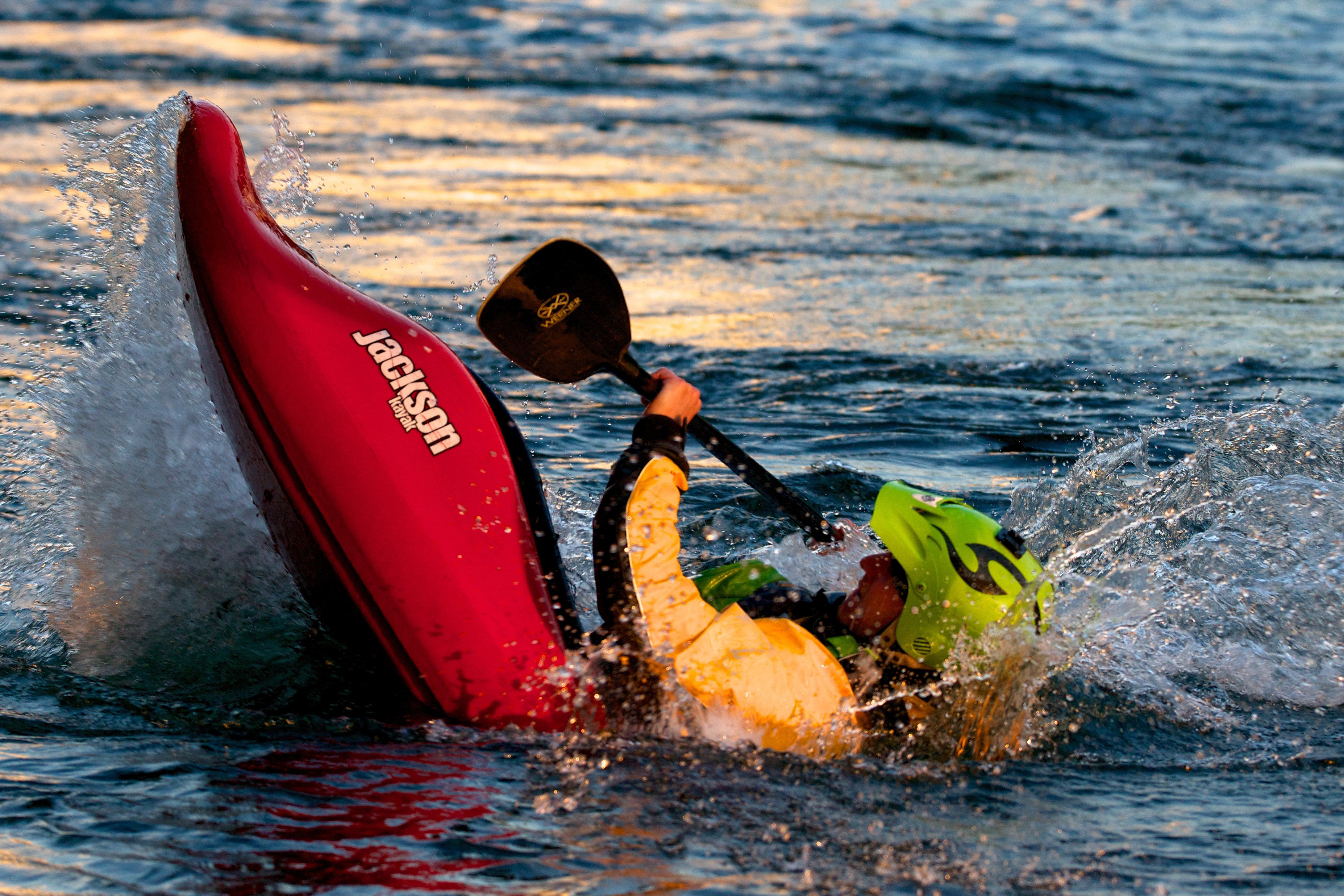
Photo courtesy of American Whitewater
Description
Drainage area at our listed put-in is approximately 8 sq.mi. (as calculated via USGS StreamStats Beta software).
Location
Other Rapids on This Run (2)
View Full Run
Hwy 37 to Old Hwy 37 (2 miles)
Gulletts Creek
I-II(III)
1.4 mi
Current Conditions
5-Day Forecast
Whitewater data from
American Whitewater
American Whitewater