Rapid
WI
Drainage area: ~36.8 sq.mi.
Popple - A) MacArthur Pine Rd to Newald Tower Rd. (21.2 miles) (WI)
Gauge Conditions
Runnable: ? – ? CFS
Approximate - nearest available gauge. Use as general reference only.
Data from American Whitewater & USGS
Description
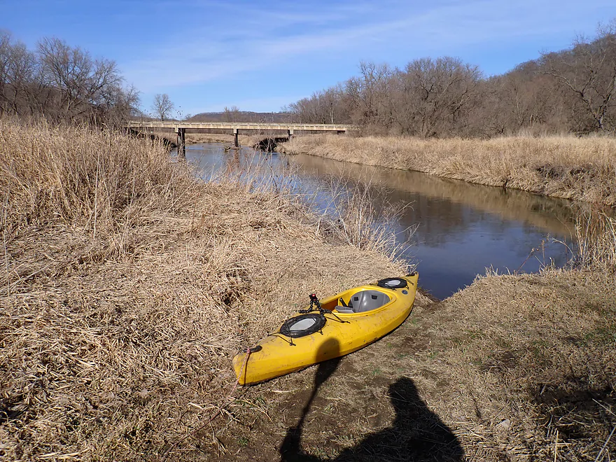
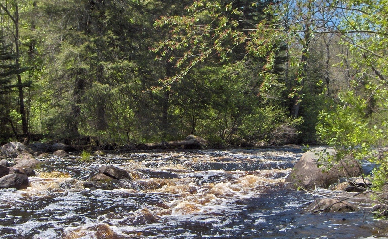
At the uppermost listed put-in, drainage area (as calculated by USGS StreamStats 4.0 beta software) is 36.8 square miles. This is roughly 1/4 the drainage at the gauge (Popple River, near Fence), thus flows here could be roughly 1/4th the gauge reading. Expect the gauge to lag flows up here on both rise and fall.
Location
Other Rapids on This Run (20)
 Rapid
I
Rapid
I
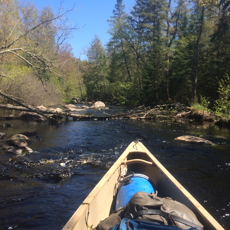
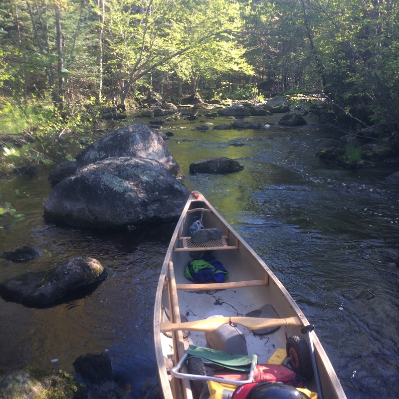
Unnamed Rapids 1
 Rapid
II
Rapid
II
Unnamed Rapids 2
 Rapid
II
Rapid
II
Unnamed Rapids 3
 Rapid
N/A
Rapid
N/A
Very Large Beaver Dam
 Rapid
II
Rapid
II
Unnamed Rapids 4
 Rapid
II
Rapid
II
Unnamed Rapids 5
 Rapid
II+
Rapid
II+
Unnamed Rapids 6
 Hazard
N/A
Hazard
N/A
Old Hwy 139 (Recommended Takeout!)
 Hazard
N/A
Hazard
N/A
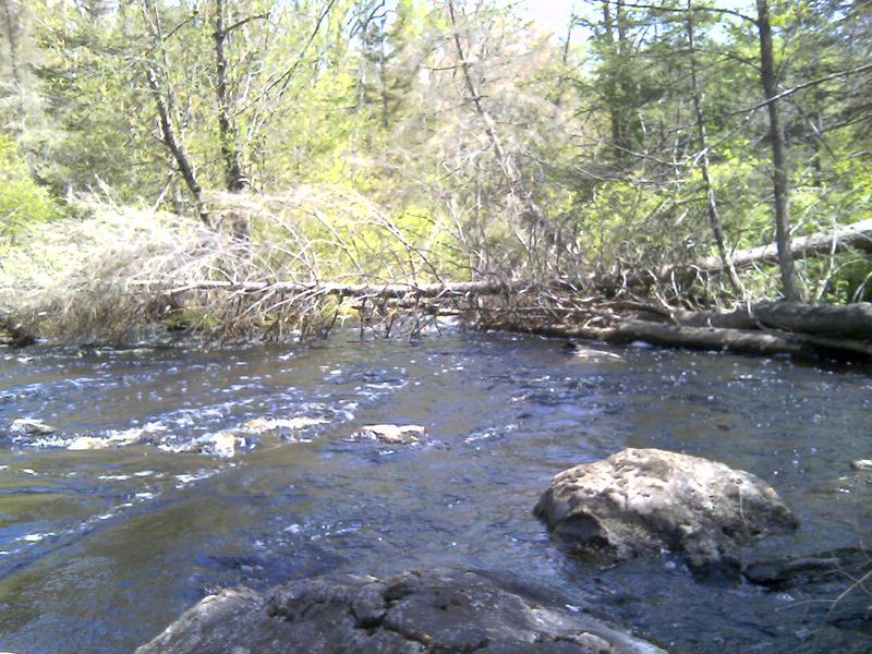
Start of barely penetrable Alder thicket
 Rapid
N/A
Rapid
N/A
Hwy 139 Bridge
Rapid
N/A
Landing (on left just after Hwy 139)
 Rapid
I
Rapid
I
Castor Rapids
Rapid
II
Camp Dock Rapids
 Rapid
II
Rapid
II
Deerhead Rapids
 Hazard
II+
Hazard
II+
McDougal Rapids
 Hazard
N/A
Hazard
N/A
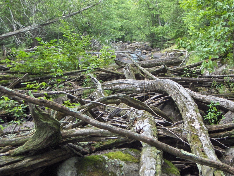
Permanent Log Pile in McDougal Rapids
 Rapid
N/A
Rapid
N/A
Twin Rivers Rd. Landing
 Hazard
II
Hazard
II
Burnt Dam Rapids
 Hazard
N/A
Hazard
N/A
Log Pile Across Burnt Dam Rapids
 Rapid
N/A
Rapid
N/A
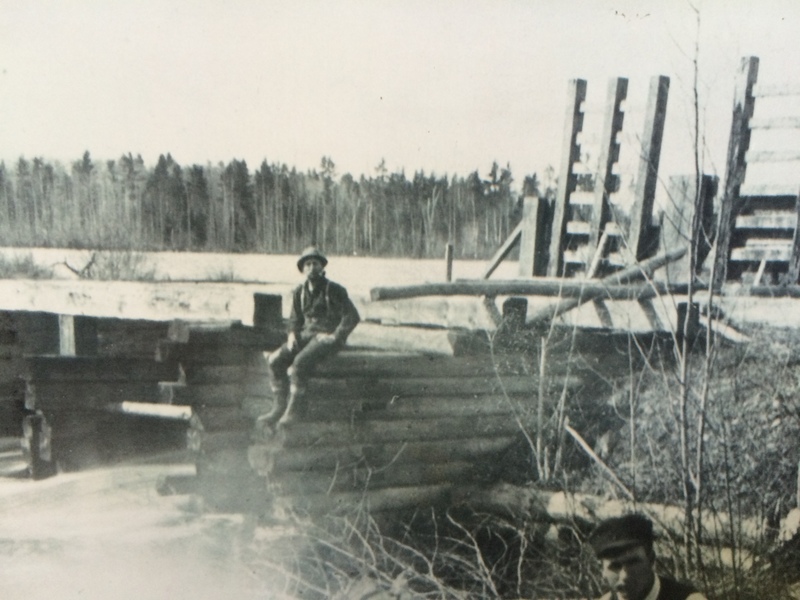
Old Podunk Dam Site
View Full Run
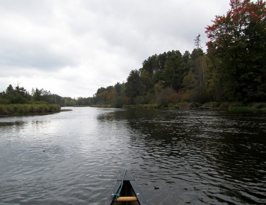
A) MacArthur Pine Rd to Newald Tower Rd. (21.2 miles)
Popple
I-II
19.2 mi
Current Conditions
5-Day Forecast
Whitewater data from
American Whitewater
American Whitewater