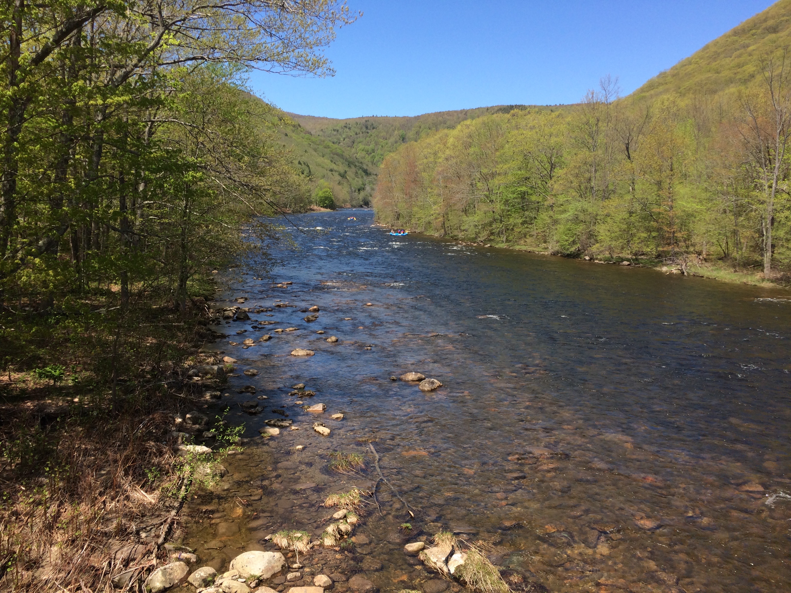
Take-out
MA
East Charlemont Boat RampTake Out
Deerfield - 5) Zoar Picnic Area to East Charlemont (MA)
Gauge Conditions
Data from American Whitewater & USGS
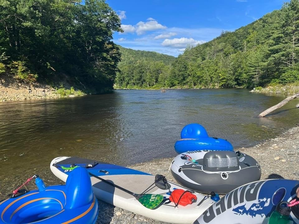
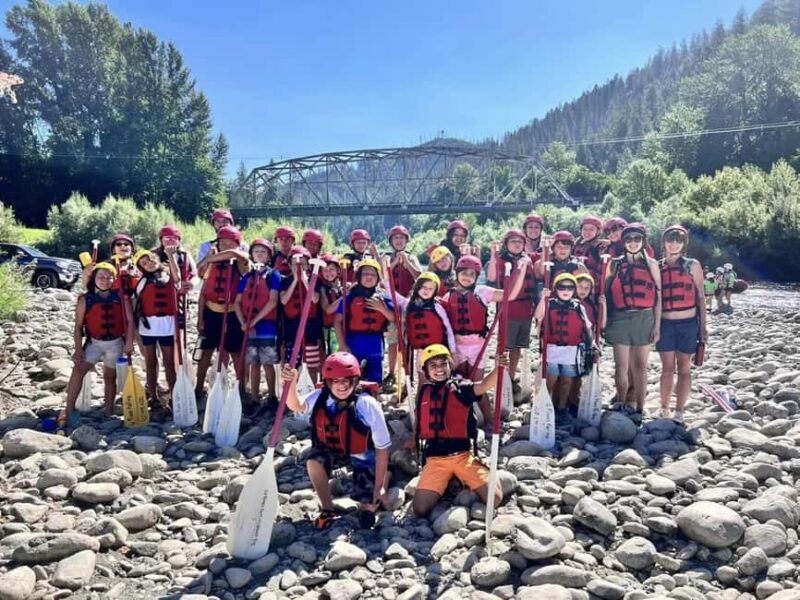
Photo
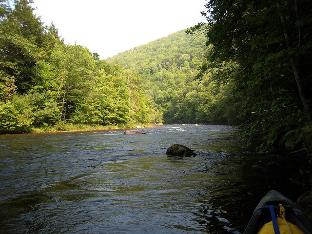
Photo courtesy of American Whitewater
Description
The East Charlemont Boat Ramp serves as a key take-out point for paddlers completing the Zoar Picnic Area to East Charlemont section of the Deerfield River. Located on river left, this public access point provides a straightforward exit from the river with ample parking and easy boat retrieval. Paddlers should be aware of potential river conditions and any local regulations when using this boat ramp.
Location
View Full Run
5) Zoar Picnic Area to East Charlemont
Deerfield
I-II
12.0 mi
Current Conditions
5-Day Forecast
Whitewater data from
American Whitewater
American Whitewater