How's Your
River
×
Explore
Explore Map
Water Bodies
Gauges
Access Sites
Tidal Stations
Whitewater
Pricing
Login
Sign Up
Hazard Warning:
Hazard information may be user-submitted and unverified. Conditions change frequently. Always scout rapids and obstacles yourself.
Whitewater
Georgia
Settingdown Creek - Pooles Mill to GA Route 369
Entrance Slide
Rapid
GA
Class III
Entrance Slide
Settingdown Creek - Pooles Mill to GA Route 369 (GA)
Monitor this Rapid
Water Body
This Run
Map
Other Rapids
Gauge
Weather
Directions
Gauge Conditions
Settingdown Creek near Ball Ground, GA
Downstream
Primary
Runnable: 200.0 – 1,500.0 CFS
Data from
American Whitewater
&
USGS
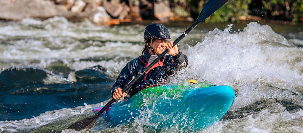
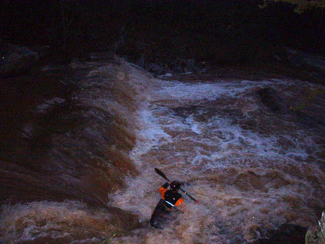
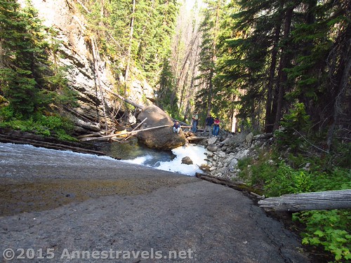
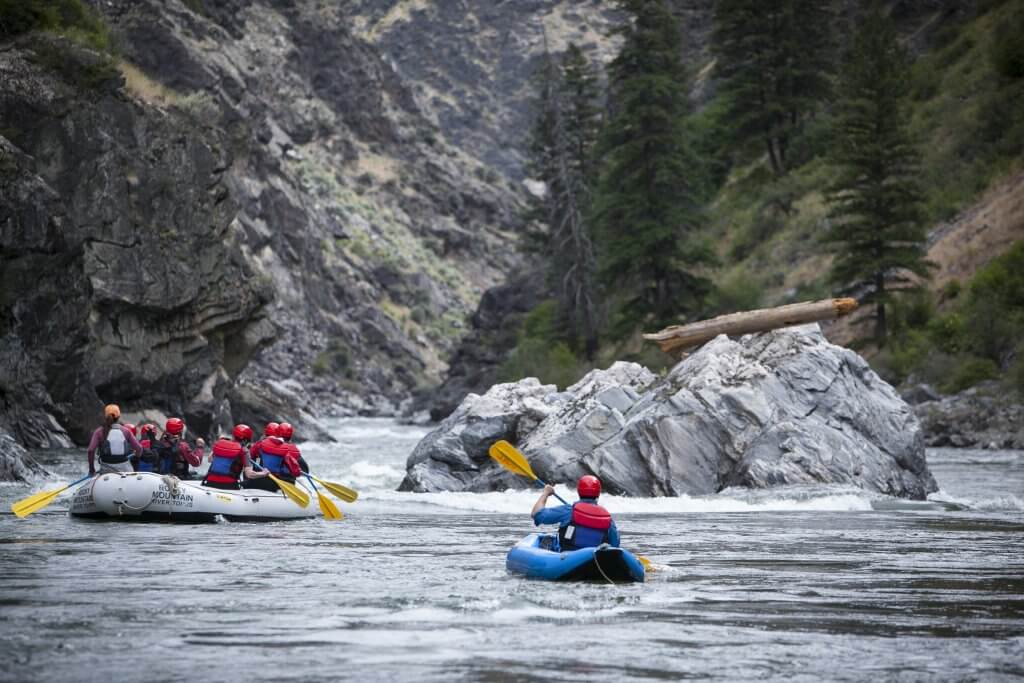
Photo
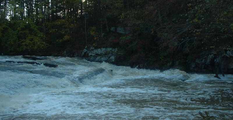
Photo courtesy of
American Whitewater
Description
About 100 feet below the covered bridge there is a 50 foot long rock slide that you generally want to run the left side. But you could boof the ledges in the middle of the water is high enough.
Location
Radar
Counties
Cell
Verizon
AT&T
T-Mobile
Dark
Satellite
Terrain
Other Rapids on This Run (5)
Rapid
N/A
Put In
0.0 mi
Waterfall
II+
Head Banger (AKA Straight Shot)
0.0 mi
Waterfall
III+
Minton's Folly (AKA Double Drop)
0.1 mi
Waterfall
III
Sticky Slide
0.2 mi
Rapid
N/A
Take Out
2.3 mi
Type
Rapid
Difficulty
Class III
Mile Marker
0.0 mi
Directions
Navigate
View Full Run
Pooles Mill to GA Route 369
Settingdown Creek
III+(IV)
2.7 mi
Current Conditions
5-Day Forecast
Whitewater data from
American Whitewater
Entrance Slide