Gauge Conditions
Approximate - nearest available gauge. Use as general reference only.
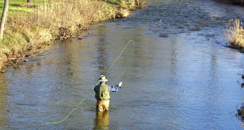
Photo
Description
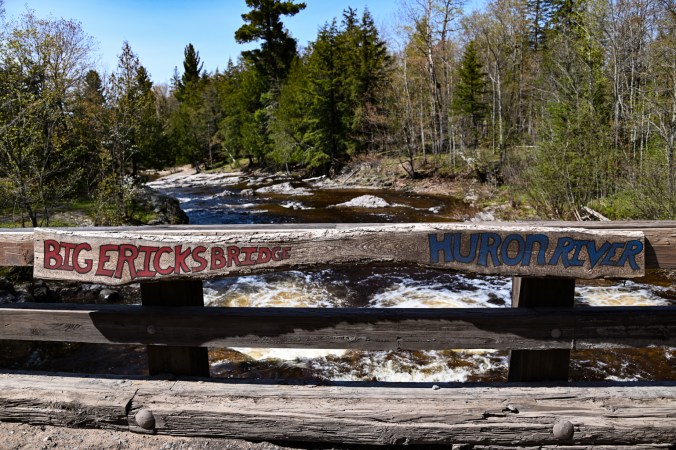
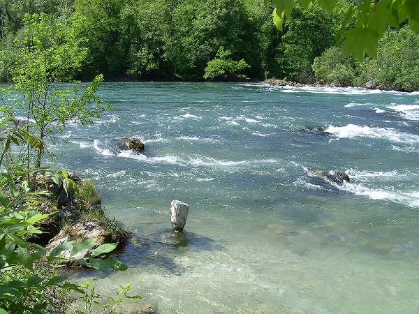
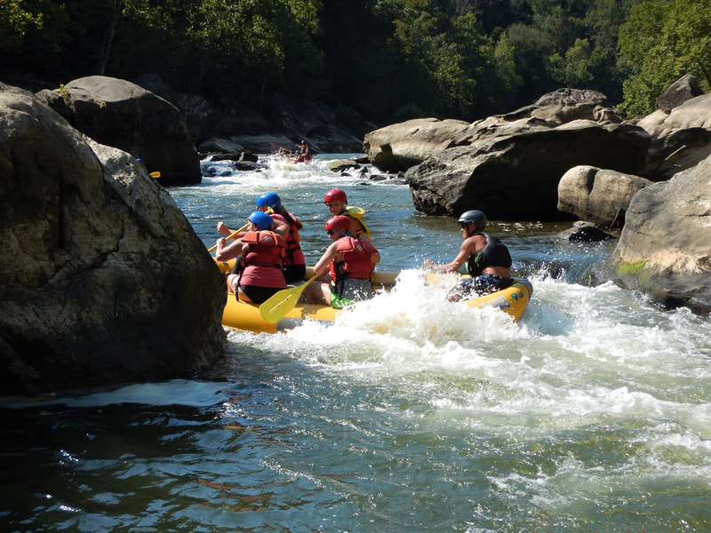
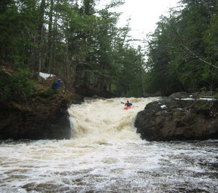
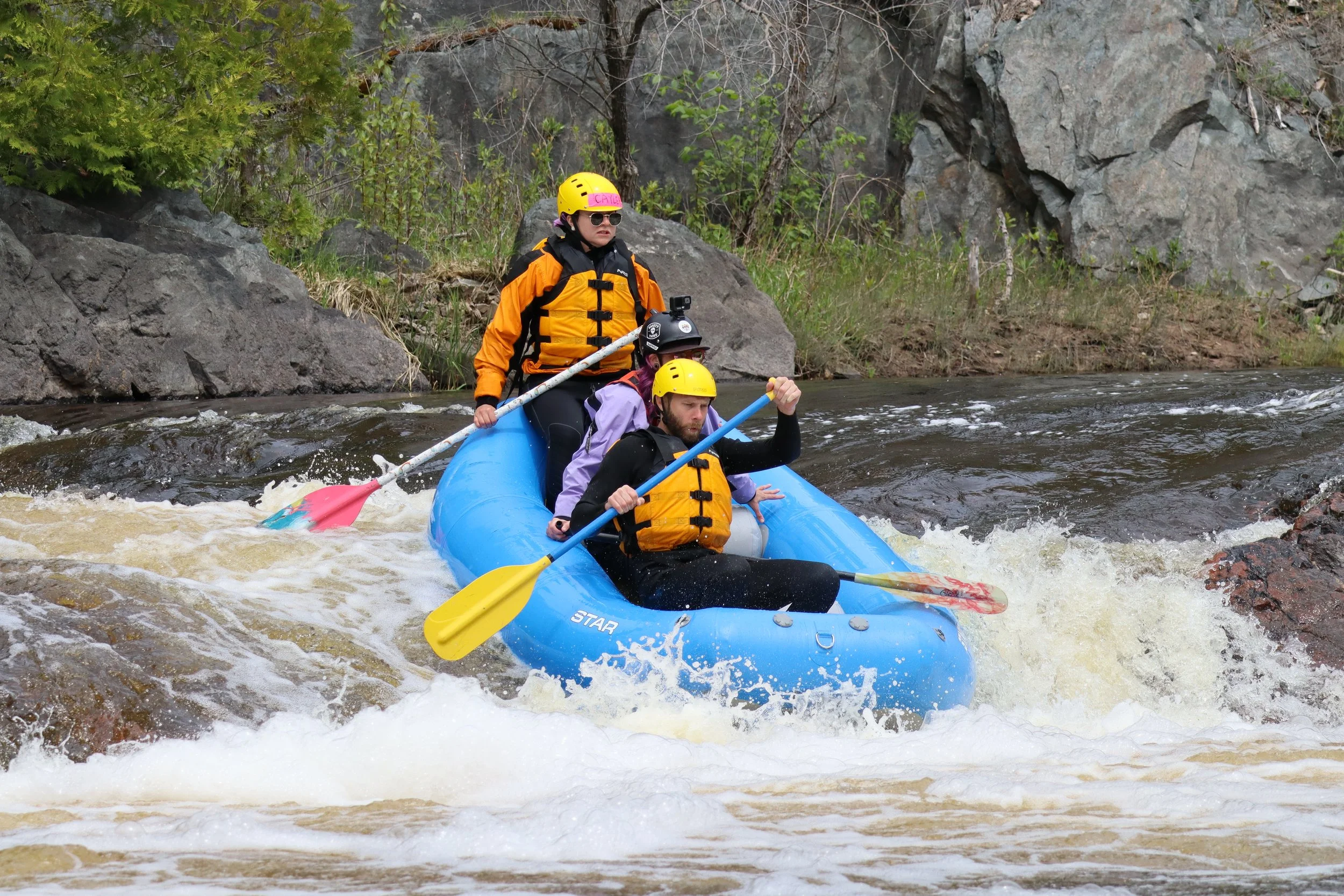
Immediately upstream of Erick Road Bridge lies the confluence of the East and West Branches of the Huron. Just beyond the bridge, the combined flow trips across a series of low ledges, Big Ericks Falls. A campground lies on river-left. Hoardes of fishermen tend to ply the pools between these ledges, often at same time and flows as boaters attempt to ply the rapids. If you happen to find fishermen relatively sparse, you may finish your run by working your way down this series before returning your boat to your vehicle. Downstream of the ledges you'll find an island, and some decent action contines, particularly to the right. However, things very quickly peter out. It is another 7 miles to the mouth of the river, and there are numerous areas of low-grade rapids, but nothing of any significance or merit.
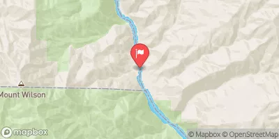
Location
Other Rapids on This Run (18)
 Rapid
N/A
Rapid
N/A
 Rapid
N/A
Rapid
N/A
 Rapid
N/A
Rapid
N/A
 Rapid
N/A
Rapid
N/A
 Rapid
N/A
Rapid
N/A
 Rapid
N/A
Rapid
N/A
 Rapid
N/A
Rapid
N/A
 Rapid
N/A
Rapid
N/A
 Rapid
N/A
Rapid
N/A
 Rapid
N/A
Rapid
N/A
 Rapid
N/A
Rapid
N/A
 Rapid
N/A
Rapid
N/A
 Rapid
N/A
Rapid
N/A
 Rapid
N/A
Rapid
N/A
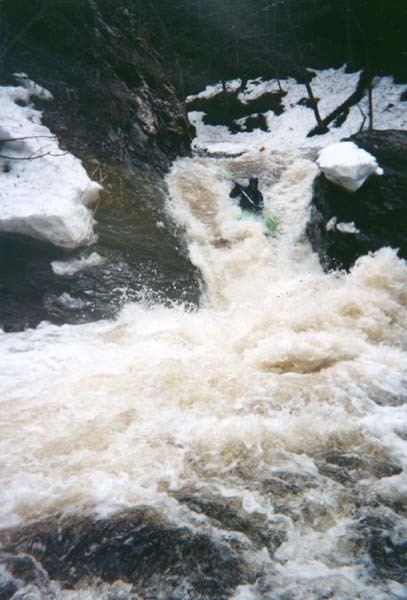
 Waterfall
N/A
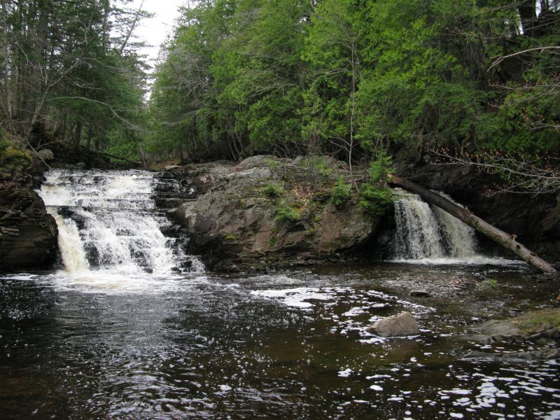
Waterfall
N/A
 Rapid
N/A
Rapid
N/A
 Rapid
N/A
Rapid
N/A
 Rapid
N/A
Rapid
N/A
Current Conditions
5-Day Forecast
American Whitewater