Rapid
AR
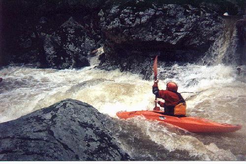
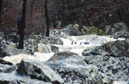
Five Mile Creek Confluence
Possum Walk Creek - Five Mile Road to Highway 263 (8.7 miles) (AR)
Gauge Conditions
Runnable: ? – ? CFS
Approximate - nearest available gauge. Use as general reference only.
Data from American Whitewater & USGS
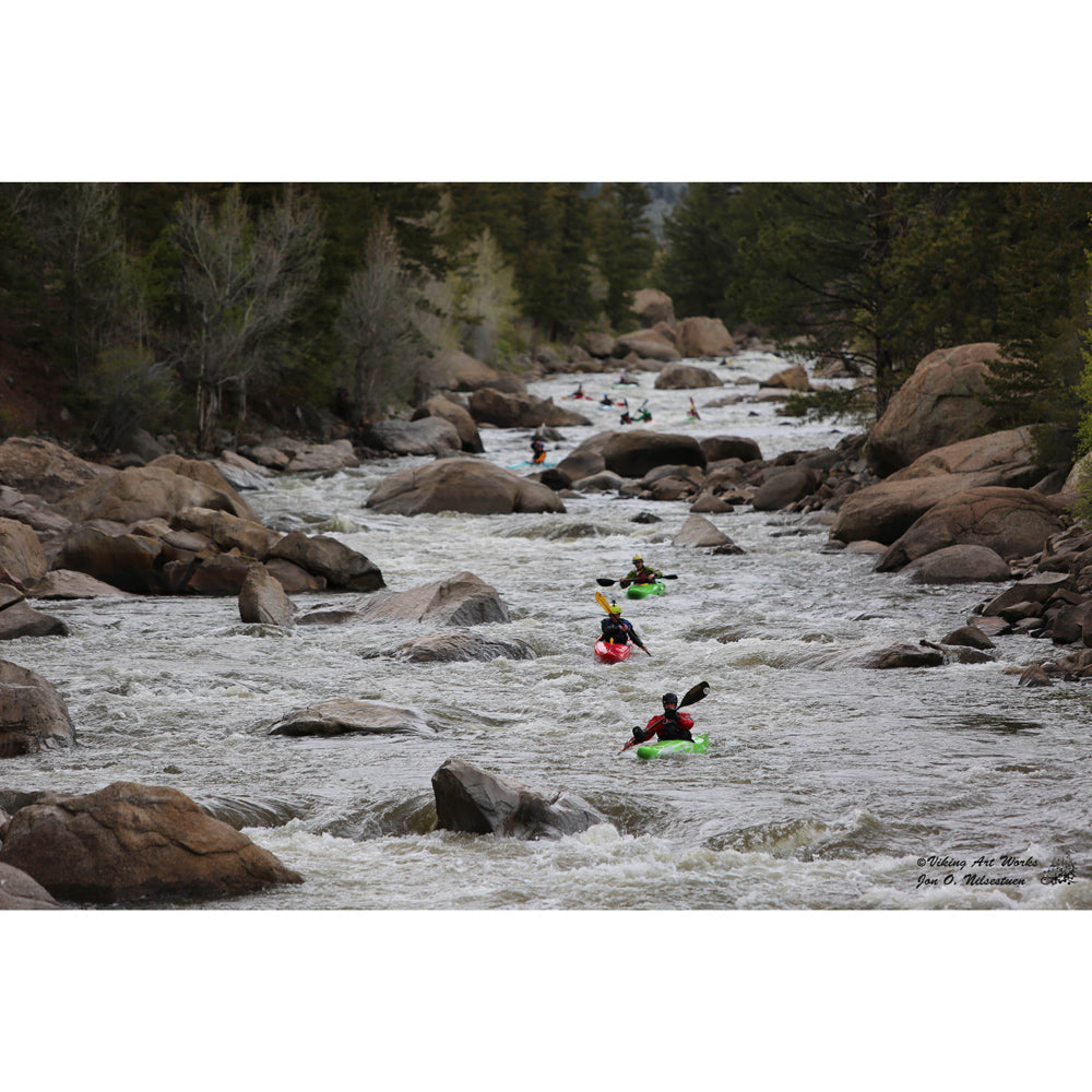
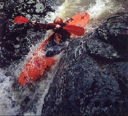
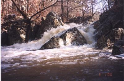
Photo
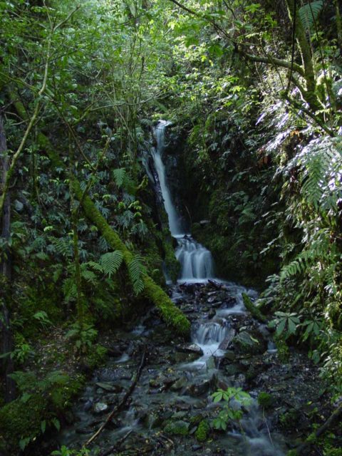
Photo courtesy of American Whitewater
Description
At the confluence of Five Mile Creek, the river volume doubles, creating a more powerful and technical stretch with increased turbulence and potential hydraulic features. Paddlers should be prepared for potential lateral waves and debris near the creek entrance, with careful route selection critical to navigating the increased flow and potential obstacles.
Location
Other Rapids on This Run (16)
 Rapid
Rapid
Five Mile Road Bridge
Rapid
N/A
Drainage area: ~3.09 square miles
Rapid
III+
Warm-up
 Rapid
IV
Rapid
IV
Possum Pinch
 Hazard
V
Hazard
V
Road Kill
 Hazard
V
Hazard
V
Randall's Gamble
 Hazard
IV+
Hazard
IV+
Playing Possum
 Hazard
IV+
Hazard
IV+
Possum Stew
 Hazard
V
Hazard
V
Possum Hole
Rapid
IV
Boof and Slide
 Playspot
III+
Playspot
III+
Snake Eyes
 Rapid
IV+
Rapid
IV+
Possum Pie
Rapid
III
Raccoon Creek
Rapid
III
Beech Fork
 Rapid
N/A
Rapid
N/A
Greers Ferry Lake
 Rapid
Rapid
Hwy 263 access
View Full Run
Five Mile Road to Highway 263 (8.7 miles)
Possum Walk Creek
IV-V(V+)
8.8 mi
Current Conditions
5-Day Forecast
Whitewater data from
American Whitewater
American Whitewater