Gauge Conditions
Approximate - nearest available gauge. Use as general reference only.
Description
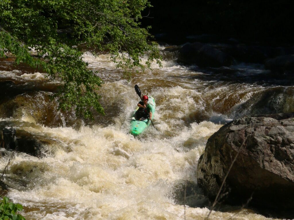
Flannigan Rapids appears to be a low-grade (class I-II) boulderbed rapids which starts here and runs fairly continuous for nearly two miles. It appears possible one could hike (about 3/4-mile) in to this point off of Burma Road (730). Look for a logging trail (likely gated/impassible) about 2.25 miles South of where it bends to head South, or about 0.6 mile North of N.Cemetery Road. You would have to hike in about 0.4 mile to where the trail is nearest the woods, but where it veers away for a bit. At this point, look for a path of least resistance due West (more-or-less) into the trees. You will hit the river within a quarter-mile, and be pretty much right at the head of the rapids!
Location
Other Rapids on This Run (10)
 Rapid
N/A
Rapid
N/A
 Rapid
N/A
Rapid
N/A
Current Conditions
5-Day Forecast
American Whitewater