How's Your
River
×
Explore
Explore Map
Water Bodies
Gauges
Access Sites
Tidal Stations
Whitewater
Pricing
Login
Sign Up
Hazard Warning:
Hazard information may be user-submitted and unverified. Conditions change frequently. Always scout rapids and obstacles yourself.
Whitewater
Oregon
Copeland Creek - Second Bridge to North Umpqua
Forest Road 28 Bridge, Intermediate Access Point
Rapid
OR
Forest Road 28 Bridge, Intermediate Access Point
Copeland Creek - Second Bridge to North Umpqua (OR)
Monitor this Rapid
Water Body
This Run
Map
Other Rapids
Gauge
Weather
Directions
Gauge Conditions
Boulder Creek near Toketee Falls, OR
Downstream
Primary
Runnable: 3.7 – 5.0 FT
Data from
American Whitewater
&
USGS
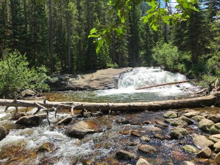
Photo
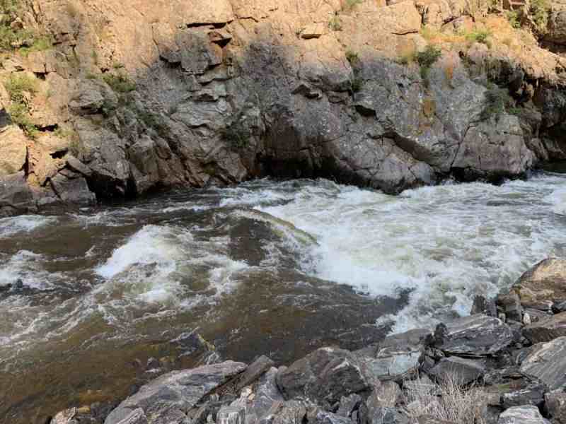
Photo courtesy of
American Whitewater
Description
Access point separating the upper and lower run.
Location
Radar
Counties
Cell
Verizon
AT&T
T-Mobile
Dark
Satellite
Terrain
Other Rapids on This Run (4)
Rapid
N/A
Forest Road 300 Spur Bridge, "Camp Wobegone" Put-In
0.0 mi
Waterfall
V
Paul Bunyan Falls
1.1 mi
Waterfall
V-
Fountain of Youth
3.7 mi
Rapid
N/A
Umpqua Confluence Take-Out
5.5 mi
Type
Rapid
Difficulty
Class N/A
Mile Marker
2.6 mi
Directions
Navigate
View Full Run
Second Bridge to North Umpqua
Copeland Creek
IV(V)
5.5 mi
Current Conditions
5-Day Forecast
Whitewater data from
American Whitewater
Forest Road 28 Bridge, Intermediate Access Point