Gauge Conditions
Runnable: ? – ? CFS
Approximate - nearest available gauge. Use as general reference only.
Data from American Whitewater & USGS
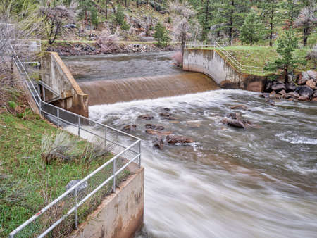
Photo
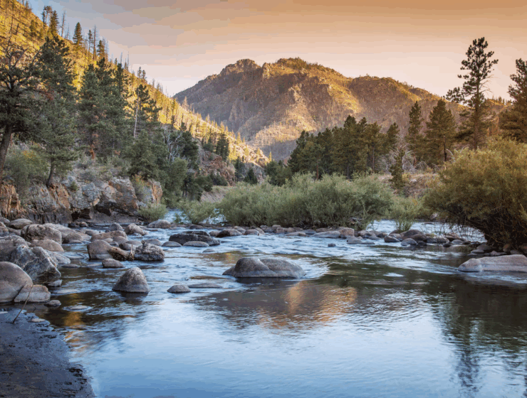
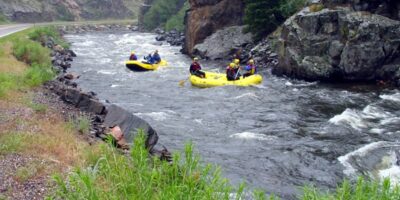
Photo courtesy of American Whitewater
Description
A short distance downstream of Gateway Natural Area, the US Forest Service maintains a set of wooden stairs to access the river. Limited free roadside parking is available here, but watch for traffic. Google Maps link: https://goo.gl/maps/2MAr214Vk6PvuzJGA
Location


View Full Run
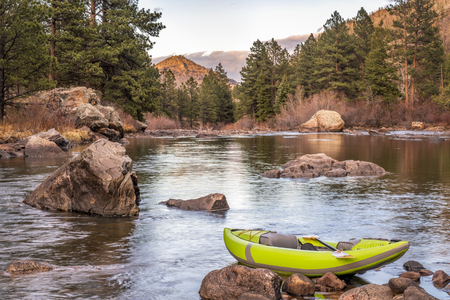
10. Below Filter Plant to Picnic Rock Access
Cache La Poudre
II-III
3.2 mi
Current Conditions
5-Day Forecast
Whitewater data from
American Whitewater
American Whitewater