Gauge Conditions
Runnable: ? – ? CFS
Approximate - nearest available gauge. Use as general reference only.
Data from American Whitewater & USGS
Description
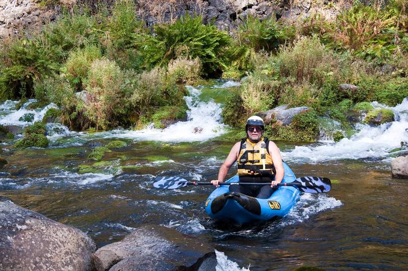
Follow a rutted and dusty dirt road to the National forrest - private property boundary, then follow side roads towards the river. User trails lead down to the river. A fence line is visible in spots allowing people to stay on public property.
Location
Other Rapids on This Run (13)
 Playspot
N/A
Playspot
N/A
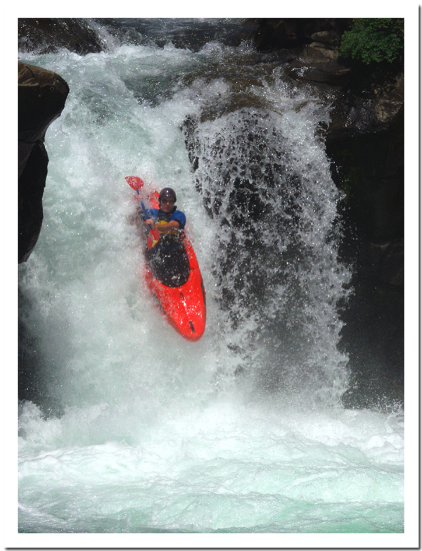
Lower Falls
Rapid
N/A
Boat Launch
 Rapid
N/A
Rapid
N/A
Little Springs
 Rapid
N/A
Rapid
N/A
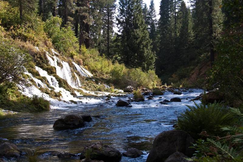
Big Springs
Rapid
IV
Big Springs Rapid
Rapid
N/A
Mud Creek confluence
 Rapid
II+
Rapid
II+
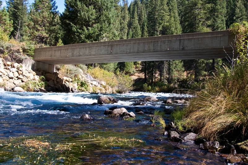
First Bridge
 Rapid
III
Rapid
III
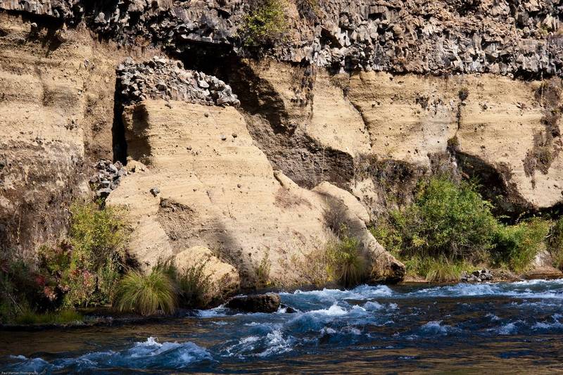
Mud Wall Rapid
 Rapid
I
Rapid
I
Angel Creek confluence
 Rapid
I
Rapid
I
Huckleberry Creek confluence
Rapid
N/A
24,000 acre/feet level
Rapid
N/A
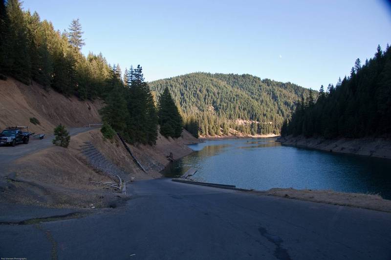
Reservoir Bridge
 Rapid
N/A
Rapid
N/A
Tarantula Boat Ramp
View Full Run
Fowler Camp to McCloud Reservoir
McCloud
III+(IV)
11.0 mi
Current Conditions
5-Day Forecast
Whitewater data from
American Whitewater
American Whitewater