Rapid
WI
Garage Road
Halls (Stockwell) Creek - Trow Lake Dam (Merrillan) to Black River confluence (11.5 or 6.3 miles) (WI)
Gauge Conditions
Runnable: ? – ? CFS
Approximate - nearest available gauge. Use as general reference only.
Data from American Whitewater & USGS
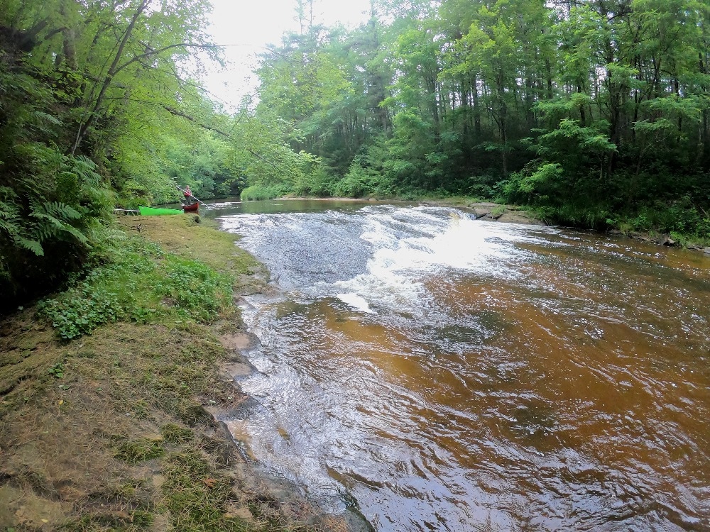
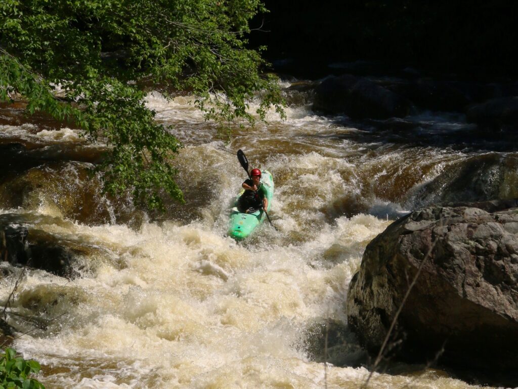
Photo
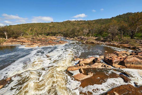
Photo courtesy of American Whitewater
Description
Cut off 3.9 miles (of mostly flatwater) by putting in at this bridge.
Drainage area at this location is 80.7 square miles (as calculated by USGS Stream Stats V.4.3.11).
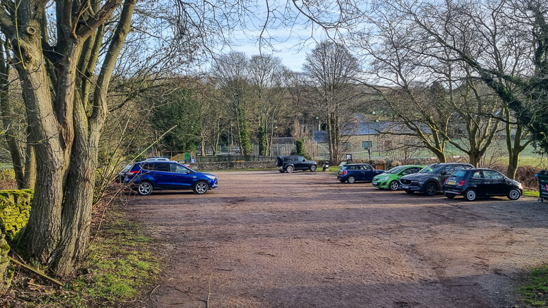
Relative to the USGS gauge at Neillsville, flows on this creek *could* be 1/9th to 1/10th of flow on that gauge.(Drainage area ratio is actually 0.1077.)We have built and are displaying a 'Virtual Gauge' based upon a ratio using the average of the three similar-sized Black River Falls Area creeks (Robinson, Morrison, and Halls/Stockwell Creeks) versus the drainage area at the Neillsville gauge on the Black River. Obviously correlation is not assured, as that gauge is likely to lag both on the rise and fall, as well as not being able to reflect when different parts of the watersheds get differing rainfall amounts.Location
Other Rapids on This Run (4)

View Full Run
Trow Lake Dam (Merrillan) to Black River confluence (11.5 or 6.3 miles)
Halls (Stockwell) Creek
I-II
11.1 mi
Current Conditions
5-Day Forecast
Whitewater data from
American Whitewater
American Whitewater