Gauge Conditions
Runnable: ? – ? CFS
Approximate - nearest available gauge. Use as general reference only.
Data from American Whitewater & USGS
CDEC Flow Data California
Data from California Data Exchange Center (CDEC)
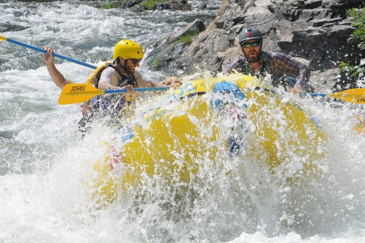
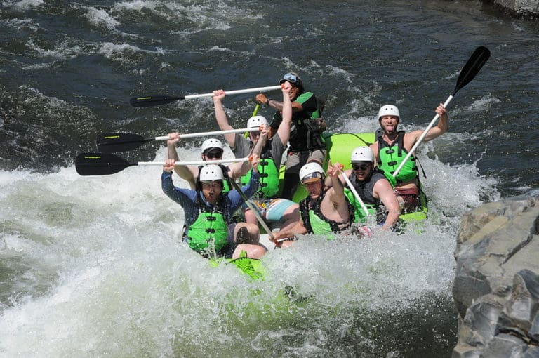
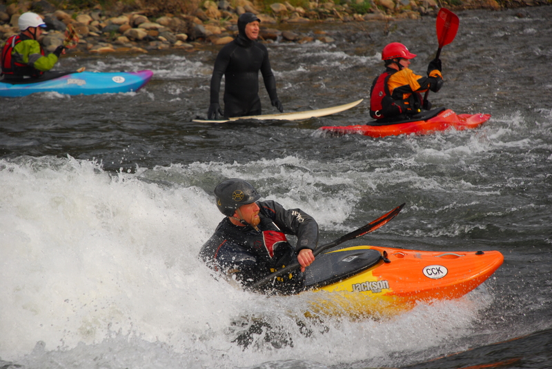
Photo
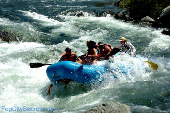
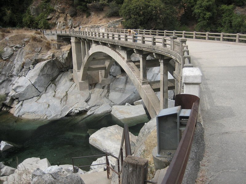
Photo courtesy of American Whitewater
Description
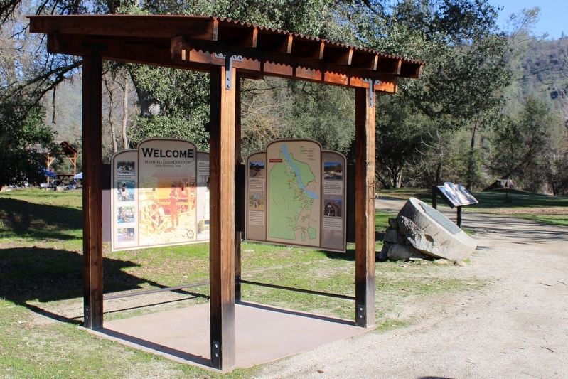
This takeout is administered by Bureau of Land Management and accessed from Highway 49 at mile post 27. The parking is just off the highway but it is an approximately 300 yard hike up from the river to the parking area on a dirt trail.
Location
Other Rapids on This Run (12)
 Rapid
N/A
Rapid
N/A
Marshall Gold Discovery State Historic Park in Coloma
 Rapid
II
Rapid
II
Gremlin's
 Rapid
II
Rapid
II
Old Scary
 Rapid
N/A
Rapid
N/A
Highway 49 Bridge
 Rapid
N/A
Rapid
N/A
Henningson Lotus Park
 Rapid
II+
Rapid
II+
Pink Fuzzy Bunny With a Fang
 Rapid
N/A
Rapid
N/A
Camp Lotus
 Rapid
II
Rapid
II
Barking Dog
Rapid
II
Killer Fang Falls
 Rapid
II
Rapid
II
Current Divider
 Rapid
II+
Rapid
II+
Highway Rapid
 Rapid
II
Rapid
II
Swimmer's
View Full Run
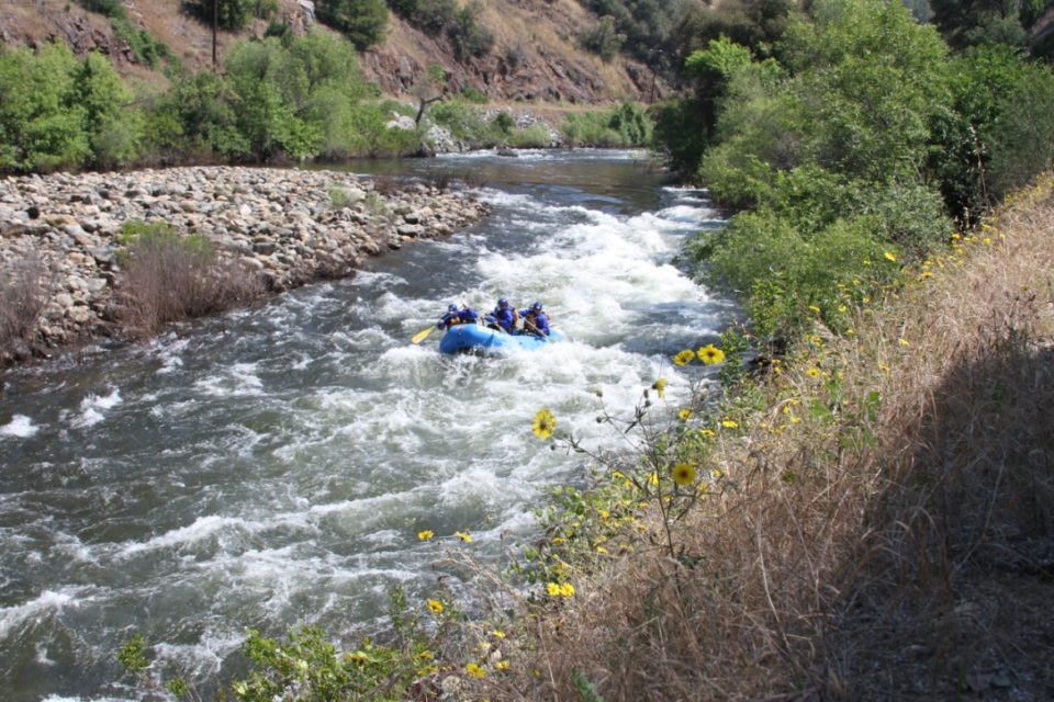
7. Coloma to Greenwood Creek
American, South Fork
II
5.6 mi
Current Conditions
5-Day Forecast
Whitewater data from
American Whitewater
American Whitewater