Hawley-Wood Hole (HWH)
Menomonee - C) MenTosa: Hart Park Lane to W.Monarch Place or 4198 W.St.Paul Avenue (2.7 or 3.7 miles) (WI)
Gauge Conditions
Float trip with (grungy) riffles and rips.
Photo
Description
The name (an intentional play on words with a feature on a popular major river elsewhere) alludes to the location at Hawley Road, as well as a reference and tribute to the Wood Veterans Hospital and Wood National Cemetery which is not far to the south of here.
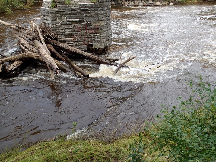
At good flows, as you approach Hawley Road bridge, one or two playable waves can form at certain levels. They will be COTF (catch-on-the-fly), one-shot play.
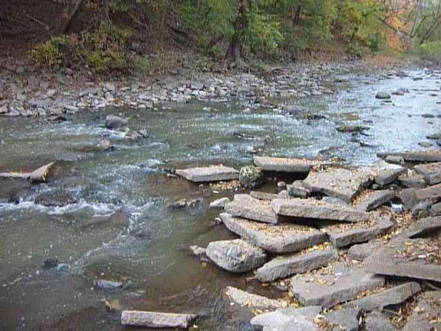
BTW, this location can be a river entrance or exit point (if you can get ashore upstream of Hawley), but be aware that the rock rubble which lines the river-right bank is very dangerous footing. Rocks may shift underfoot, and a slip or fall here (especially if you are carrying a boat) would be very painful. Rather than trying to go up/down the rock rubble, enter/exit a bit upstream of the bridge, where there is a bit of break in the trees. Footing may be a bit slick when conditons are damp, but at least there aren't angular rocks.
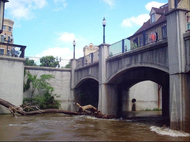
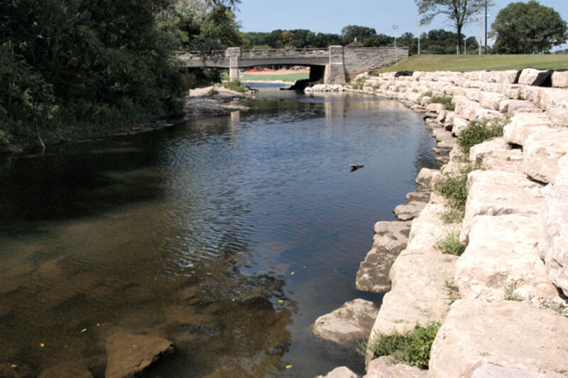
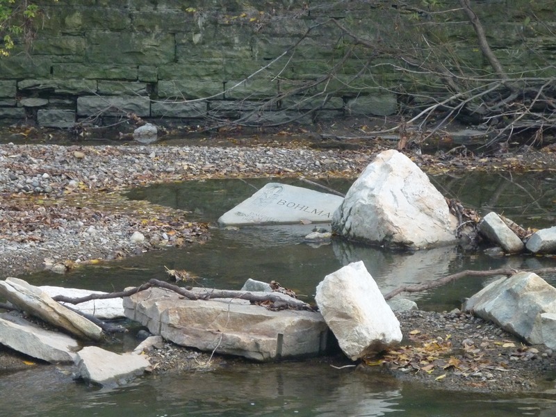
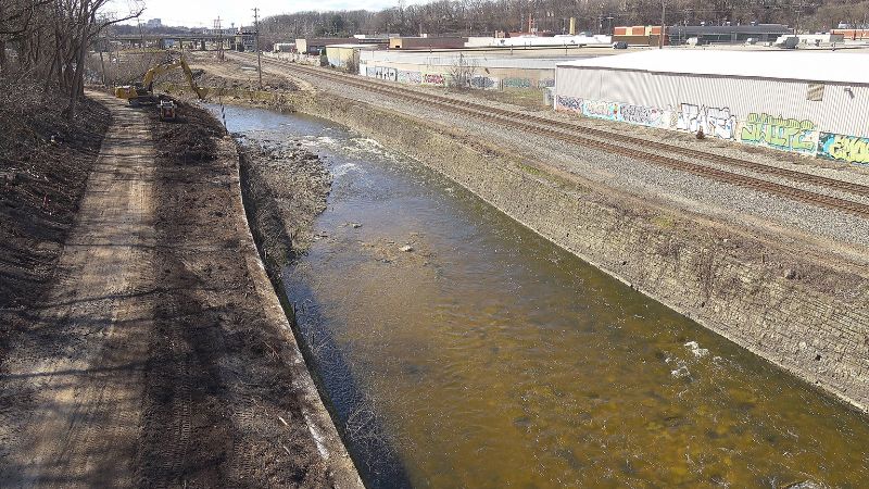
Immediately after the Hawley Road bridge, the 2024/2025 project has removed the deteriorating vertical wall from river-left from here down to the freeway overpass, replacing it with a stepped shore of huge blocks of quarried rock. Midway down this stretch, the right wall is also replaced with huge blocks of quarried rock, but with much wider steps. This has maintained the former stream width at flows under 1200-1500 cfs, but allows flows to spread wider above those flows.
======================================================================================
Construction continues (as of 2025.10.19), so we'll have to see how various features form once the project is complete and temporary diversion walls are removed. Presently, temporary barrier/walls in the river and crushed stone roadways for equipment in the river channel narrow the river and are creating a couple new features (described below).
Location
Other Rapids on This Run (20)
 Hazard
N/A
Hazard
N/A
 Rapid
II
Rapid
II
 Playspot
I
Playspot
I
 Playspot
I
Playspot
I
 Hazard
II+
Hazard
II+
 Playspot
II
Playspot
II
 Playspot
N/A
Playspot
N/A
 Playspot
II
Playspot
II
 Playspot
II
Playspot
II
 Hazard
II
Hazard
II
 Playspot
II
Playspot
II
Current Conditions
5-Day Forecast
American Whitewater