Take-out
OR
Highway 199 Take Out
Rough and Ready Creek, South Fork - Hike in to Below Confluence w. N.Fk (OR)
Gauge Conditions
Runnable: ? – ? CFS
Approximate - nearest available gauge. Use as general reference only.
Data from American Whitewater & USGS
Photo
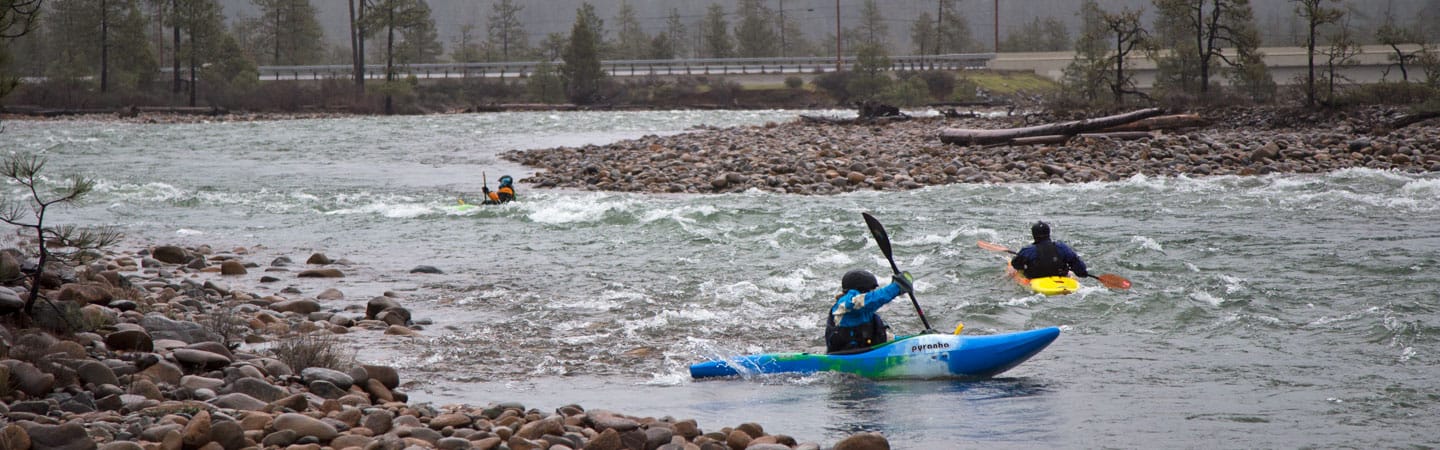
Photo courtesy of American Whitewater
Description
The Highway 199 Take Out marks the end of a challenging section on Rough and Ready Creek's South Fork, characterized by its remote access and potential for navigational complexity. While specific rapid features are unclear from available information, paddlers should be prepared for potential unscouted obstacles and the need for careful route-finding in this hike-in stretch below the North Fork confluence.
Location
Other Rapids on This Run (2)
View Full Run
Hike in to Below Confluence w. N.Fk
Rough and Ready Creek, South Fork
IV-V
4.1 mi
Current Conditions
5-Day Forecast
Whitewater data from
American Whitewater
American Whitewater