How's Your
River
×
Explore
Explore Map
Water Bodies
Gauges
Access Sites
Tidal Stations
Whitewater
Pricing
Login
Sign Up
Hazard Warning:
Hazard information may be user-submitted and unverified. Conditions change frequently. Always scout rapids and obstacles yourself.
Whitewater
Arizona
Salt - 01. Fort Apache to US 60
Highway 60 Bridge, First Campground, Take Out
Take-out
AZ
Highway 60 Bridge, First Campground, Take Out
Salt - 01. Fort Apache to US 60 (AZ)
Monitor this Rapid
Water Body
This Run
Map
Other Rapids
Gauge
Weather
Directions
Gauge Conditions
Salt River near Chrysotile, AZ
Downstream
Primary
Runnable: 500.0 – 20,000.0 CFS
Data from
American Whitewater
&
USGS
Description
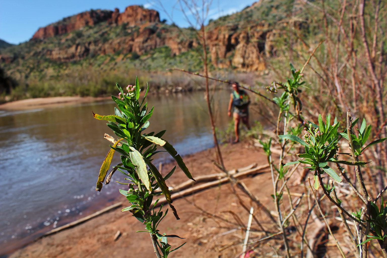
Access on river right downstream of the bridge.
Location
Radar
Counties
Cell
Verizon
AT&T
T-Mobile
Dark
Satellite
Terrain
Other Rapids on This Run (2)
Rapid
N/A
Fort Apache, Put In
0.0 mi
Rapid
N/A
Apache Falls
51.4 mi
Type
Take-out
Difficulty
Class N/A
Mile Marker
52.5 mi
Directions
Navigate
View Full Run
01. Fort Apache to US 60
Salt
III-IV+(V+)
52.0 mi
Current Conditions
5-Day Forecast
Whitewater data from
American Whitewater
Highway 60 Bridge, First Campground, Take Out